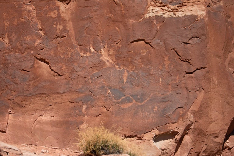
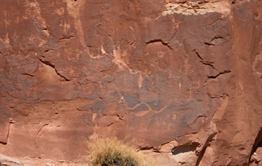
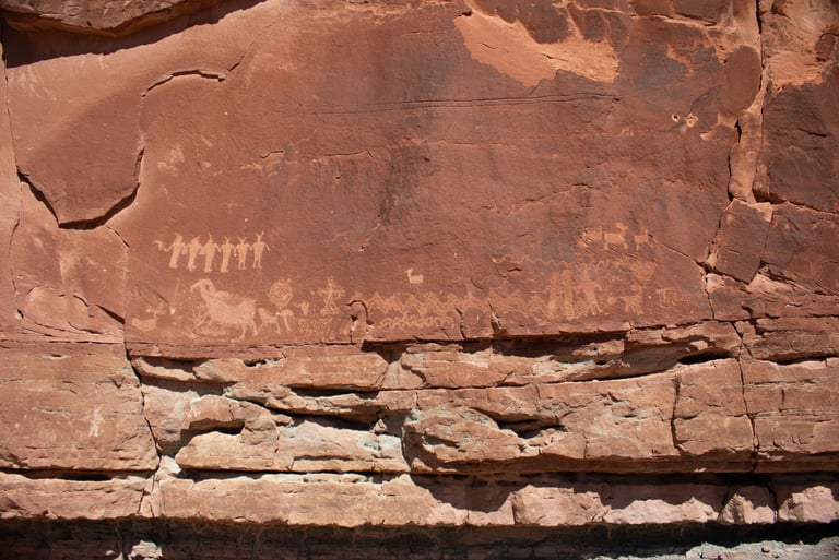
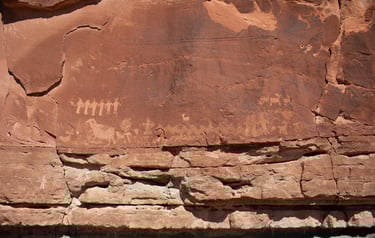
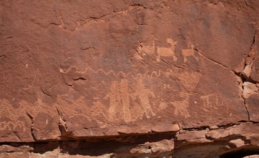
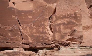
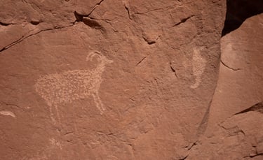
Poison Spider
The Poison Spider trailhead is a little less than a mile beyond the Potash Road petroglyphs. It's actually called the Longbow Arch Trailhead. There is a large parking lot and vault toilets. The trail to the petroglyphs is a little challenging. My knee was in a fairly rigid brace, and I found myself sliding down rocks on my butt at times. Castleton refers to this site as site #3 of the North Bank of the Colorado.
Coordinates for the parking lot:
UTM: 621357, 4265920
Decimal degrees: 38.53341, -109.60763
Lat/Long: 38° 32' 00.28", 109° 36' 27.50"
Maps:
1:100,000 Moab
1:24,000 Moab
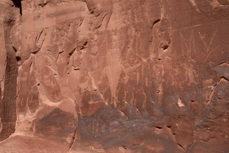

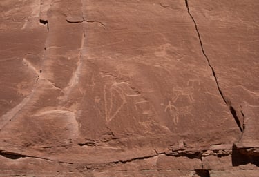
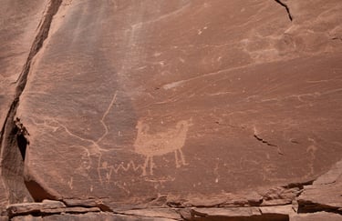
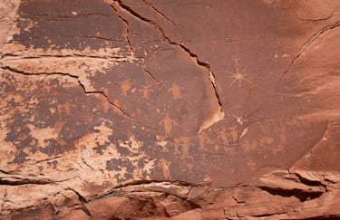
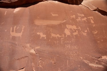
There is a glyph in the upper right corner that looks suspiciously like the symbol on a New Mexico license plate.
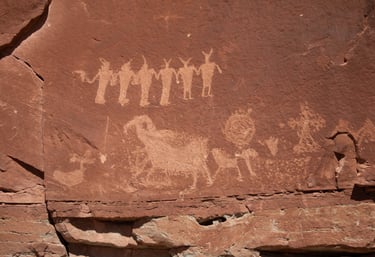
Castleton v.1, p.189.
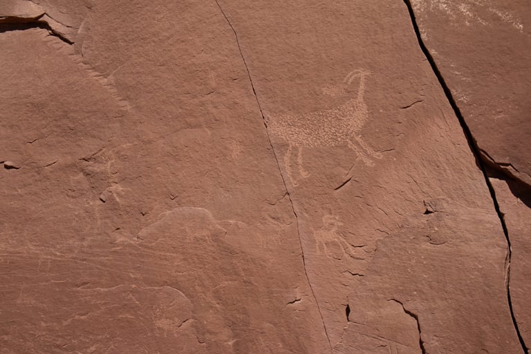
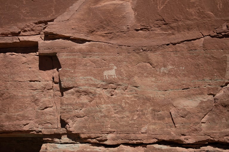
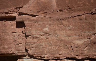
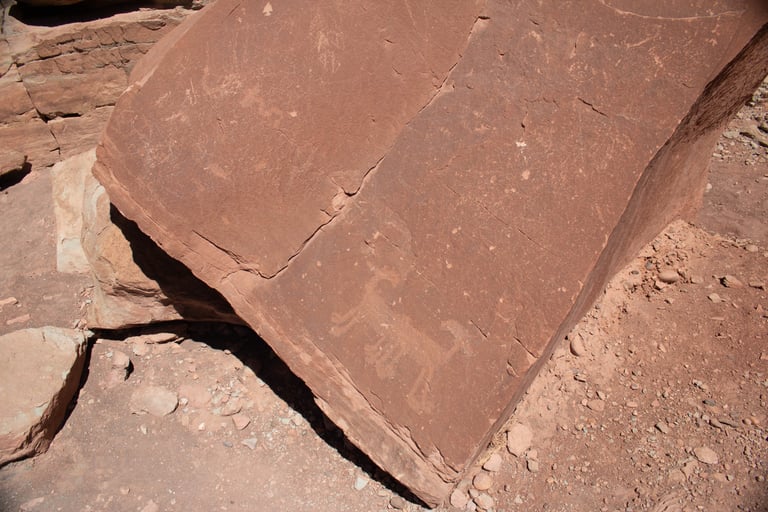
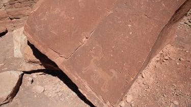
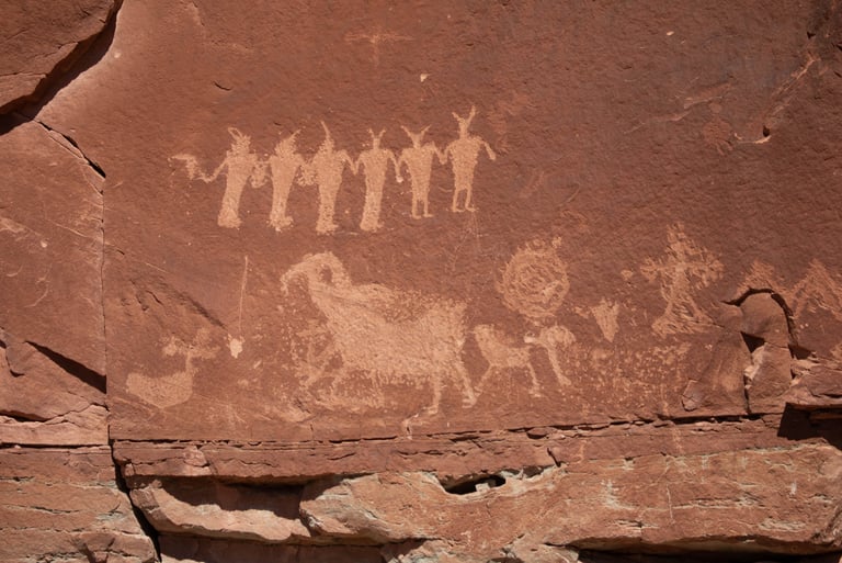
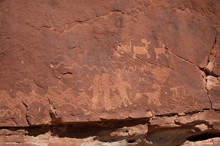
These are two of several "two-headed" or two sheep "back to back" in the area. Castleton v.1, p.190.
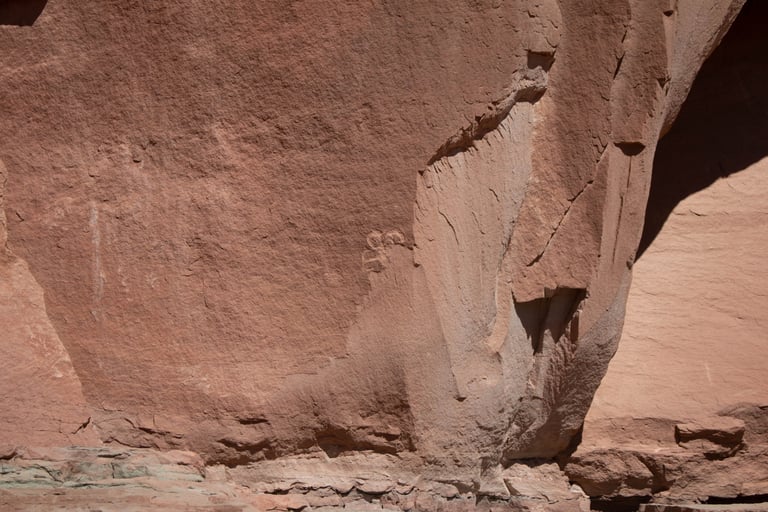
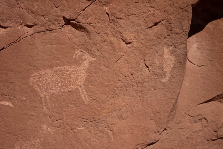

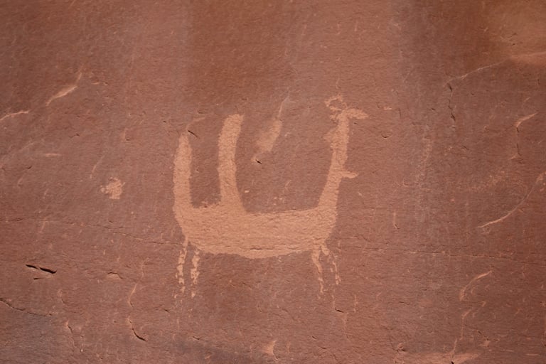
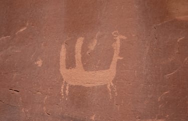
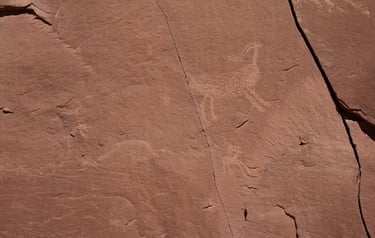
Castleton v.1, p.190.
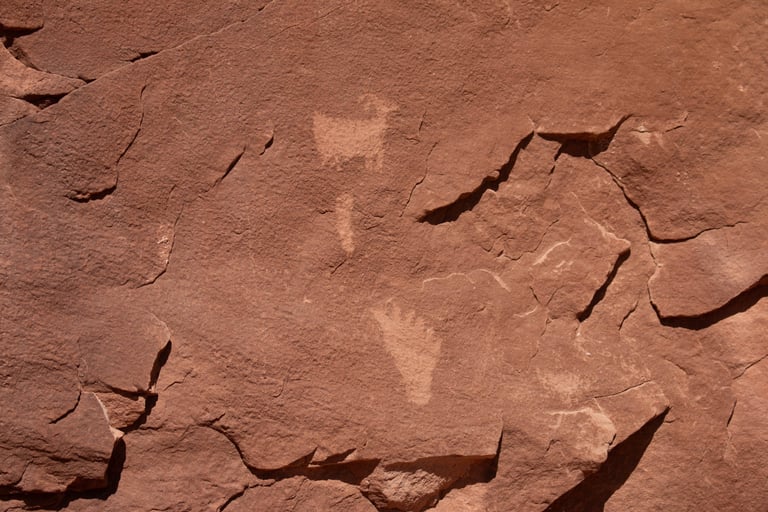
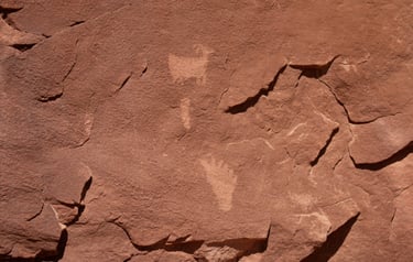
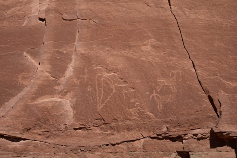
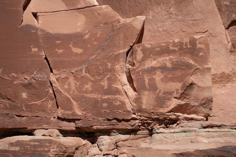
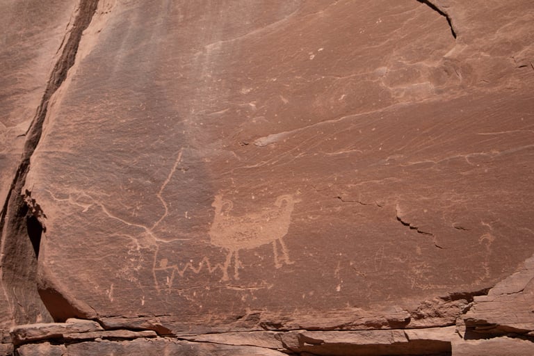
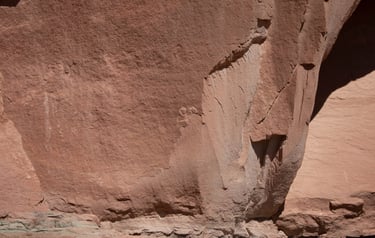
I love that the footprint has six toes.