Potash Road
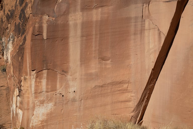
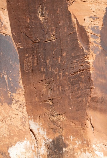
Castleton refers to this area as the north side of the Colorado River. These photos are from a well-marked site between where Potash Road turns southwest along the Colorado River to the Poison Spider Trailhead. Just beyond the School Room Slabs Climbing Wall and the Wall Street Climbing area are two turnouts. The first (heading south) is marked with a sign and an interpretive information plaque. The second turnout is about 250 meters south of the first one. These photos are from both.
Potash Road begins 3 miles north of the bridge spanning the Colorado River on US-191 in Moab.
Coordinates for Potash Road and US-191:
UTM: 621710, 4274000
Decimal degrees: 38.60616, -109.60218
Lat/Long: 38° 36' 22.18", 109° 36' 07.86"
Maps:
1:100,000 Moab
1:24,000 Moab
Coordinates for the first turnout:
UTM: 621998, 4267162
Decimal degrees: 38.54452, -109.60007
Lat/Long: 38° 32' 40.28", 109° 36' 00.28"
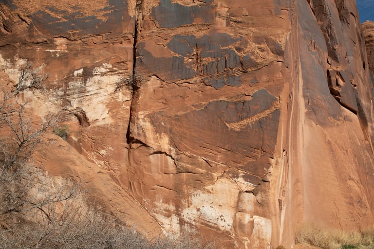
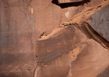
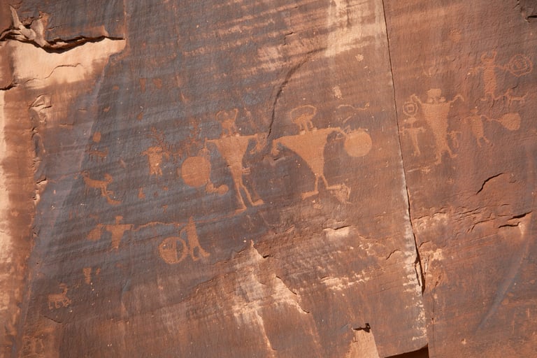
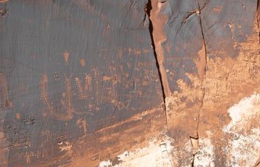
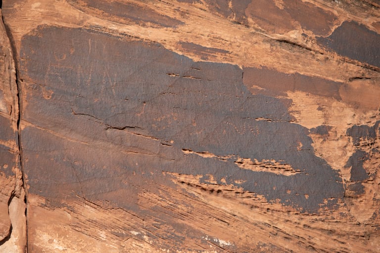
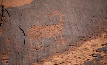
A sort of close-up of the previous photo.
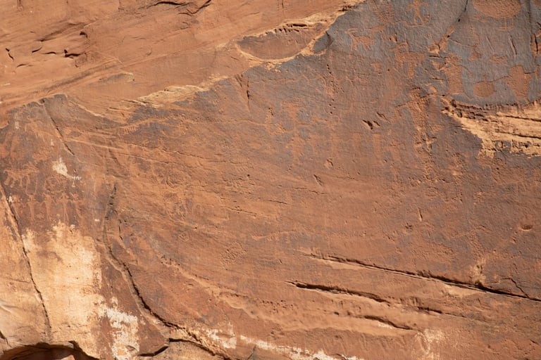
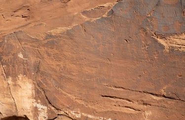
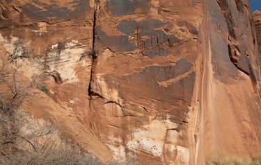
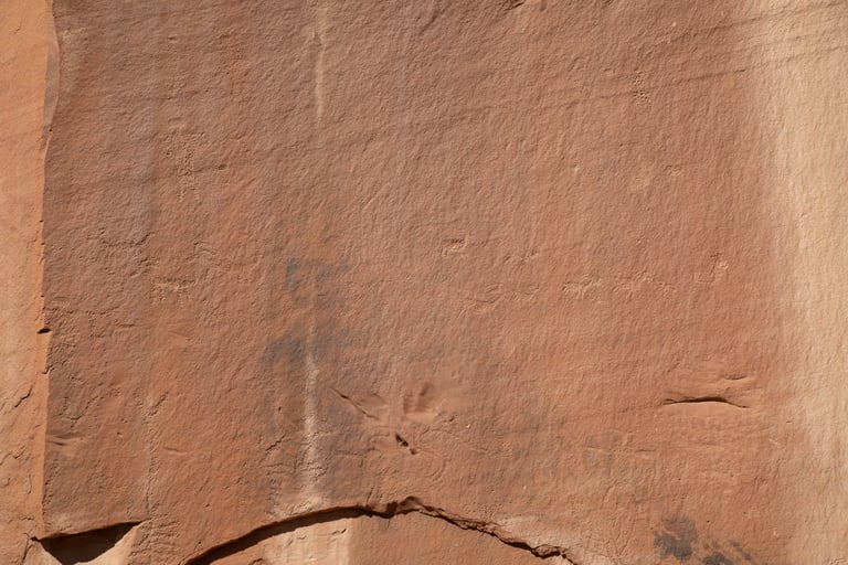
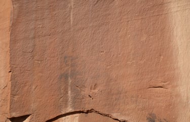
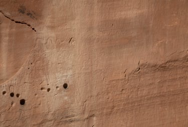
A couple more close-ups of the first photo.
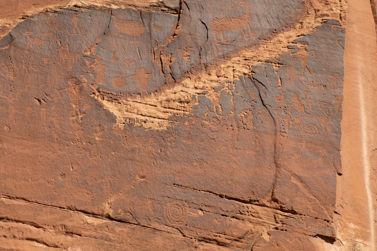
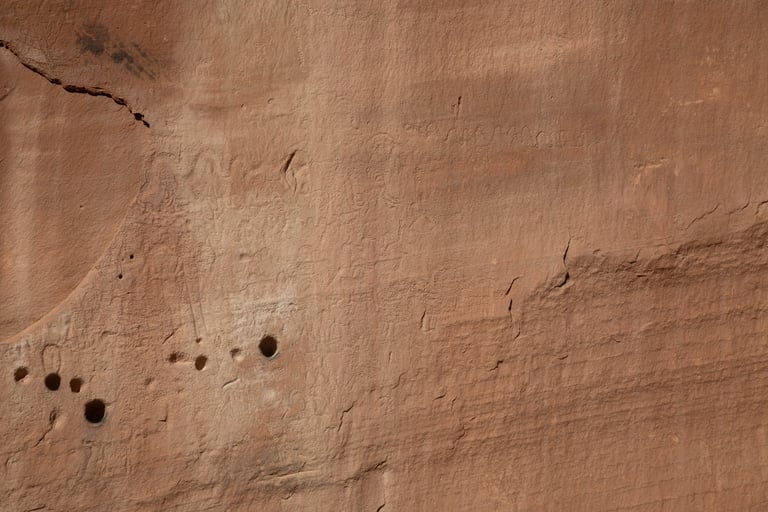
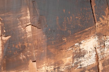
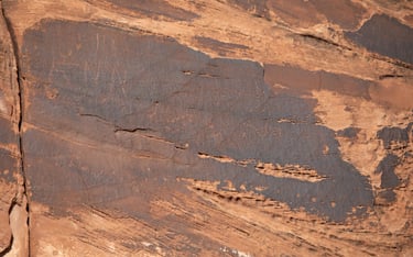
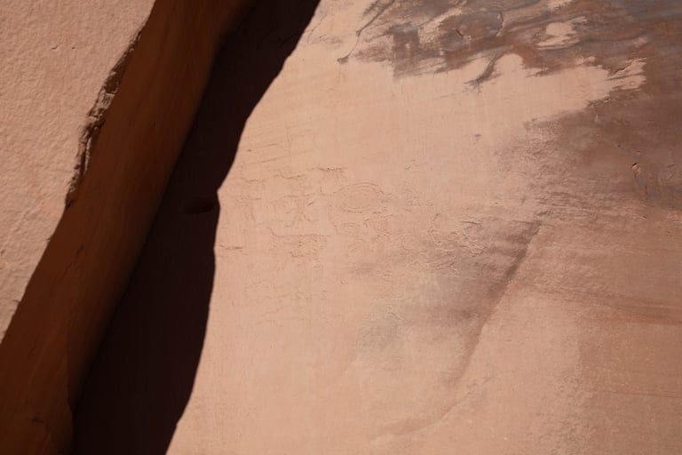
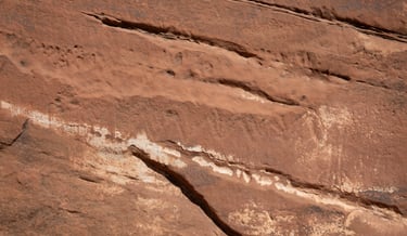
Around the corner to the right of the first photo. The patina contrast isn't as stark, so they are hard to see.
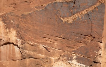
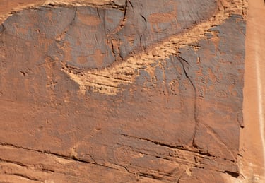
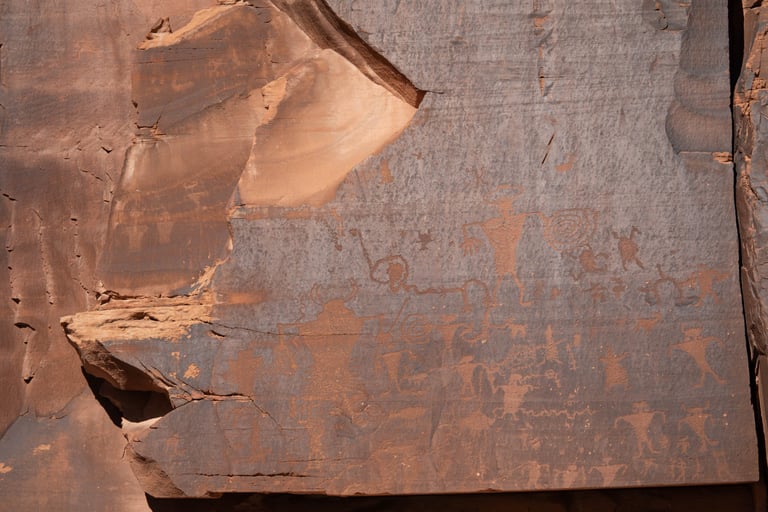
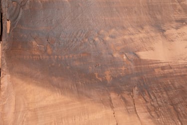
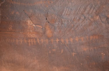
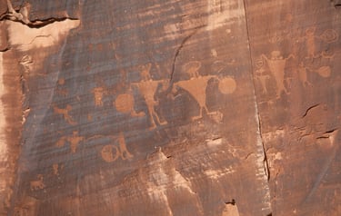
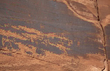
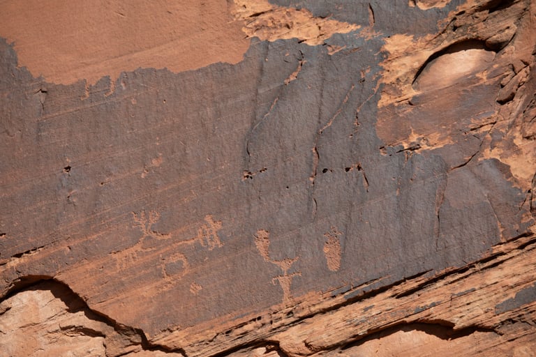
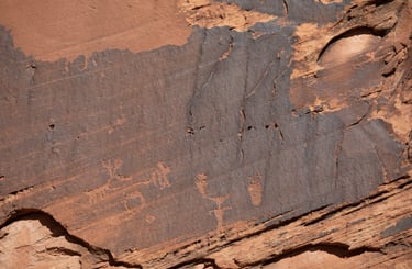
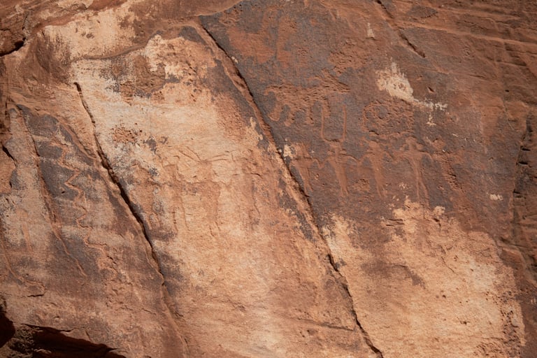
This one and the next three are close-ups of the previous one.


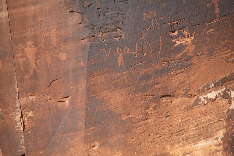
The figure in the upper right made me think of a hula skirt. This panel was shown in one of the Ancient Aliens episodes.
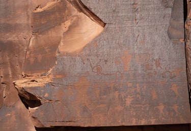
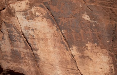
A close-up of the figures in the upper left of the previous photo.
This was above the previous two photos.

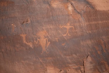
The headdress is fascinating.
These two are just to the left of the following panel.
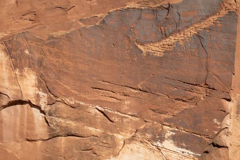
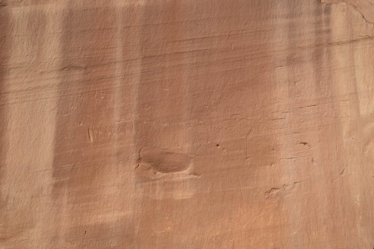
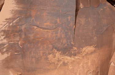
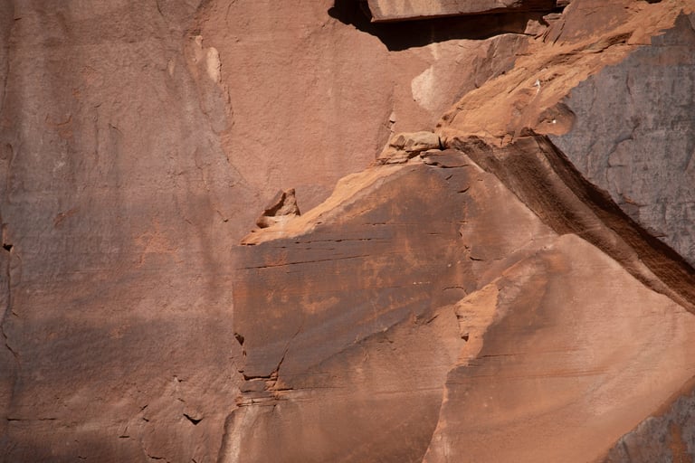
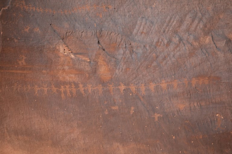
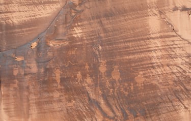
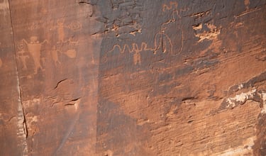
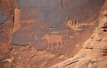
I really liked this panel, so I took a lot of pictures.

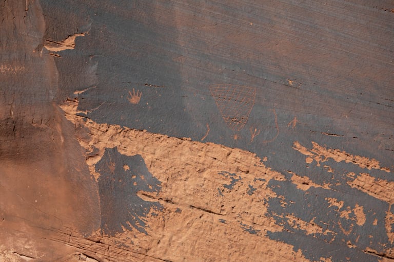
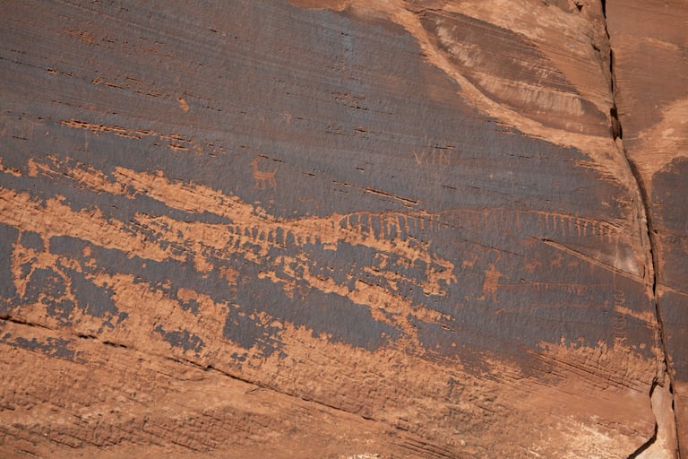

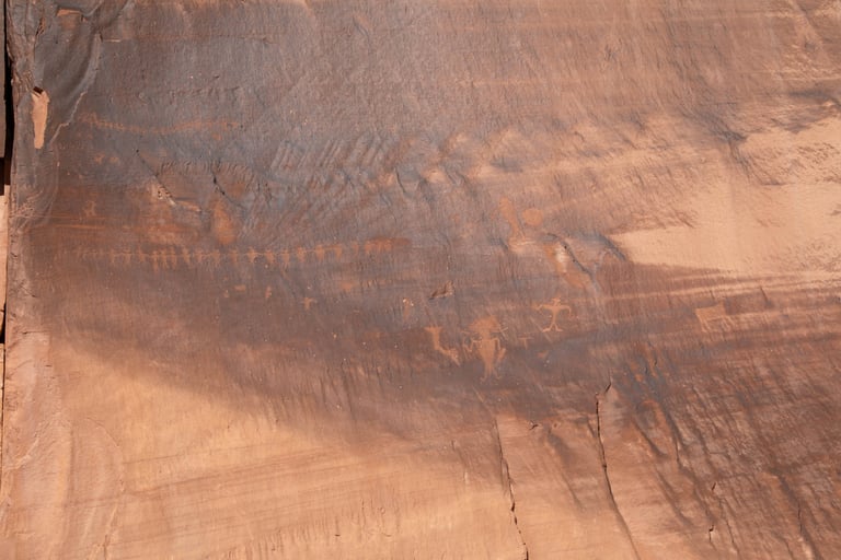
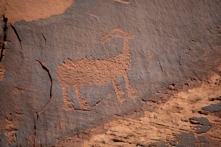
We've seen these "hooved" feet in Nine Mile Canyon.
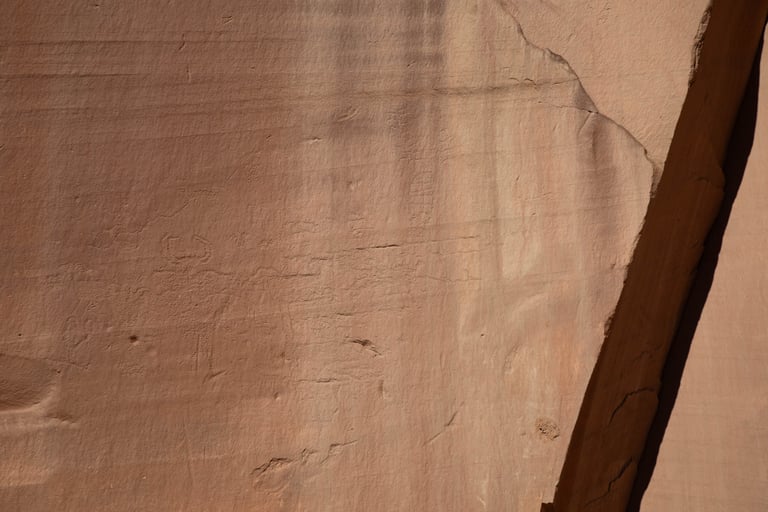
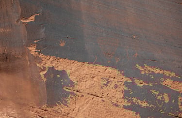
This one looked much older than most of the others.

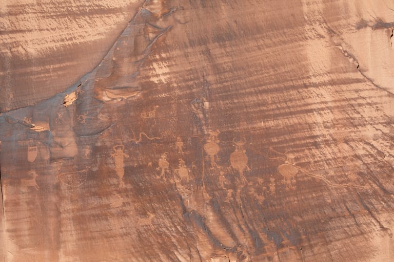
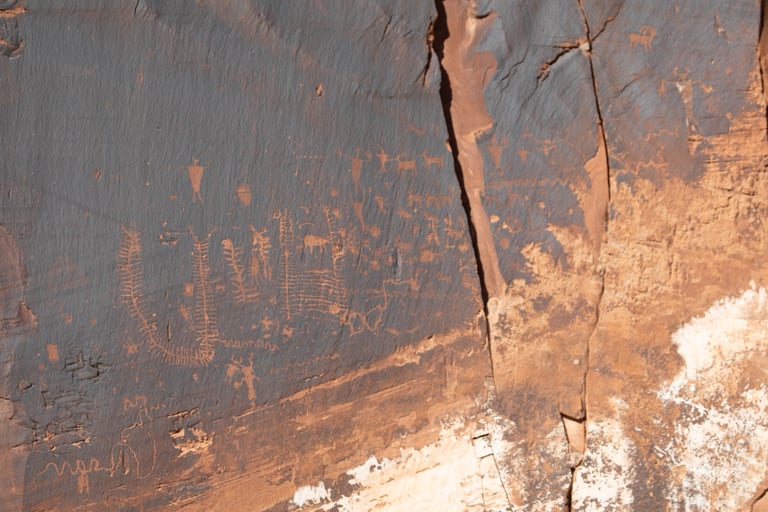
This one is at the second turnout. Castleton v.1 p.189; Slifer, p.100.