UT-313
UT-313 travels WSW from US-191 at the Moab Giants, about 13 miles north of downtown Moab. There are several well-known and some lesser-known sites along this road.
Coordinates for the parking turnout:
UTM: 611033, 4278527
Decimal degrees: 38.64834, -109.72405
Lat/Long: 38° 38' 54.04", 109° 43' 26.59"
Coordinates for Intestine Man:
UTM: 610971, 4278556
Decimal degrees: 38.64861, -109.72476
Lat/Long: 38° 38' 55.03", 109° 43' 29.15"
Maps:
1:100,000 Moab
1:24:000 Merrimac Butte
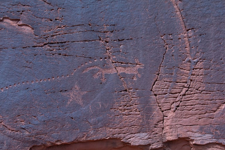
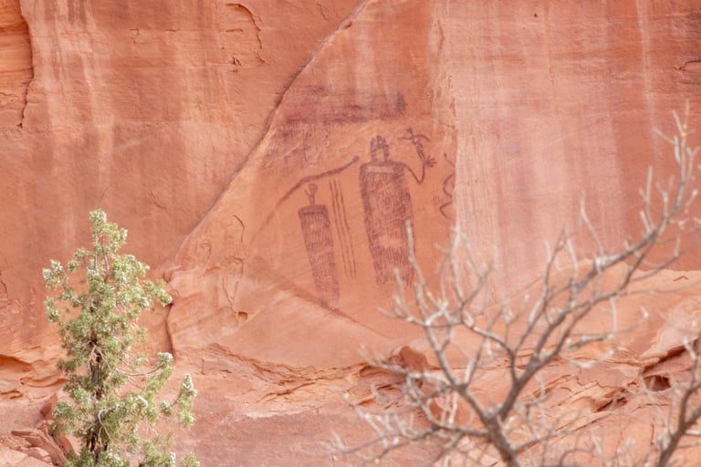
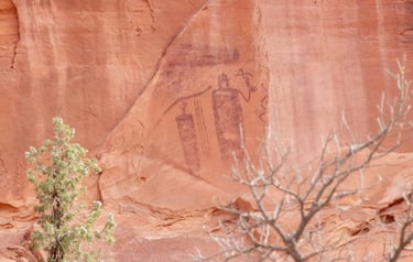
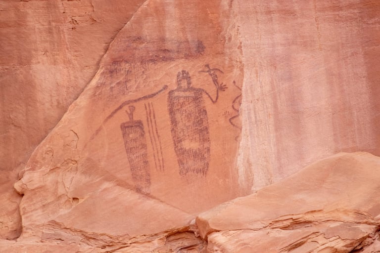
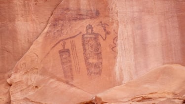
Intestine Man is the first well-known site on UT-313. There is a plaque on the right-hand side of the road 2.7 miles from the turn-off from US-191. It's very easy to miss if you're going very fast at all.
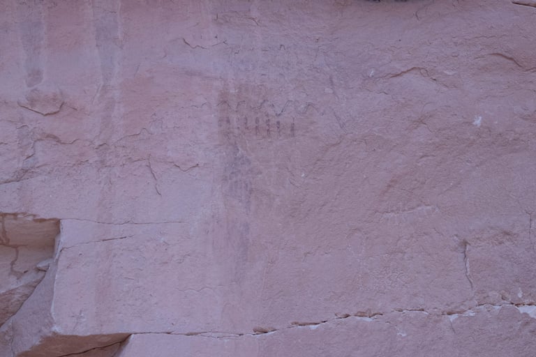
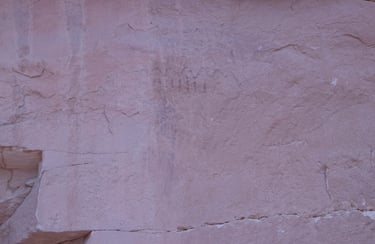
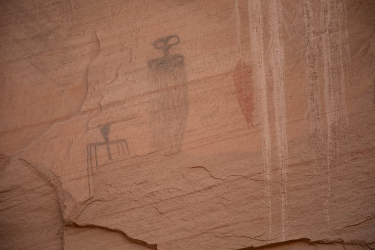
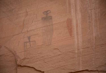
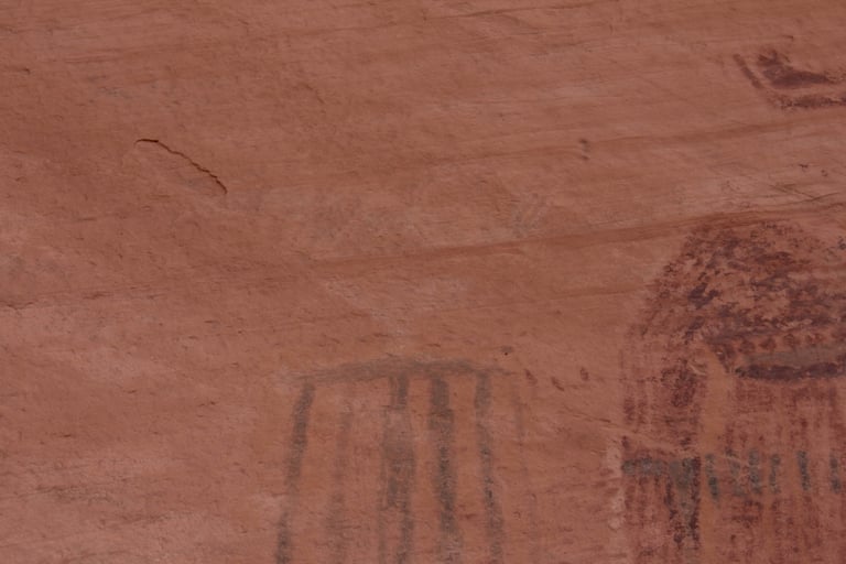
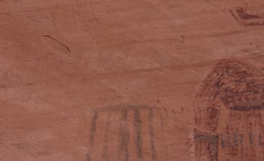
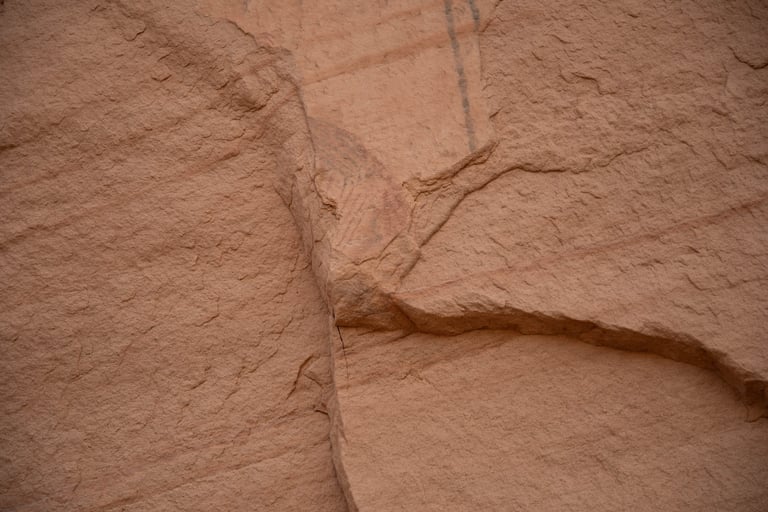
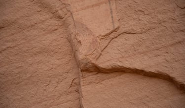
This glyph is on the side of the road as you're driving to Intestine Man. After we got home, I discovered there is at least one panel between this glyph and Intestine Man.
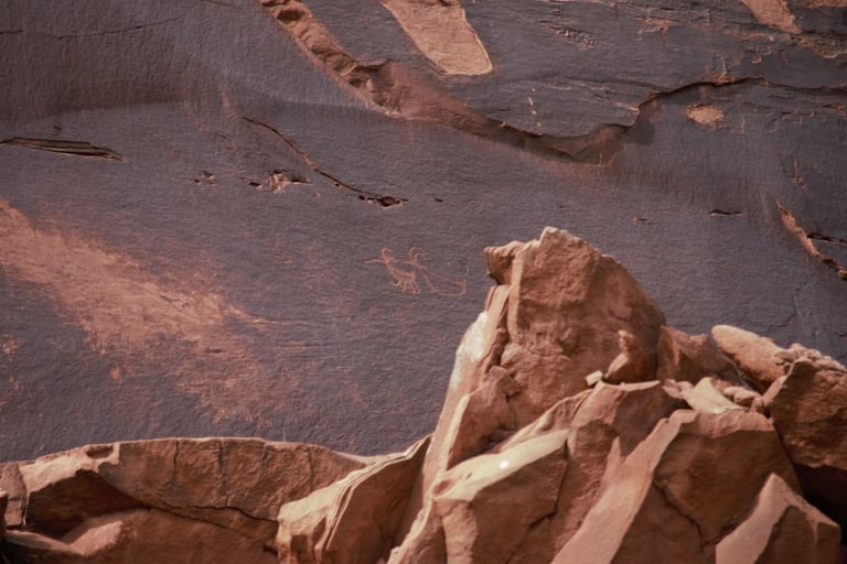
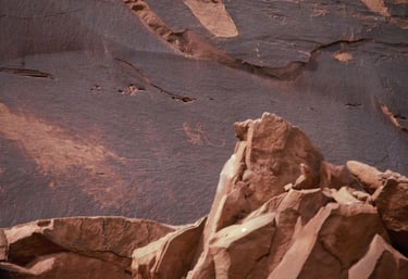
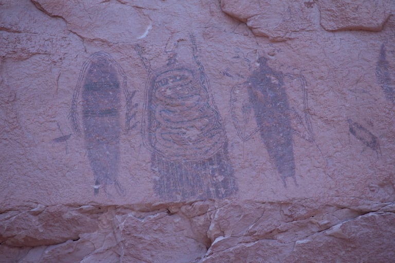
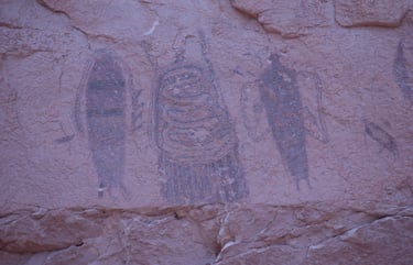
As you approach the cliff, Intestine Man is on the left.
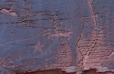
A close-up of Intestine Man.
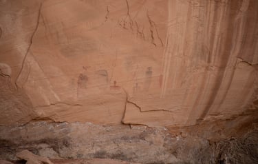
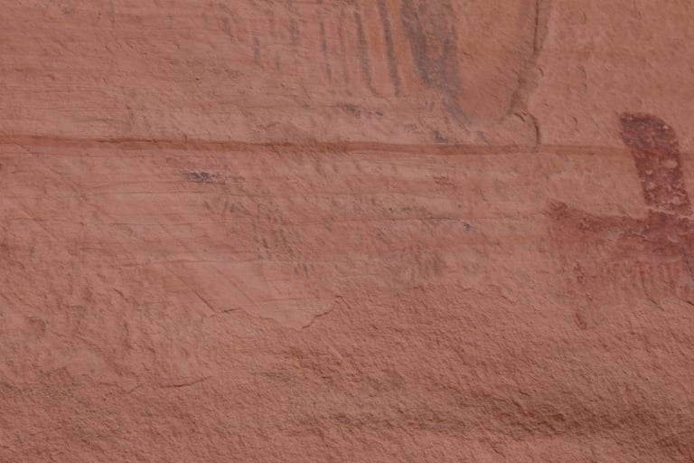
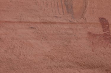
This is in between Intestine Man and the Sheep Panel.
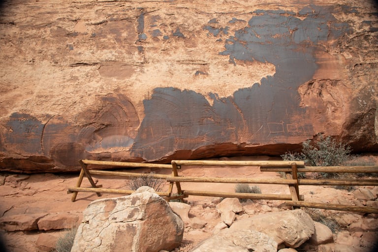
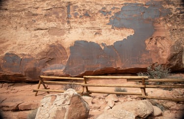
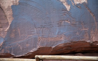
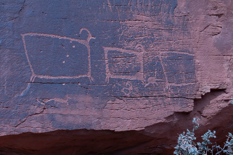
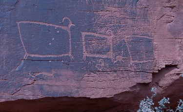
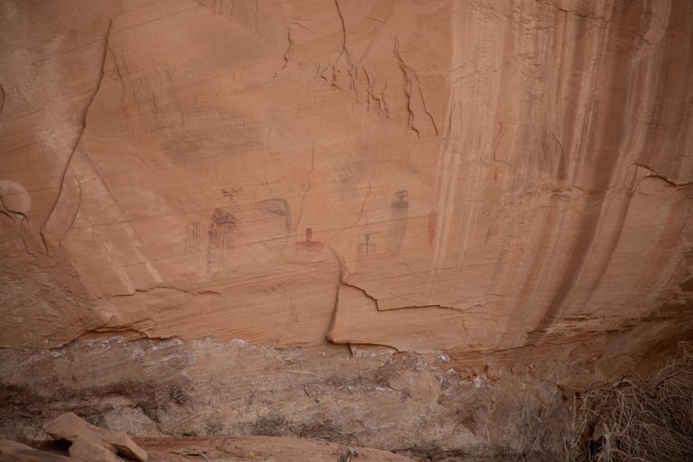
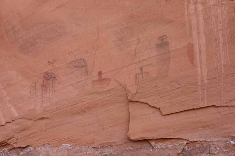
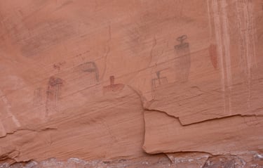
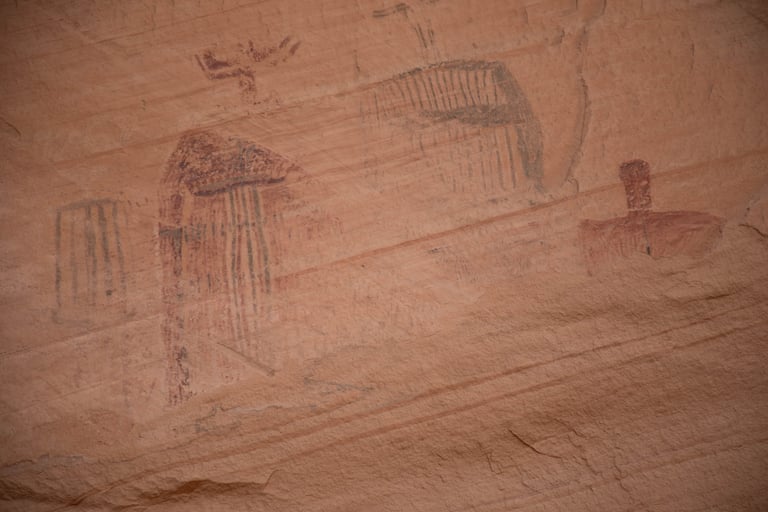
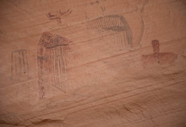
To the right of Intestine Man is a large panel.
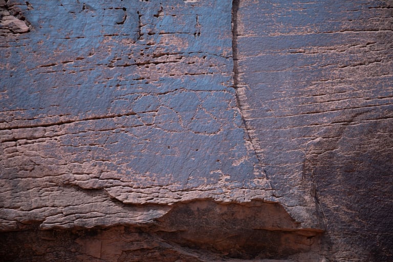
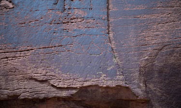
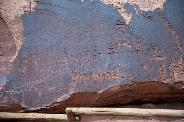
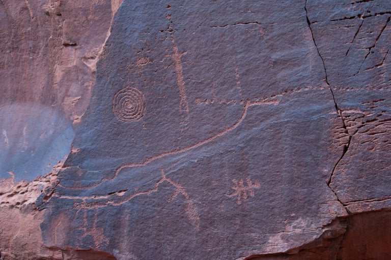
A close-up of the glyph that appears on the far left of the previous photo.
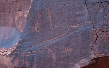
Another close-up.
Even closer.
The sheep are to the far right of the area. Castleton v1, p186.
Snake in the Mouth is another single panel, very high on the cliff on the opposite side of the canyon, almost due east and about 475 meters as the crow flies from Intestine Man. We didn't climb up to the wall with the panel on it (I was hiking with a torn meniscus), but I'm sure there are pictographs that we couldn't see from below. The photos we did get were with a high-magnification telephoto lens. Even when highly magnified, it's a bit hard to see the black "snake" in the center figure's mouth.
Use the turnout for Intestine Man for parking.
Coordinates for the parking turnout:
UTM: 611033, 4278527
Decimal degrees: 38.64834, -109.72405
Lat/Long: 38° 38' 54.04", 109° 43' 26.59"
Coordinates form where we took photos:
UTM: 611443, 4278525
Decimal degrees: 38.64828, -109.71935
Lat/Long: 38° 38' 53.81", 109° 43' 9.66"
Maps:
1:100,000 Moab
1:24:000 Merrimac Butte
The Bartlett Rock Art Site is a single panel with few miles beyond Intestine Man. After 8.5 miles after leaving US-191, turn right onto Old Dead Horse Point Road. Follow this road for eight-tenths of a mile to Hell Roaring Road and turn left. I wouldn't try Hell Roaring Road without a four-wheel drive vehicle. Whether hiking or driving, the trailhead is about one-half mile from this intersection.
Coordinates for the trailhead:
UTM: 602912, 4276830
Decimal degrees: 38.63404, -109.81760
Lat/Long: 38° 38' 2.54", 109° 49' 3.39"
Maps:
1:100,000 Moab
1:24:000 Jug Rock
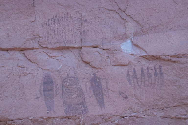
On our first pass, we walked right under these and didn't see them.
A little different angle.
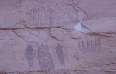
Closer shots of the overall view of the panel.
If you look closely at the figure on the left, it appears this image had a triangular-shaped head done in white that is now mostly gone.
There is some faint paint to the left of the red figure. We couldn't tell if it belonged to the figure above it or if it was part of another pictograph below that has since fallen away.
This is between the fourth and fifth figures (going left to right). There must have been figures on the rock that has fallen away below the first four figures, and probably the others as well.