Rochester
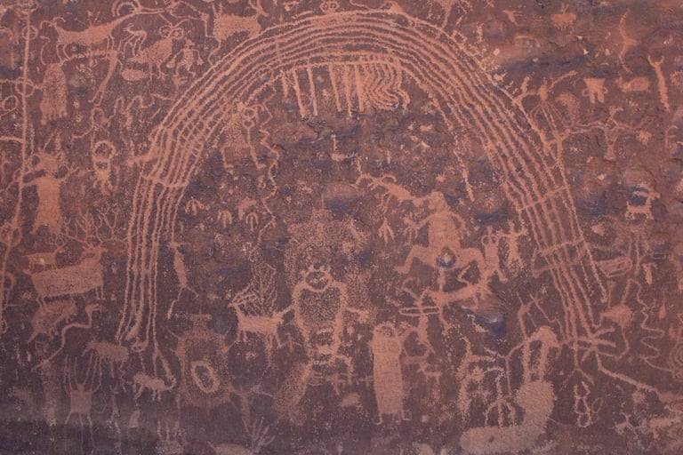
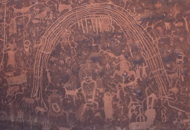
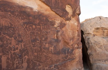
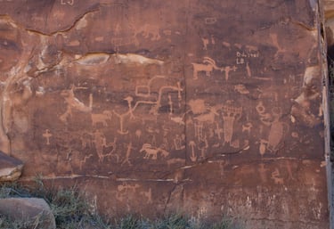
The Rochester Panel is a well-known panel on a well-marked trail on BLM land east of the town of Emery. It is a spectacular panel about one-third of a mile hike from the parking area.
Coordinate for parking:
UTM: 483064, 4306438
Decimal Degrees: 38.90667, -111.15933
Lat/Long: 38º 54' 24.01", -111º 11' 43.18"
Coordinate for the panel:
UTM: 482828, 4306046
Decimal Degrees: 38.90313, -111.19804
Lat/Long: 38º 54' 11.27", -111º 11' 52.94"
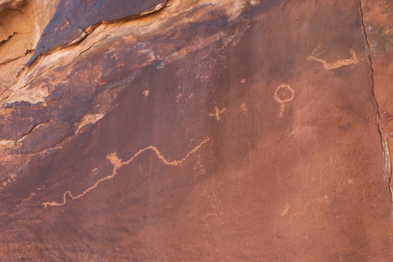
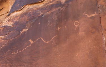
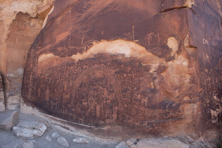
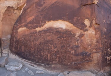
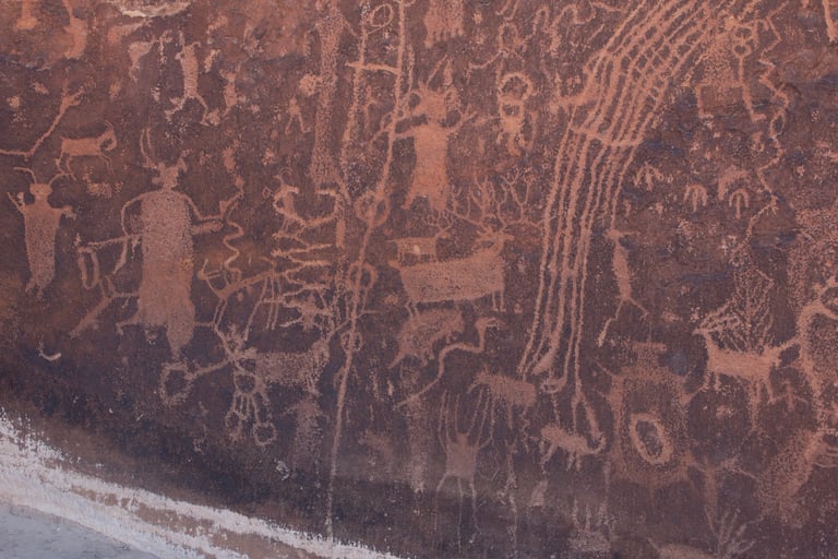
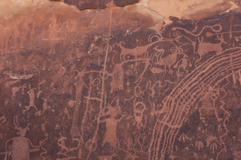
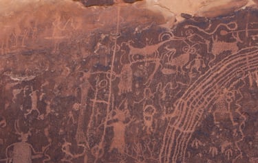
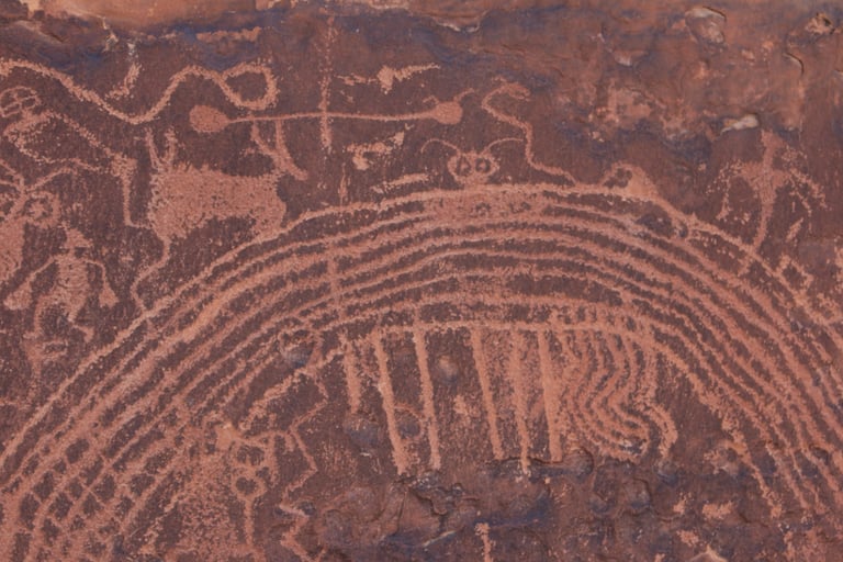
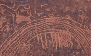
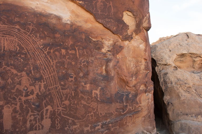
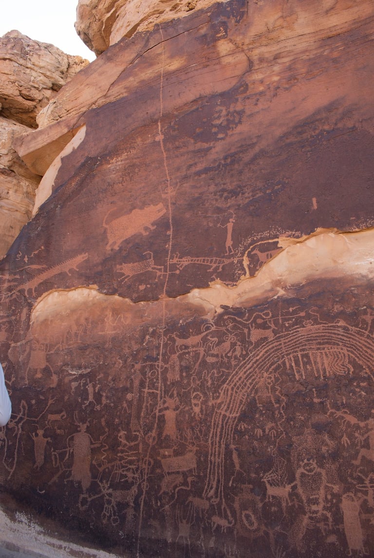
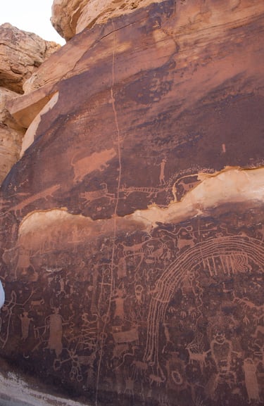
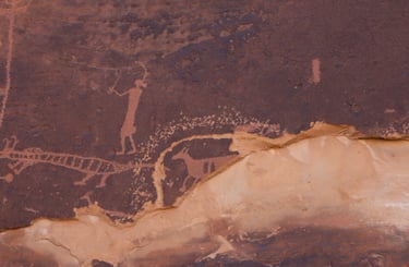
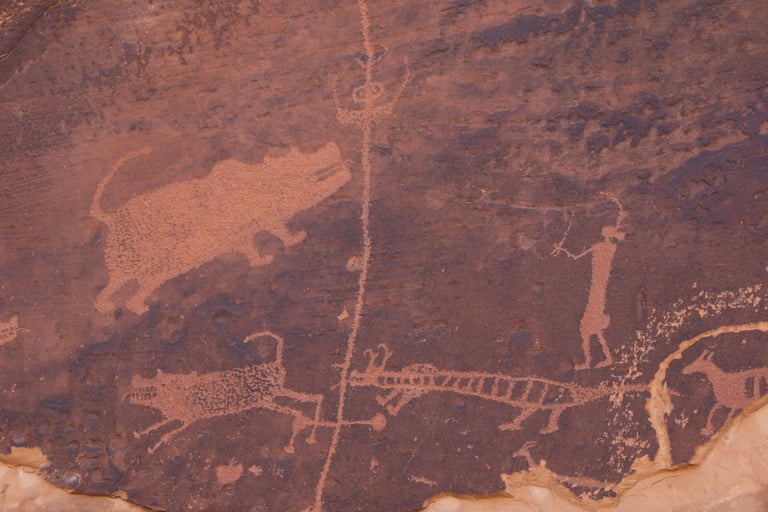
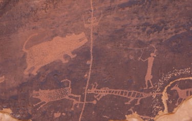
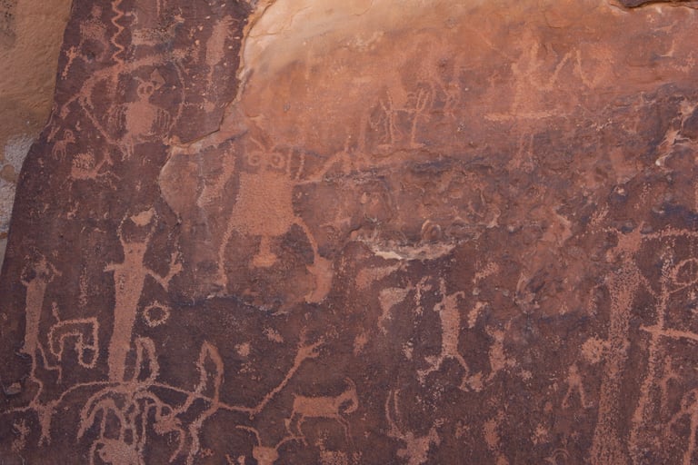
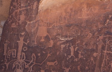
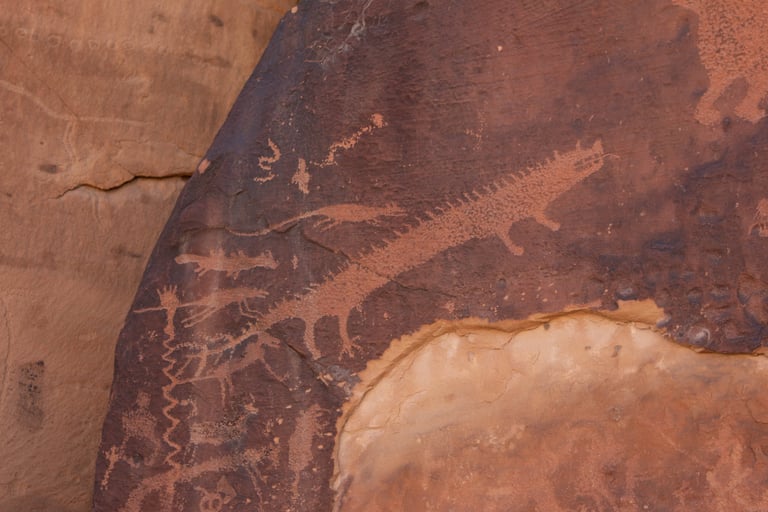
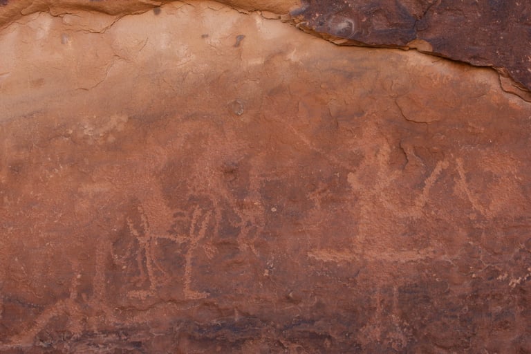
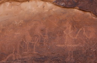
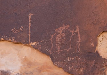
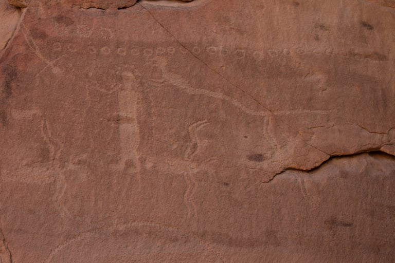
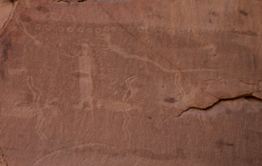
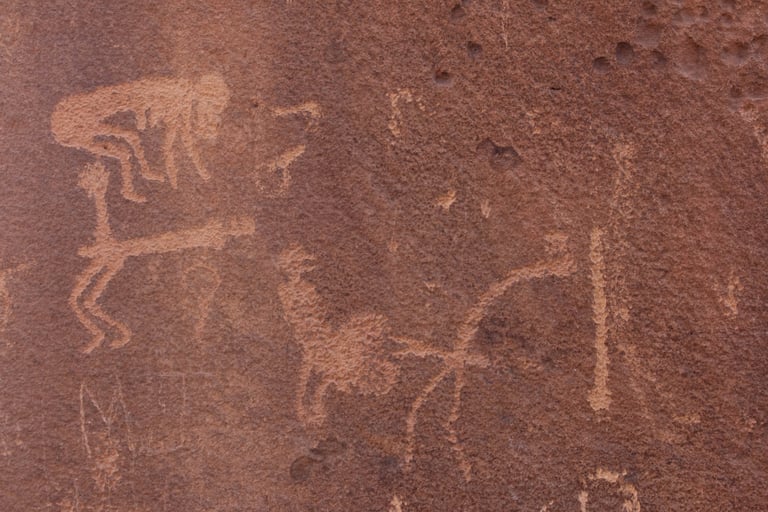
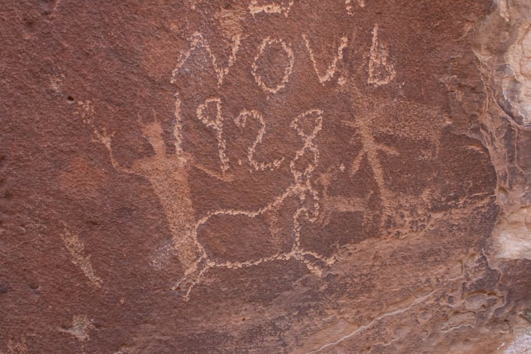
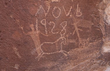
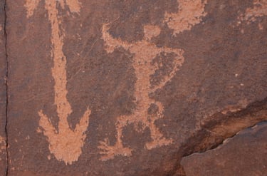
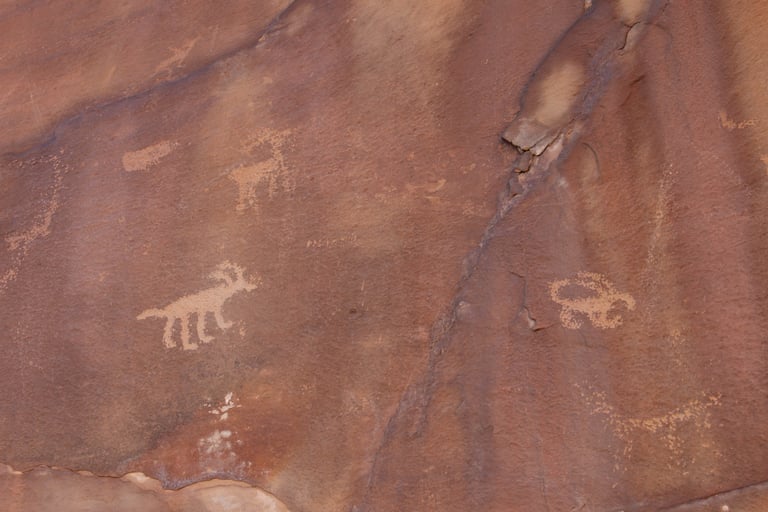
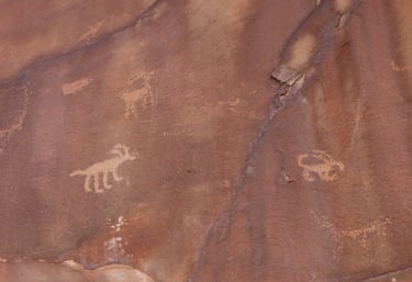
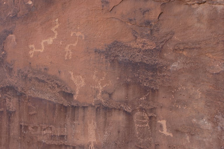
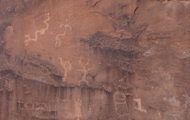
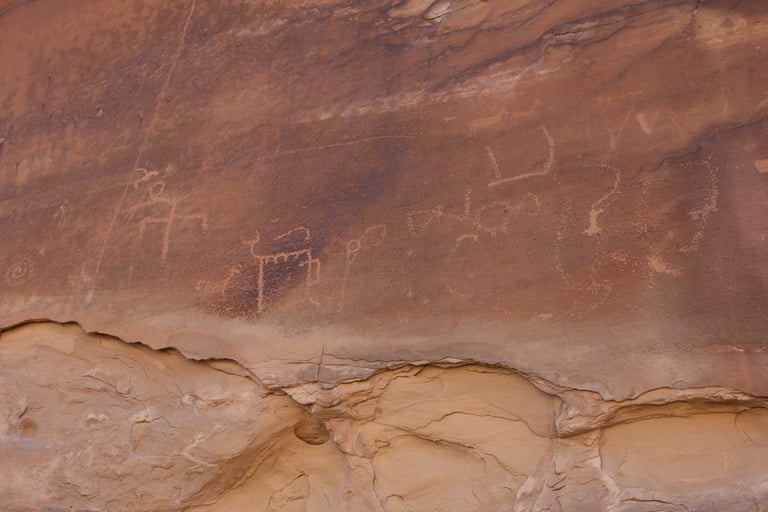
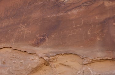
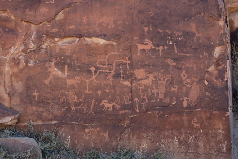
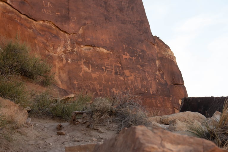
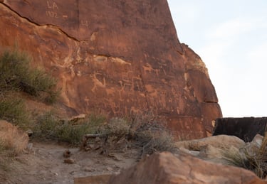
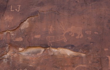
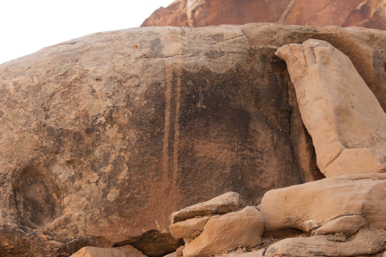
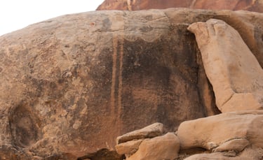
When you first walk around a corner and see this panel, it will stop you in your tracks. It is the busiest panel we've seen so far. The next several photos are different angles and close-ups.
Castleton v.1, p.118. Schaafsma, p.63.

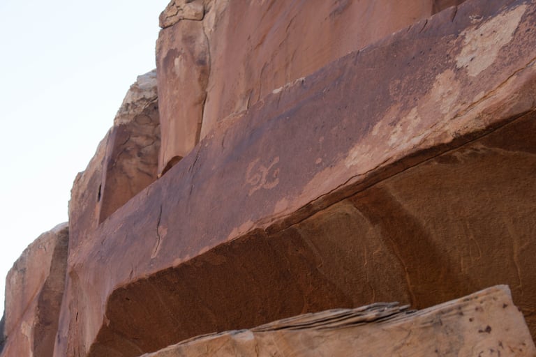
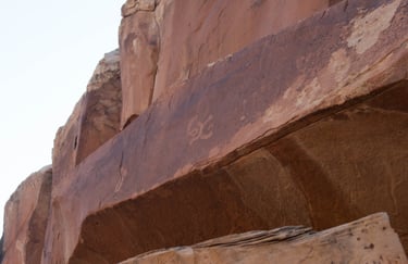
I looks to me like someone was trying to steal the glyph and broke it.


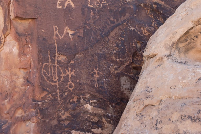
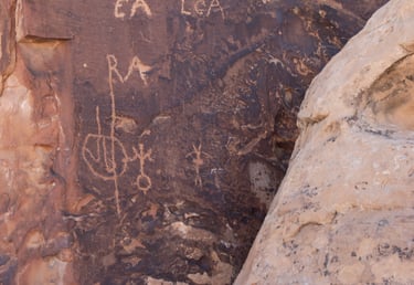
These are on the lighter rock at the very left of the overall photo above.
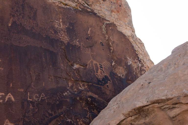
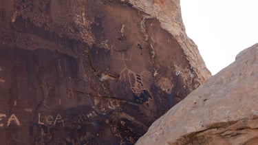
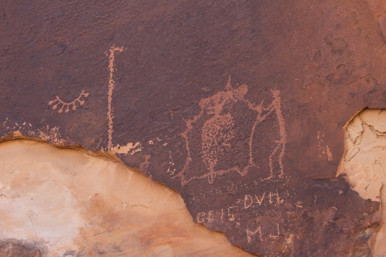
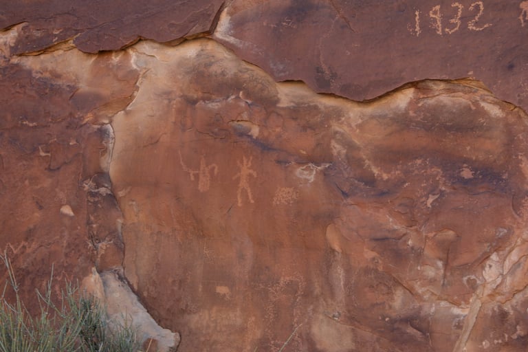
This is on a rock facing the main panel.
Castleton v.1, p.119.
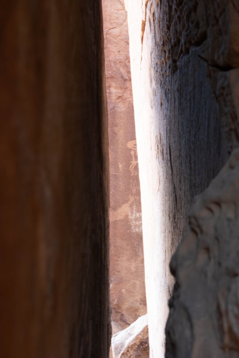
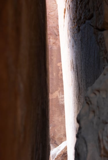
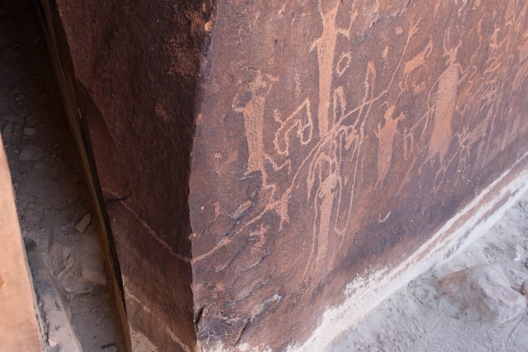
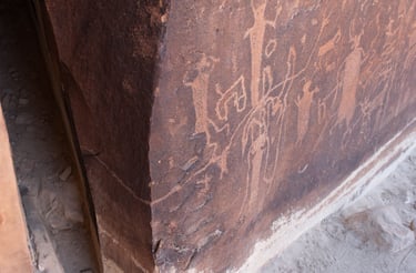
The same glyph as seen from the backside of the main panel through a narrow gap in the rocks.
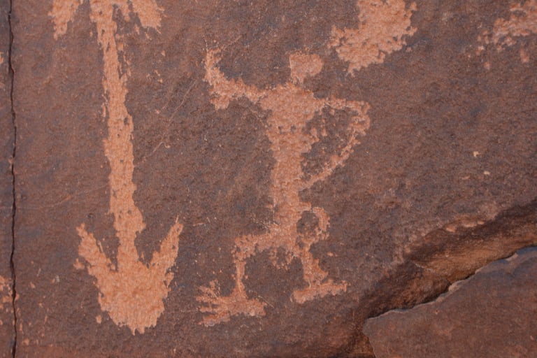
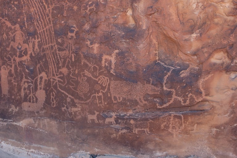
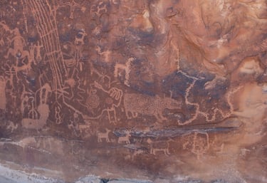
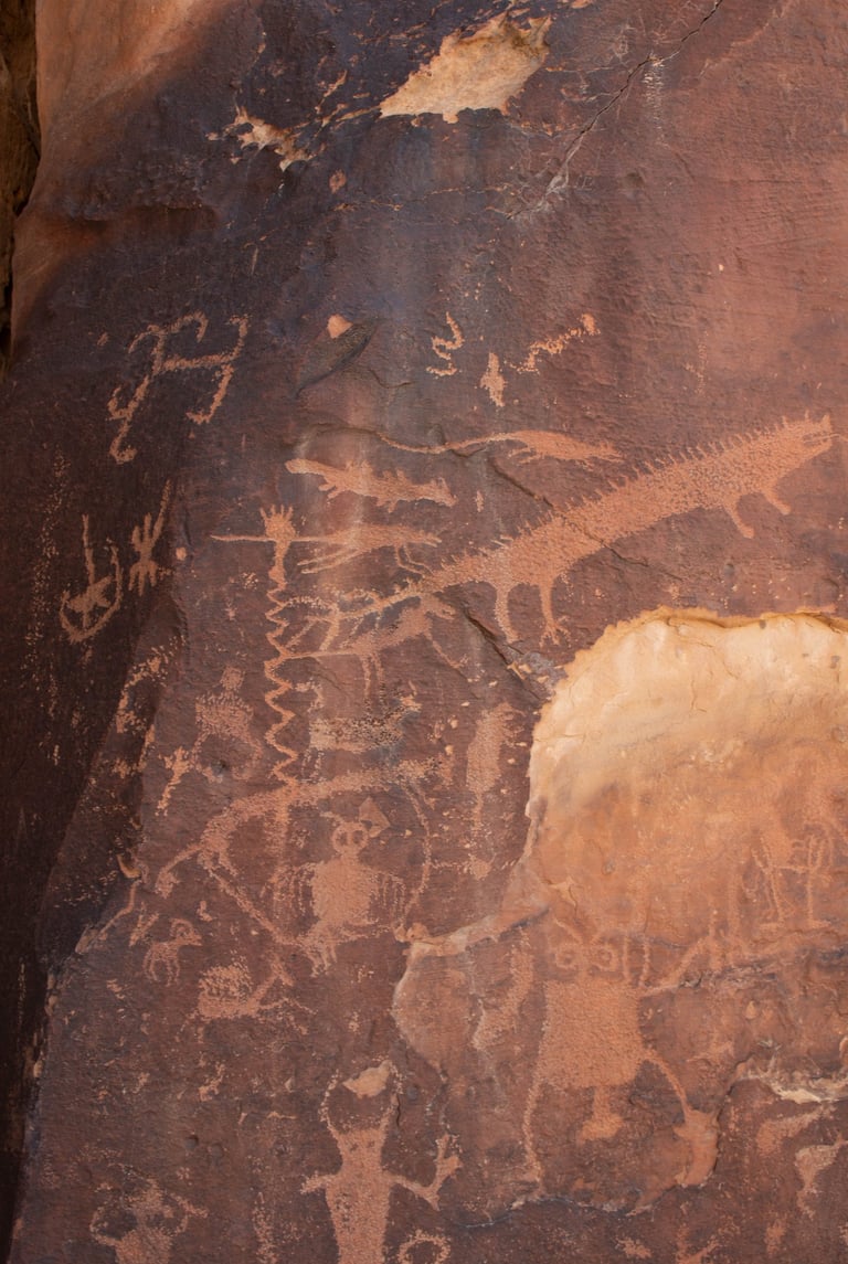
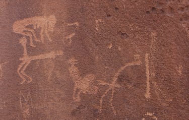
Two views of the other large panel.

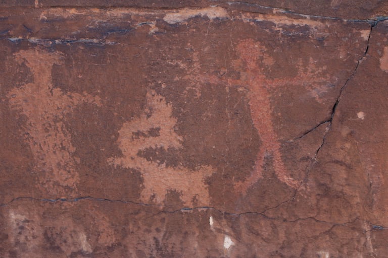
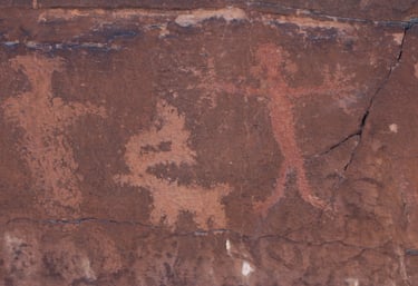
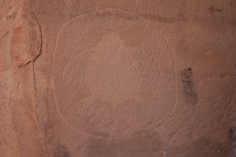
Of all the petroglyphs at this site, this is the only one colored red. It didn't look to us like it was a modern vandalism.
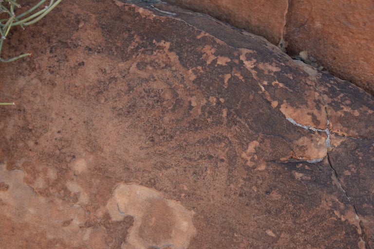
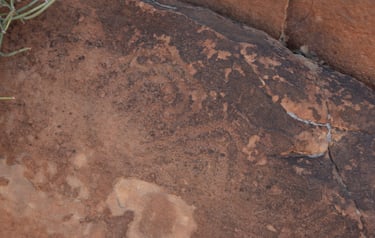
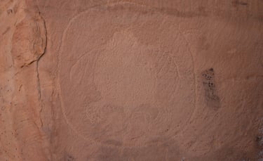
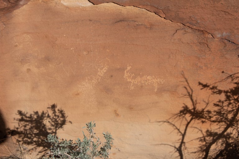
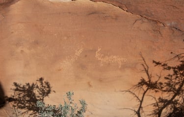
This was close to the ground at the base of the panels. It looks much older than everything around it.
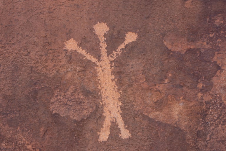
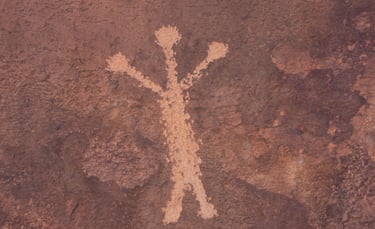
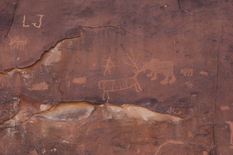
These were on the backside of the main panel.