Moab Golf Course
The Moab Golf Course is between downtown Moab and Spanish Valley. Drive south out of Moab on Highway 191 until you see Spanish Trail Road. Take Spanish Trail until you get to the roundabout. Exit the roundabout on Westwater Road. Follow Westwater Road until you see the fence around the boulder.
The Coordinates are:
UTM: 632535, 4266571
Decimal degrees: 38.53768, -109.47931
Lat/Long: 38° 32' 15.66", 109° 28' 45.52"
Maps:
1:100,000: Moab
1:24,000: Rill Creek
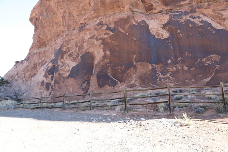

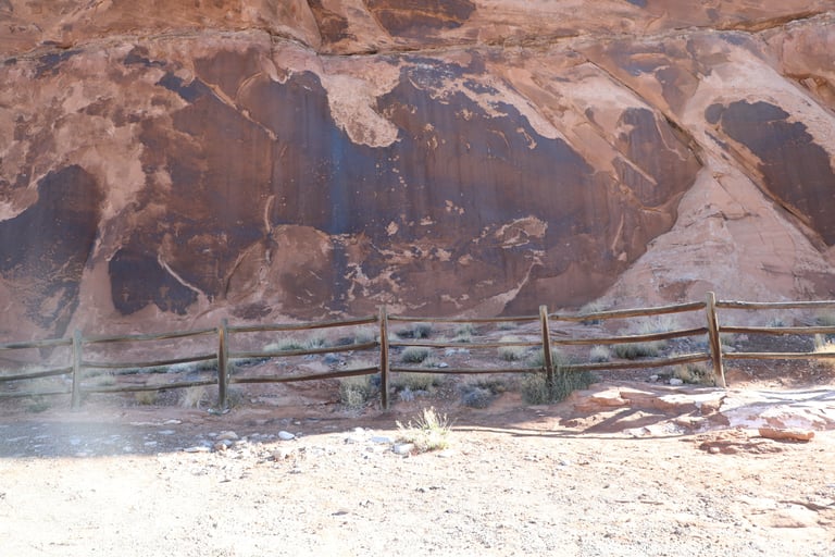

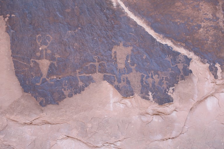


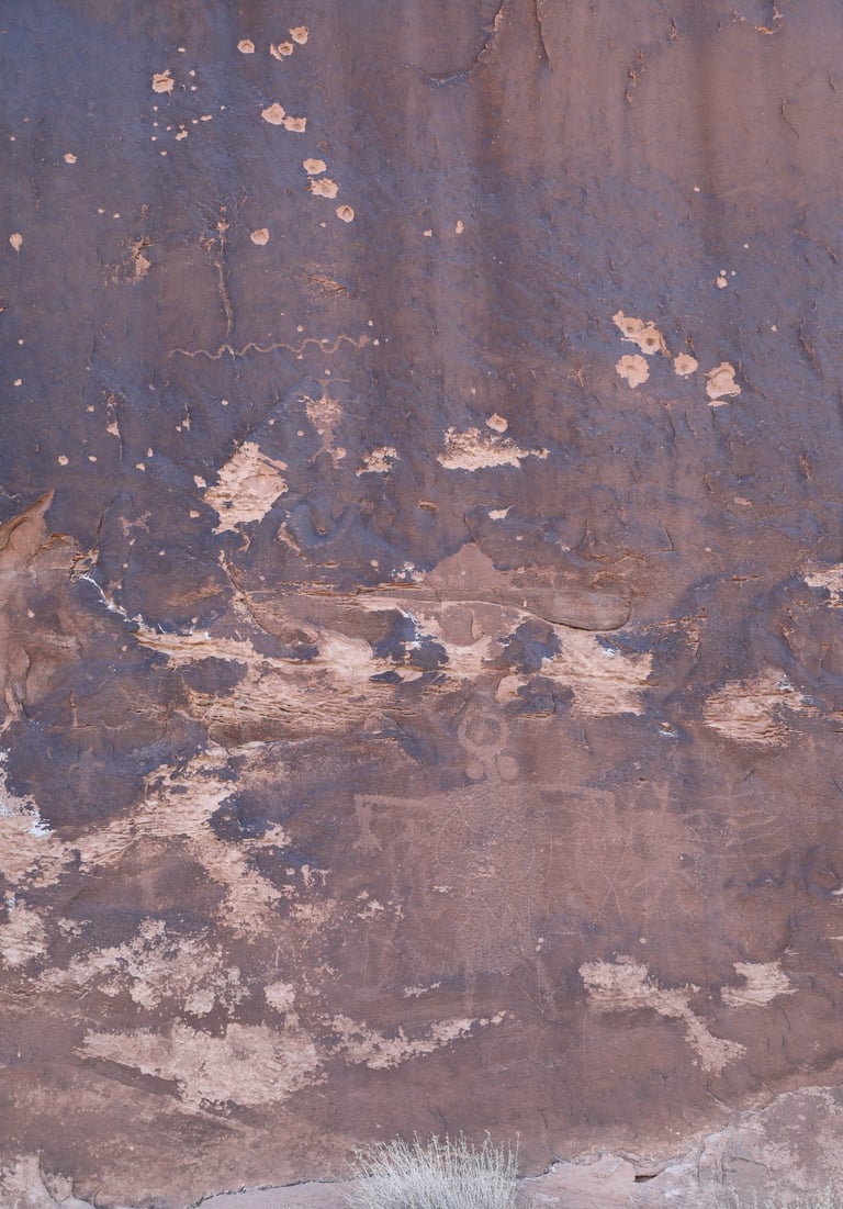

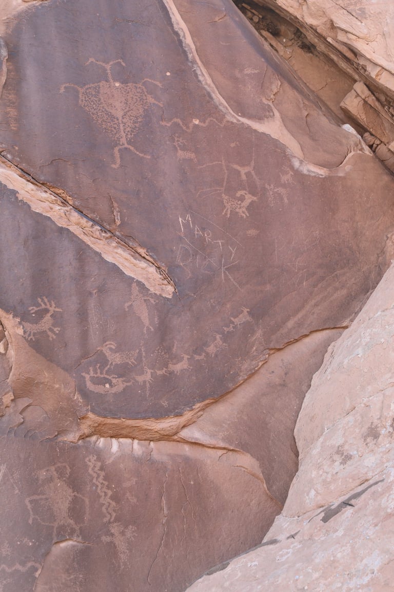

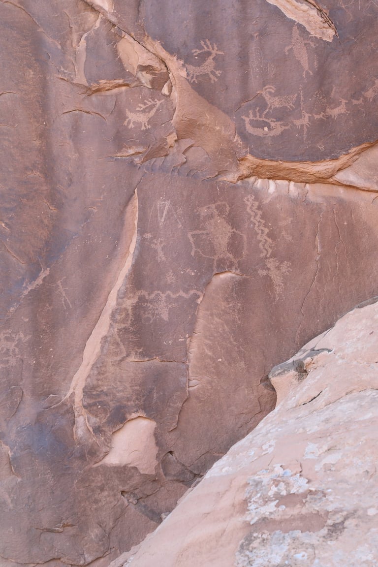

The figure on the far left is known colloquially as Moab Man. Castleton v. 2 p. 195; Slifer p. 103.
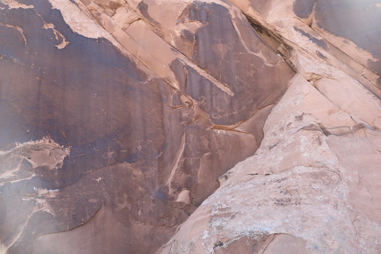

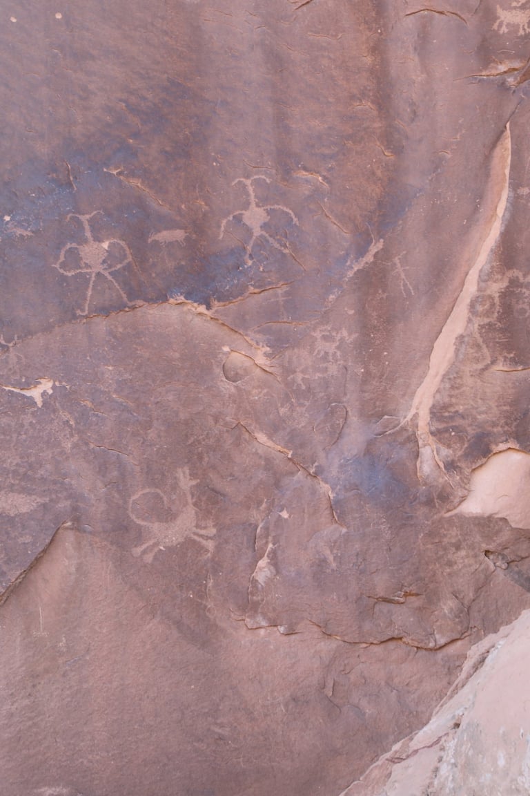

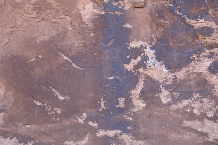
The next three are closeups of the one above.
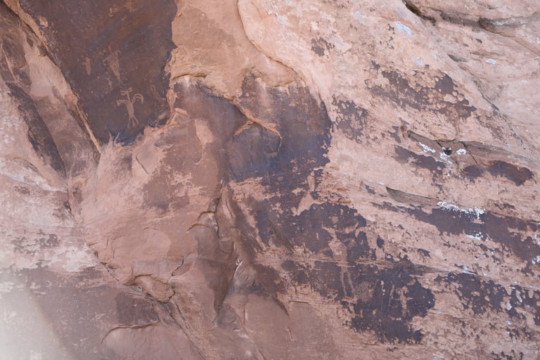

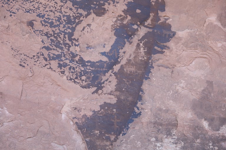

There are some very faint figures throughout the photo, scattered in the dark patina.
Castleton has a photo with at least seven figures that he reports is from this boulder that we couldn't find. Perhaps it has broken off. Castleton v.2 p.196.
Castleton discusses the animal with the curled tail, straight ears, that appears to be leaping. Castleton v.2 p.197. It appears very similar to one in Nine Mile Canyon at the Coyote Placing the Stars Panel, third photo.
