Jones Hole
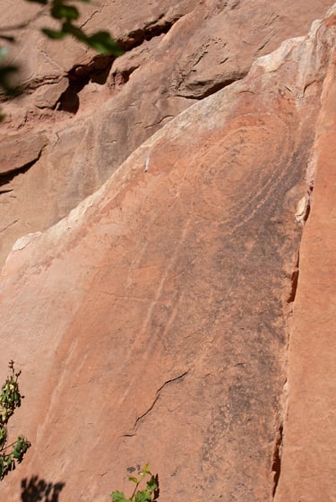
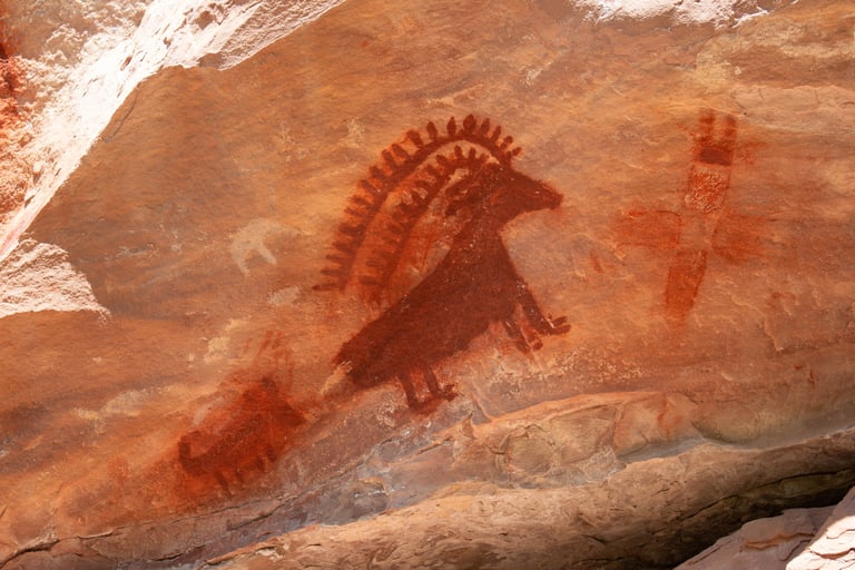
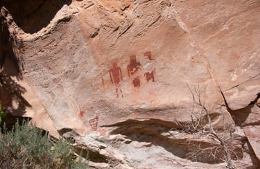
The Jones Hole Trail begins at the Jones Hole National Fish Hatchery and continues until reaching the Green River approximately 3.6 miles later. The first half-mile is located on Forest Service land; the rest of the trail is on National Park Service Land in Dinosaur National Monument. Along the trail, several side trails lead to both pictographs and petroglyphs, including the Deluge Shelter Petroglyphs site. Castleton says the site consists "solely of pictographs," but we found many petroglyphs. Castleton, v.1, p.42.
Coordinate for the trailhead:
UTM: 664428, 4494774
Decimal Degrees: 40.58743, -109.05701
Lat/Long: 40º 35' 14.74", -109º 03' 25.23"
Coordinate for the Art:
UTM: 654537, 4492754
Decimal Degrees: 40.56922, -109.05624
Lat/Long: 40º 34' 9.2", -109º 03' 22.5"
Maps:
1:100,000 Dutch John
1:24:000 Jones Hole
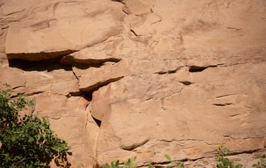
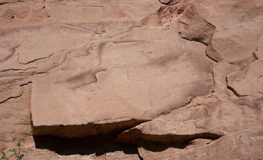
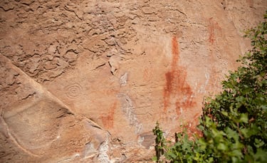
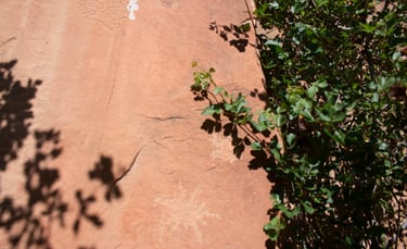
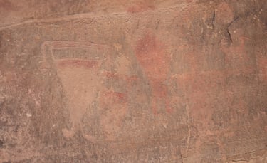
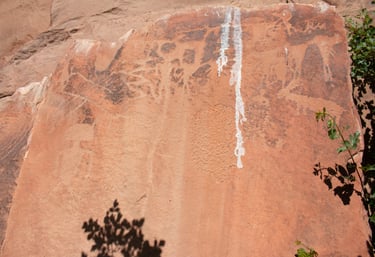
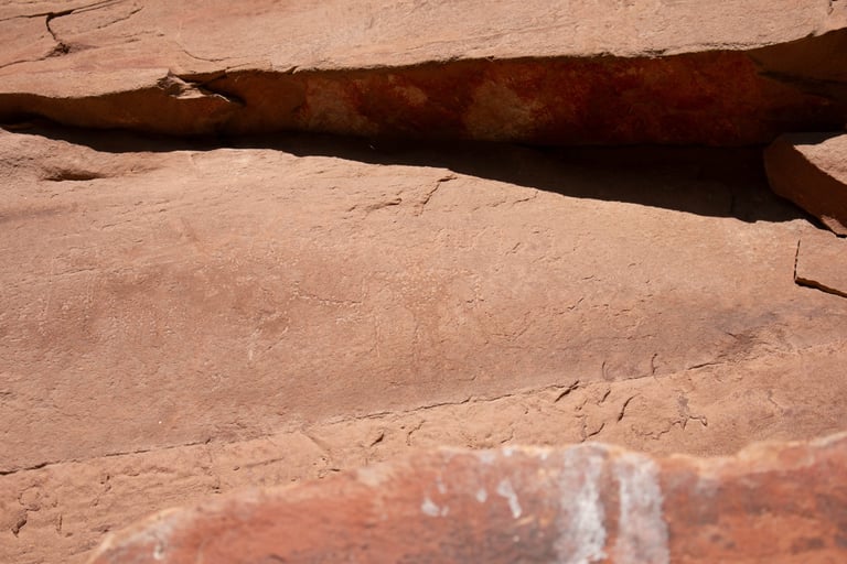
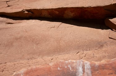
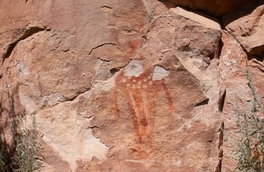
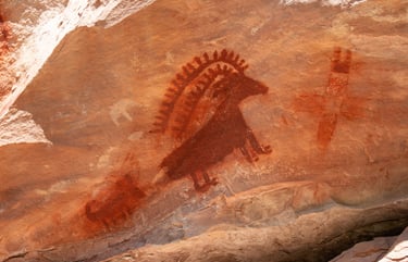
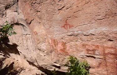
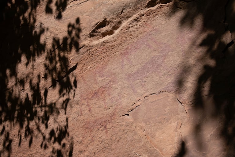
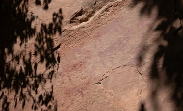
These two are close-ups of the previous one.
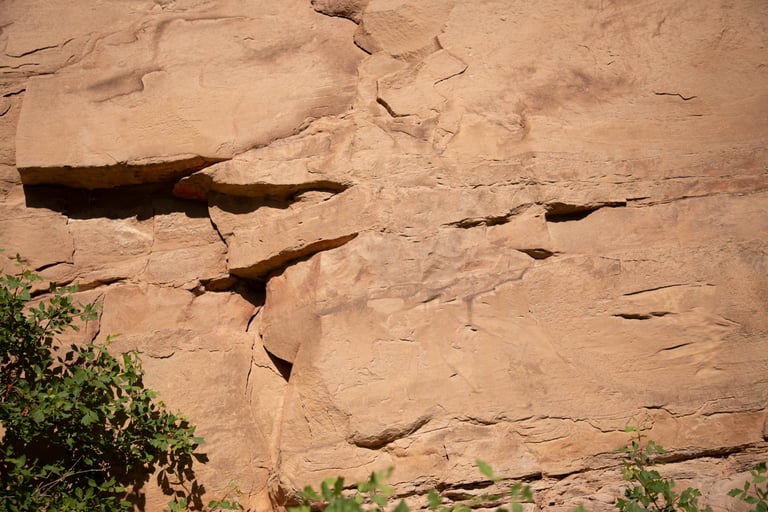
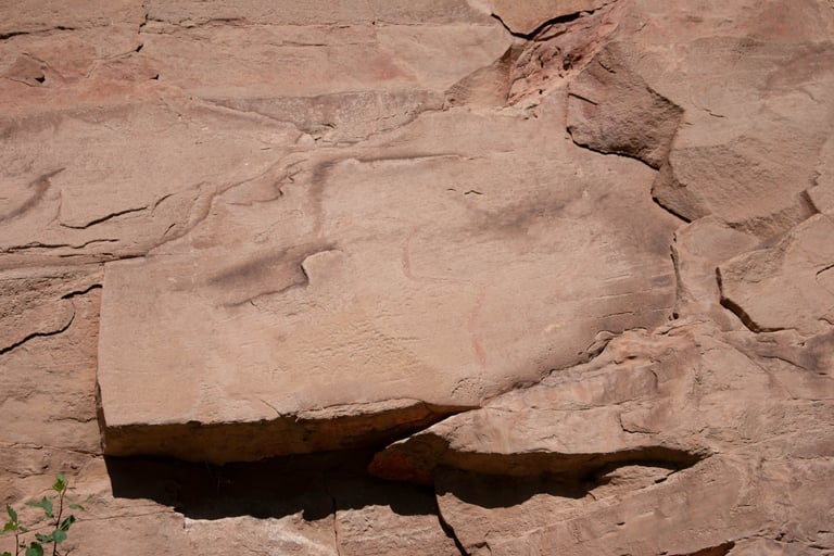
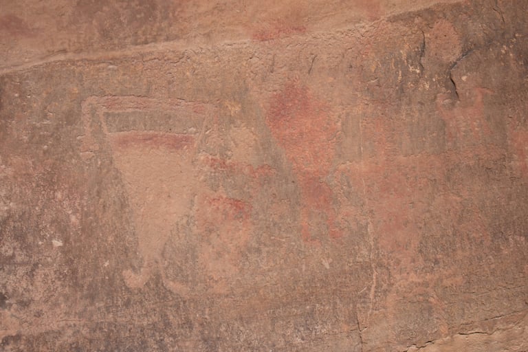
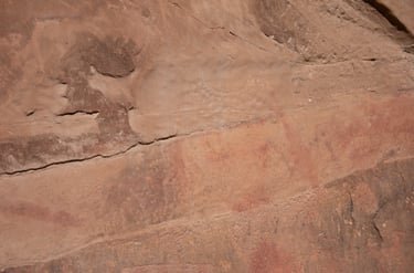
They are very difficult to see, but there is a figure center-bottom, and a red pictograph upper-right.
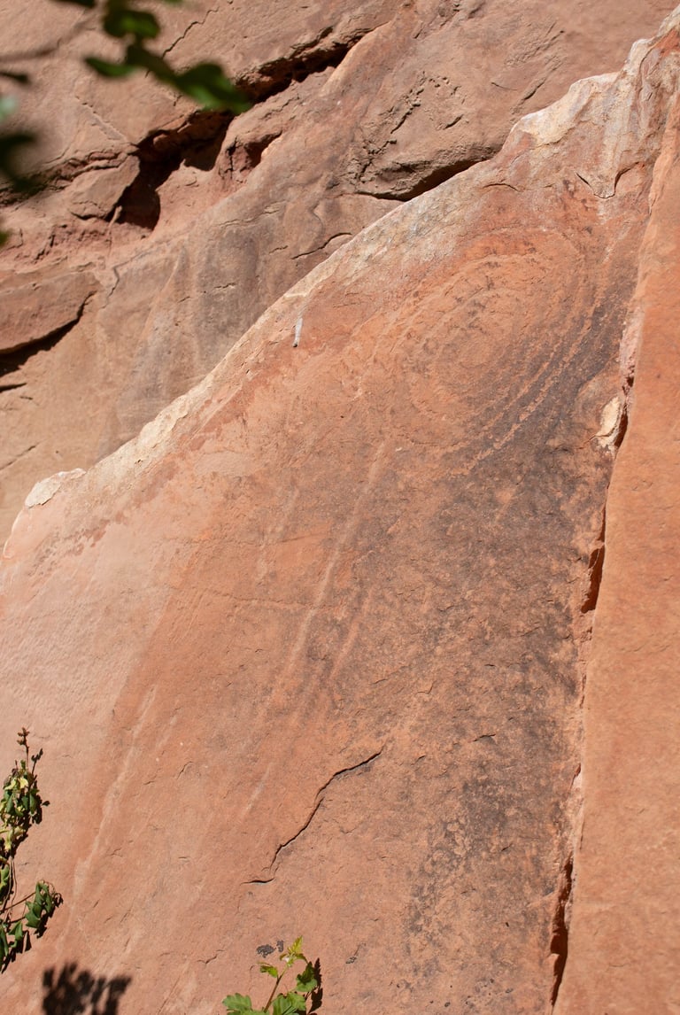
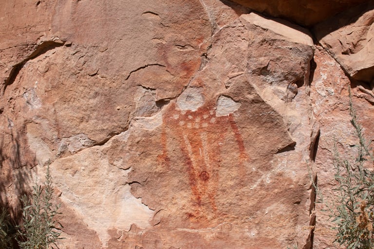
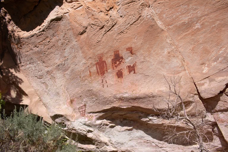
Under the animals are some interesting dot patterns.
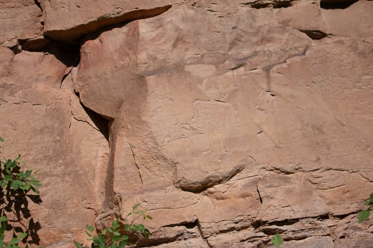
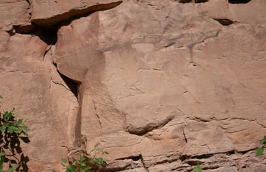
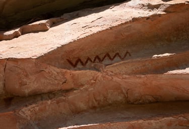
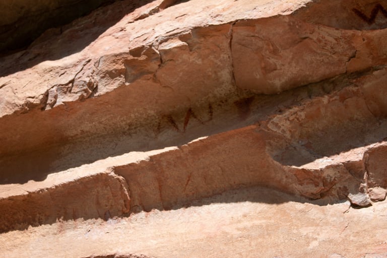
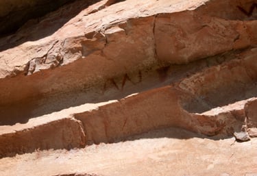
This one and the next two are close-ups of the previous one.

I'm guessing that, like many glyphs at McConkie Ranch, this was a necklace on a pictograph that has since washed away.
These three were all next to one another.
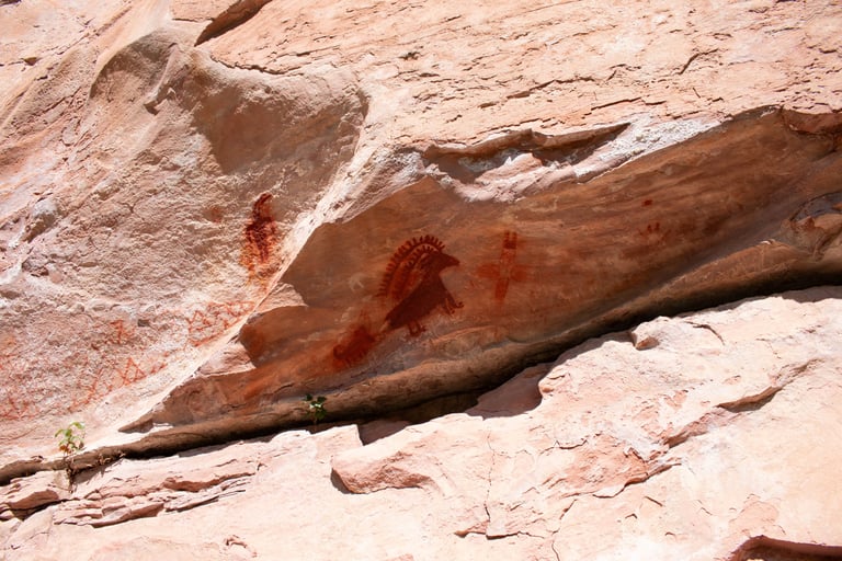
It is difficult to see, but the figure has extended, wavy arms and "antlers."
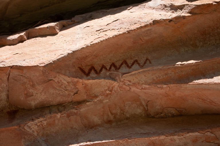

This was definitely intentional, but neither of us could figure out what it was supposed to be.
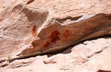
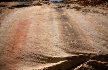
These two are close-ups of the previous photo.
Castleton, v.1, p.42.
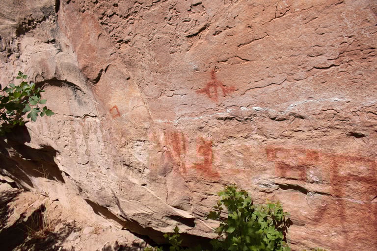

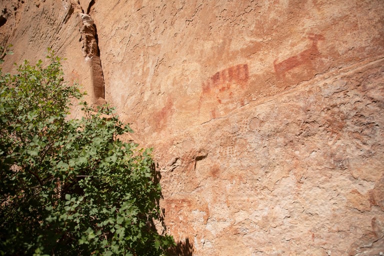
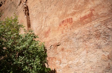
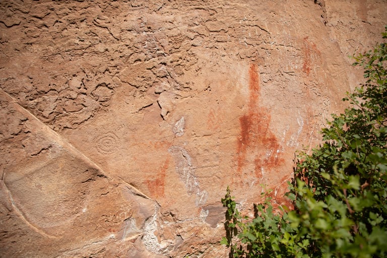
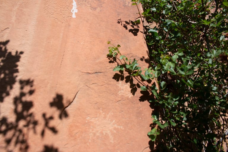
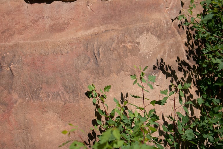
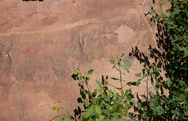
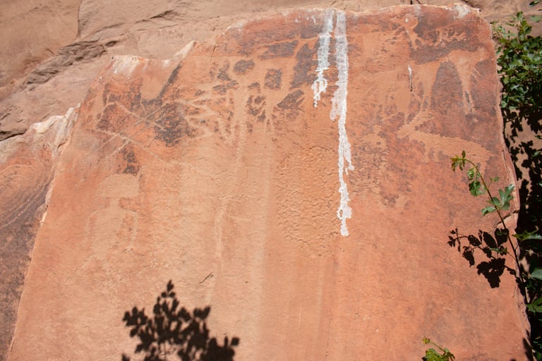
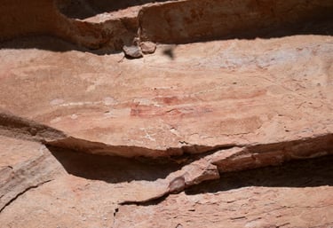
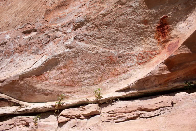
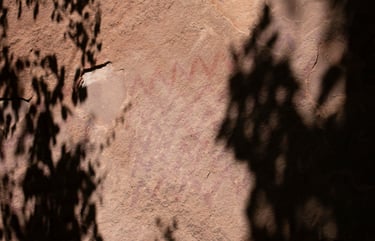
Some of the art was hard to photograph because of the vegetation. We couldn't get far enough away to photo this panel on one shot.
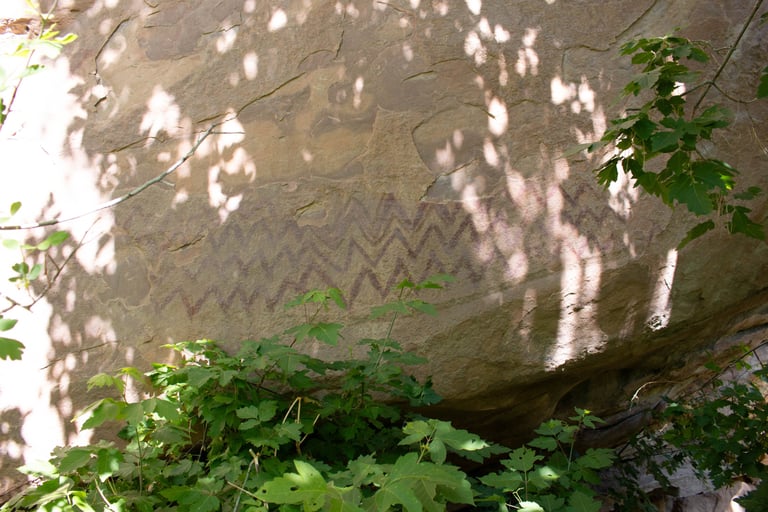
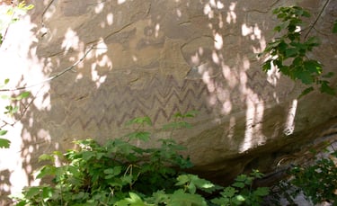
This and all of the following photos were in some really tough spots because of the shadows caused by the vegetation.
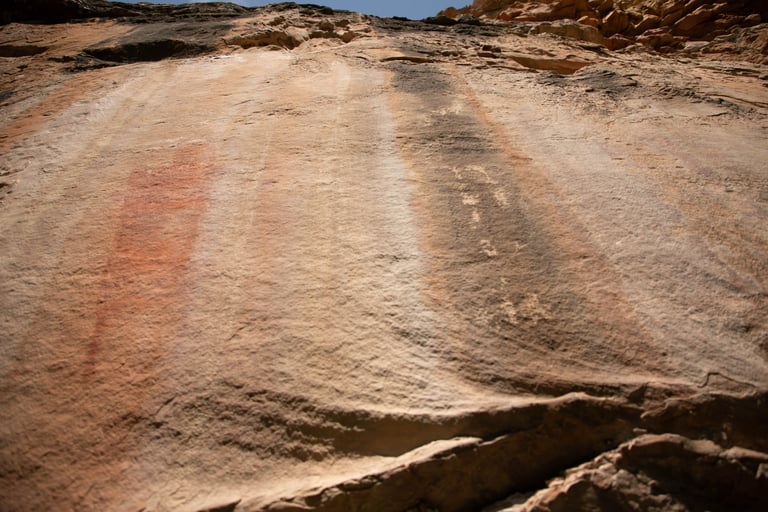
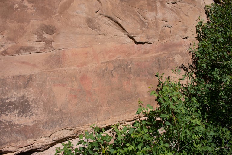
Castleton, v.1, p.43.
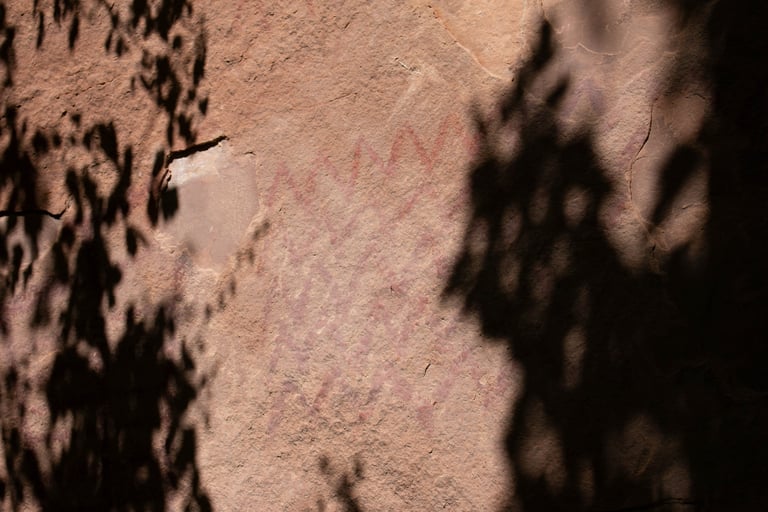
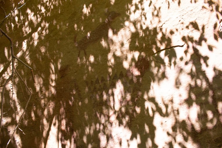

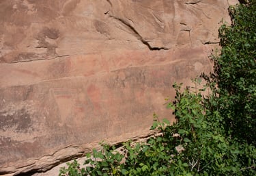
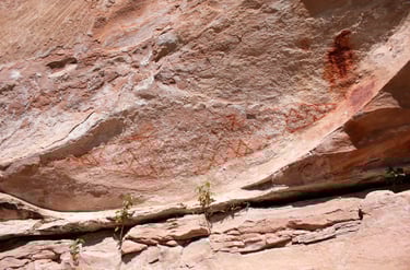
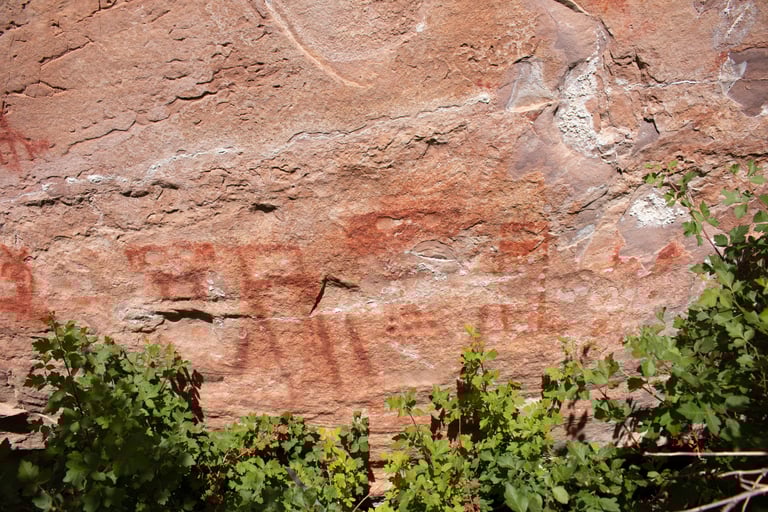
This one was particularly tough to shoot. Castleton, v.1, p.43.