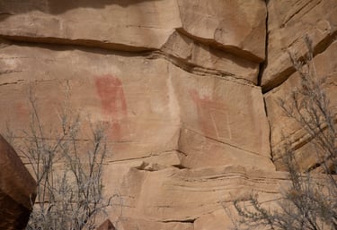
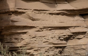
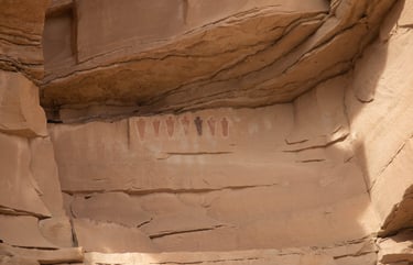
Ferron Box
The Ferron Box is a series of bends in Ferron Creek that nearly form a square or box. It is about five-and-a-half miles west of Ferron and requires a four-wheel-drive vehicle or someone willing to hike nearly two miles. There are several panels on the west cliff walls visible from the bottom of the gulch.
Approximate coordinates for the Box:
UTM: 497173, 4327202
Decimal Degrees: 39.09394, -111.03269
Lat/Long: 39º 5' 38.2", 111º 1' 57.7"
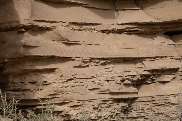
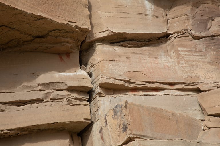
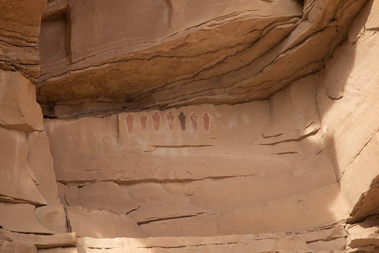
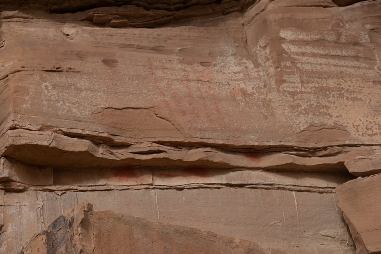
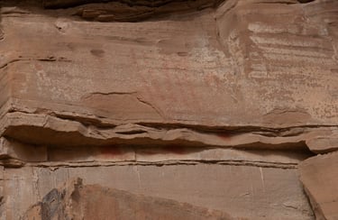
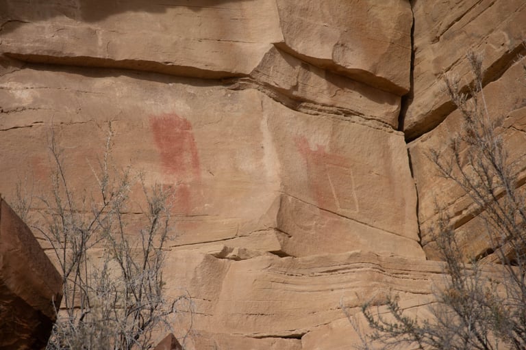
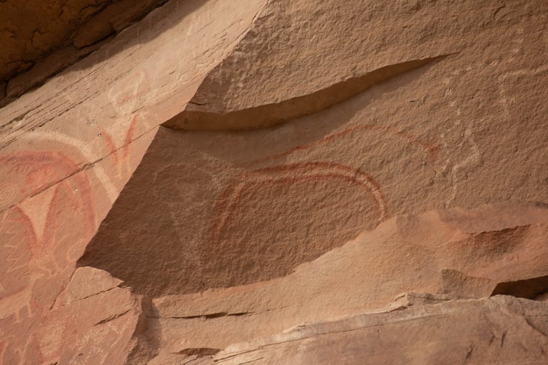
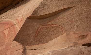
Why is one a different color? Schaafsma p. 44.
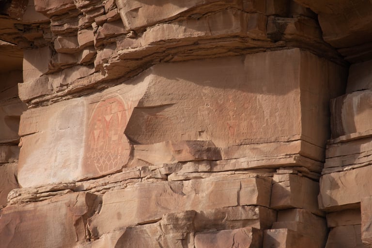
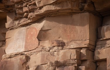
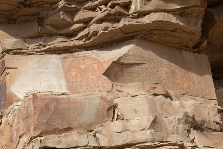
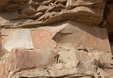
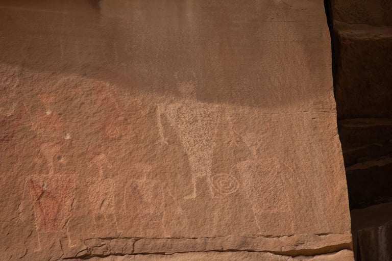
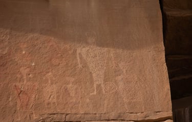
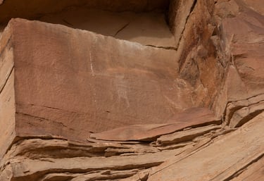
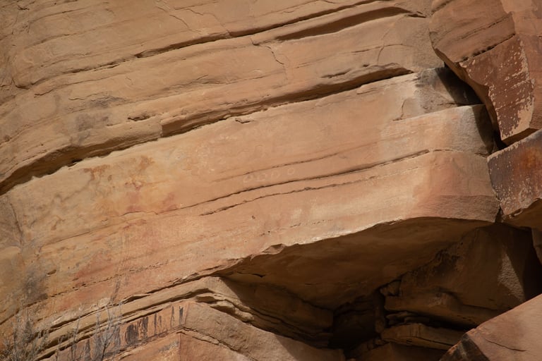
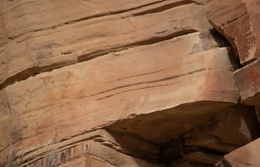
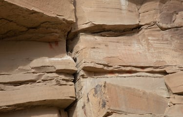
This photo and the following four are of the same panel.
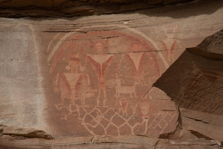
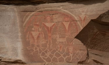
Castleton, v.1, p.115.