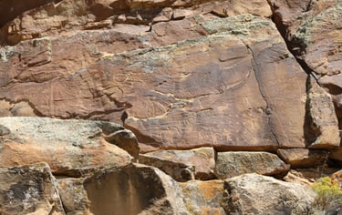
Cow Canyon to Sheep Canyon
The photographs in this section are found between Cow and Sheep Canyons. None require walking more than a few feet off the road, and most are easily seen from the side of the road. That said, if there wasn't anything indicating that they were on private property, we often got a bit close for a better photo.
Coordinates to Cow Canyon:
UTM: 546685, 4402980
Decimal Degrees: 39.77548, -110.45486
Lat/Long: 39º 46' 31.72", -110º 27' 17.49"
Coordinate for Sheep Canyon:
UTM: 553550, 4406298
Decimal Degrees: 39.80497, -110.37443
Lat/Long: 39º 46' 17.89", -110º 22' 27.94"
Maps:
1:100,000 Price
1:24:000 Wood Canyon & Current Canyon
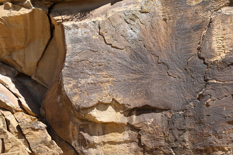

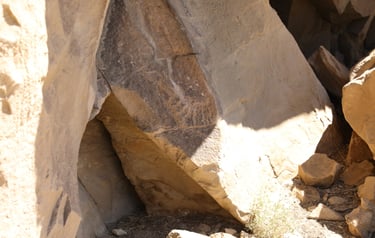
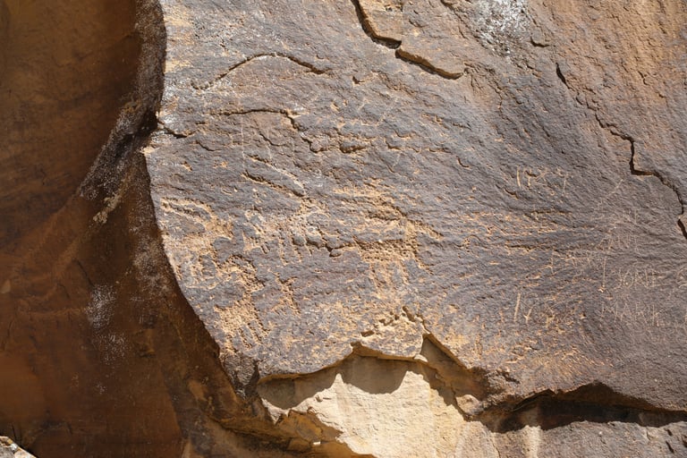
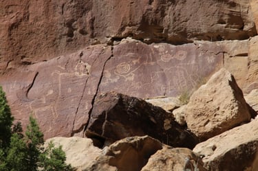
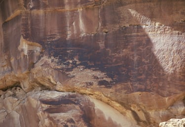
Slifer p.181.
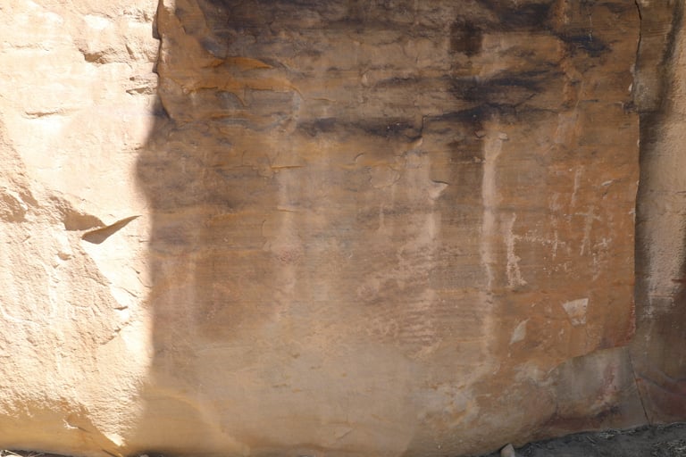

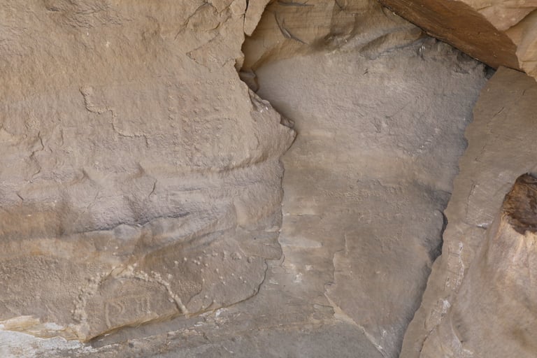
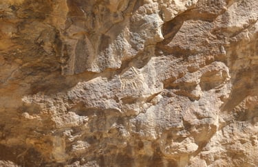
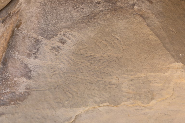
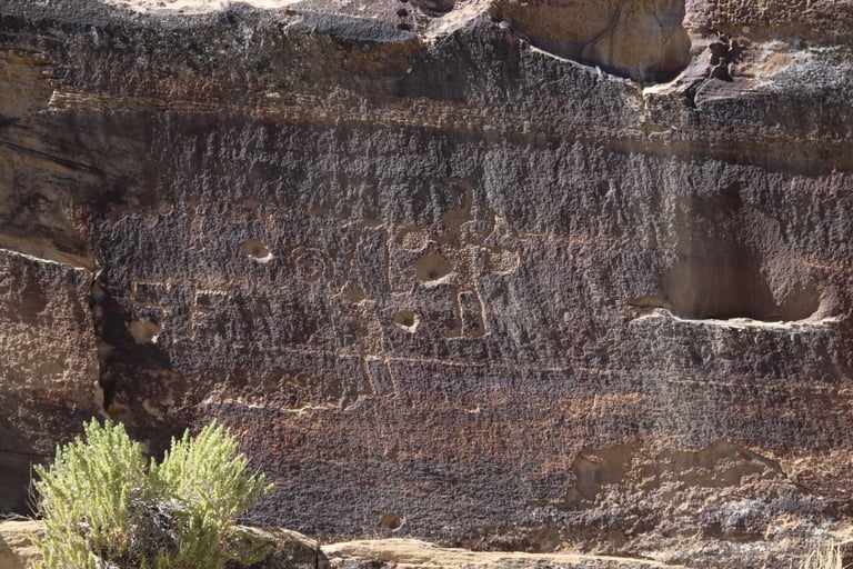
Slifer p.181.
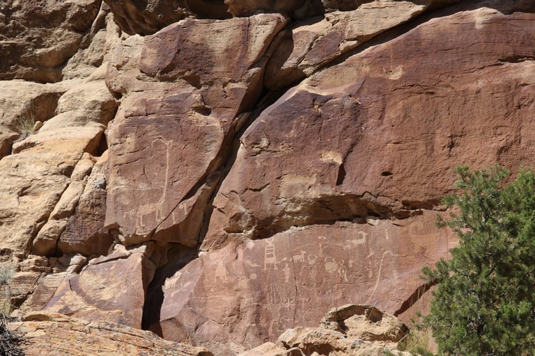
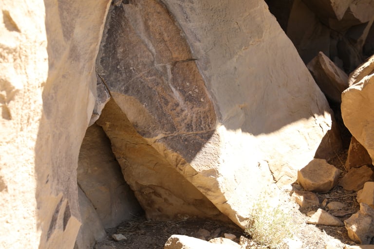
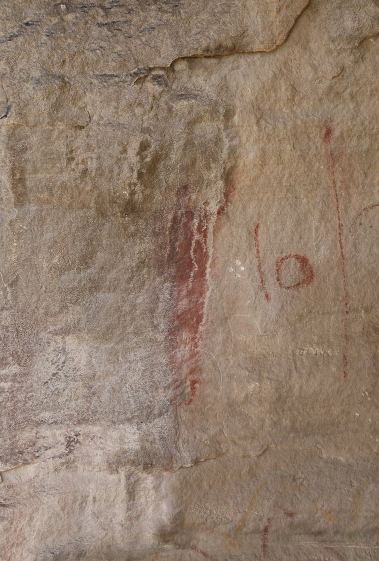
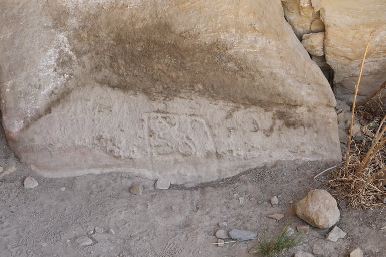
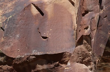
Maybe bullet holes, but they're in such a perfectly straight line.
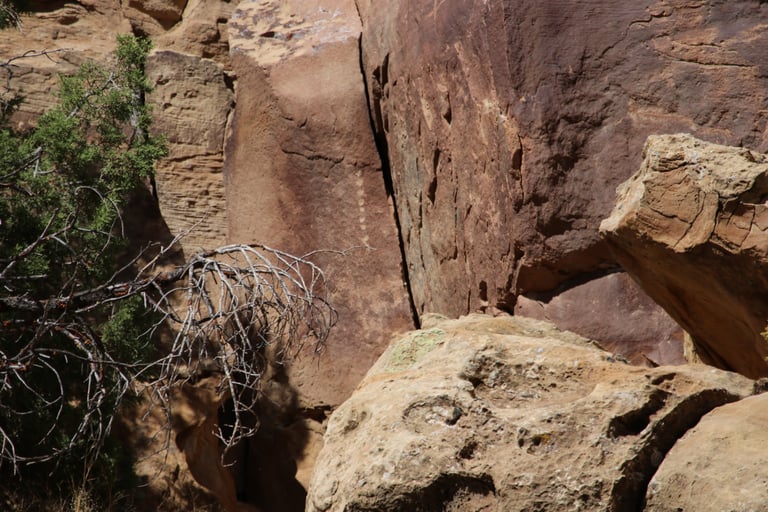

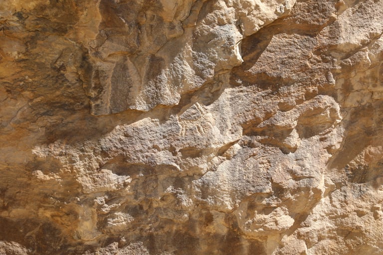
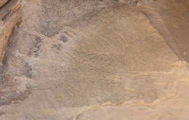
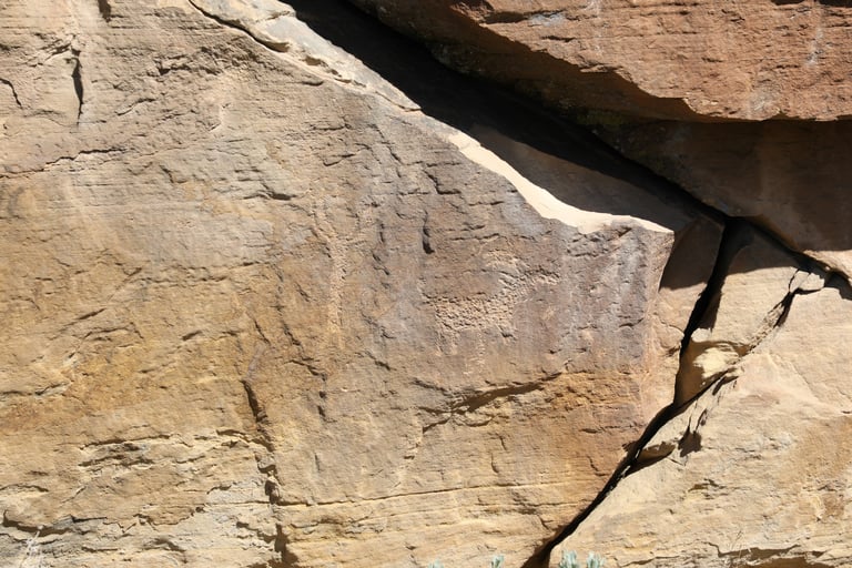
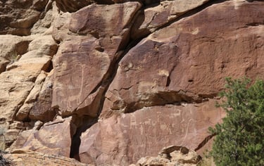
Slifer p.181.
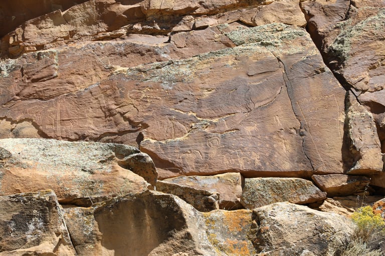
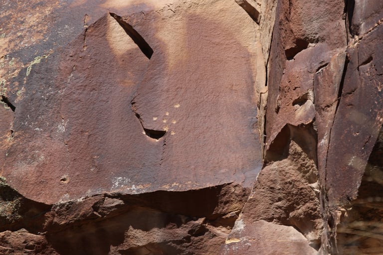
These are probably bullet holes, but you never know.
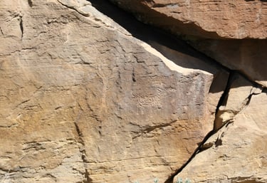
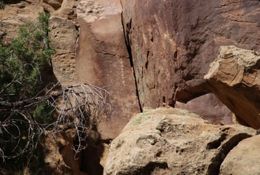
Slifer p.181.
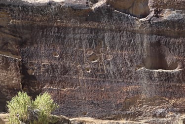
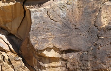
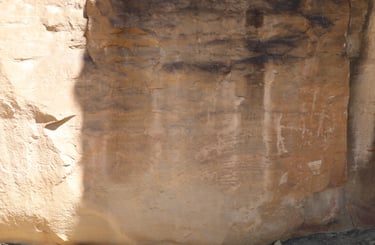
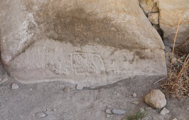
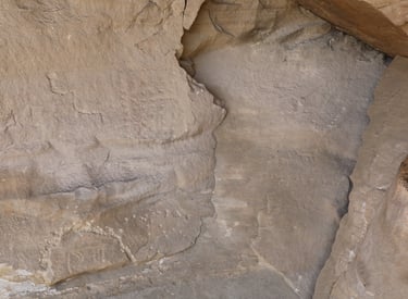
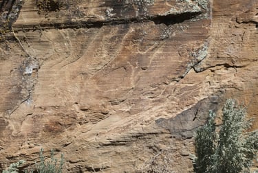
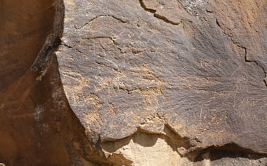
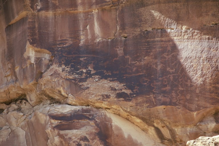
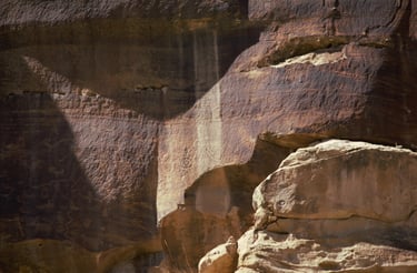
These two are closeups of the one above them
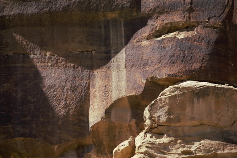
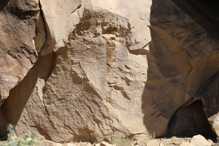
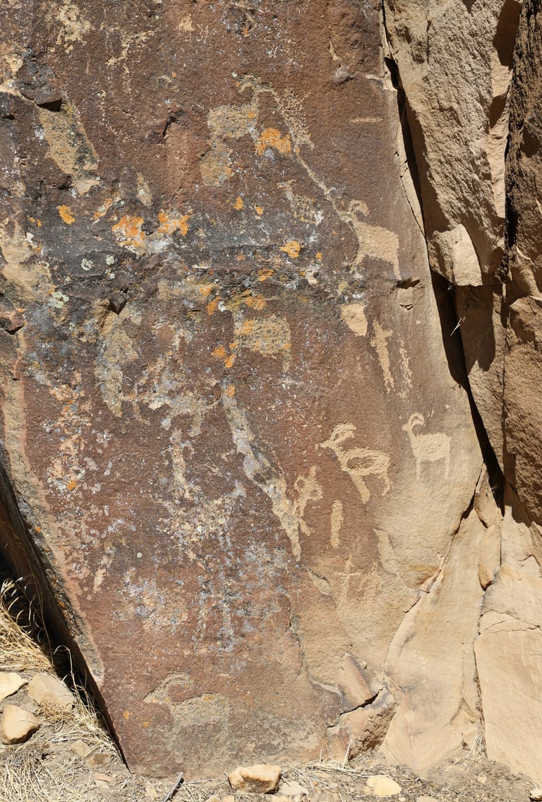
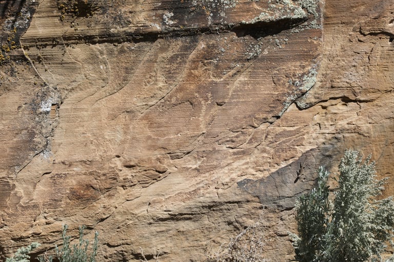
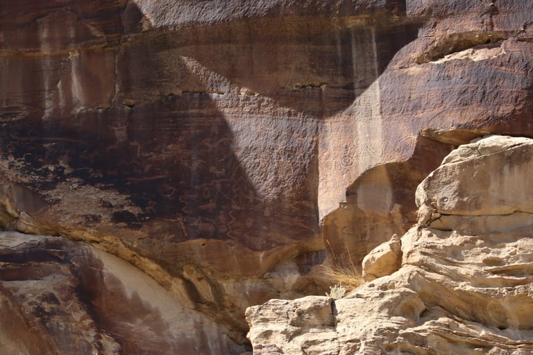
In the upper-right, where the shadow meets the sunlit area, there is what looks like the "back-to-back" or "double-headed" sheep that we've seen in Poison Spider and other areas of Moab.