The Tukupetsi Trail
There are several trails in this area, and it’s easy to confuse them. Many of the adventure/hiking websites confuse the names. A few I’ve seen follow the Tukupetsi Trail and continue on the Enepitsi Trail, calling both by the same name.
The Tukupetsi Trail closely follows the north bank of the Santa Clara River for about 1.5 miles before crossing to the south side.
The Anasazi Trail follows the Santa Clara River but is not beside it. The parking lot for the Anasazi Trailhead is about 2.5 miles northwest of the Tukupetsi Trailhead and ends at the parking lot for the Tukupetsi Trailhead. There are petroglyphs on this trail as well.
The Enepitsi (Ghost) Trail further complicates the issue. We haven’t been on this trail, but it also runs along the Santa Clara River, beginning about 1.5 from the Tukupetsi trailhead. The BLM gives the coordinates for the Enepitsi Trail as UTM: 260386, 4114006; Decimal Degrees: 37.1417575, -113.6977558. The BLM website states that one uses the Tukupetsi Trail to reach the Enepitsi Trail.
Castleton refers to this site as Santa Clara River. Castleton v2, p.140.
Coordinates for the trailhead
UTM: 262681, -113.67171
Decimal Degrees: 37.135436, -113.67171
Lat/Long: 37° 08' 7.60", 113° 40' 18.15"
Maps:
1:100,000 St. George
1:24,000 Santa Clara
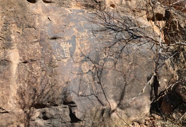
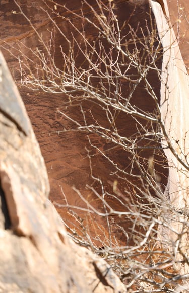
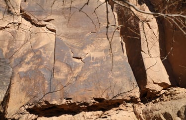
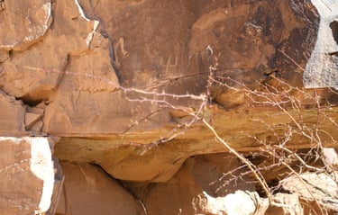
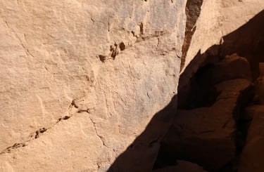
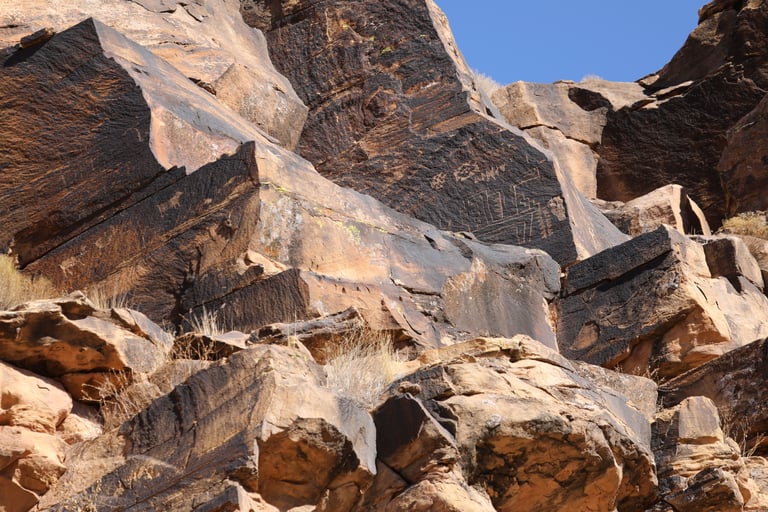
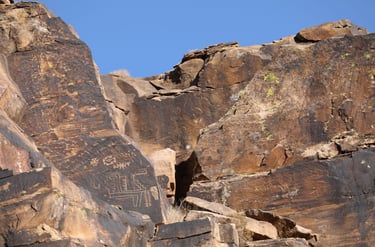
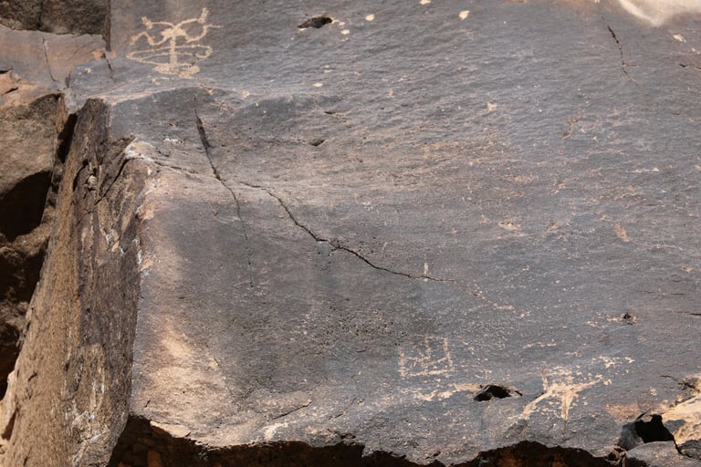
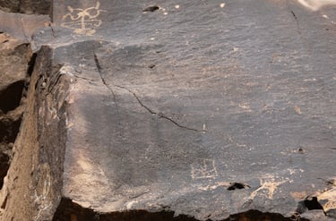
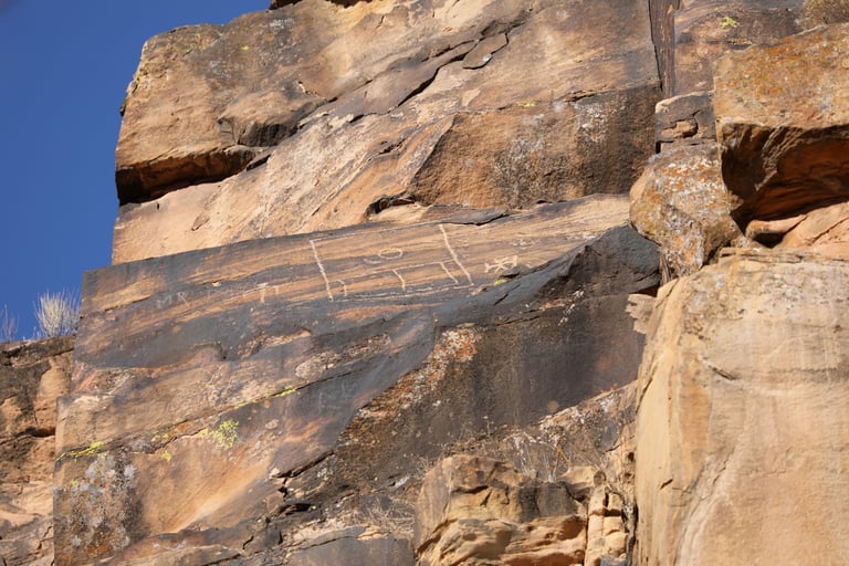
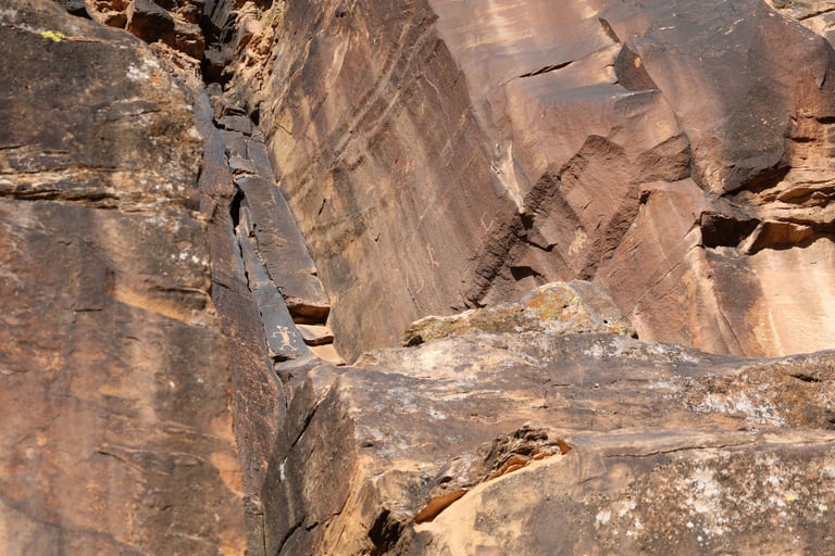
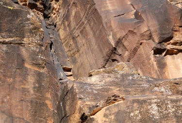
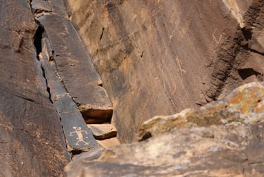
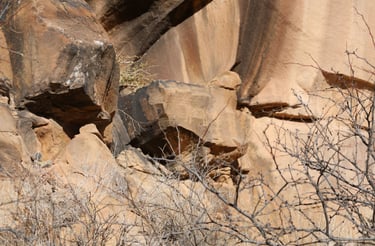
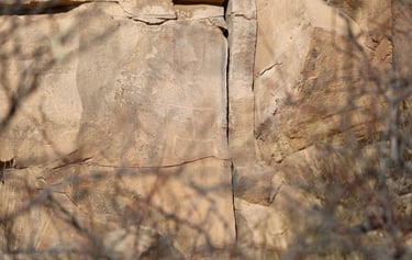
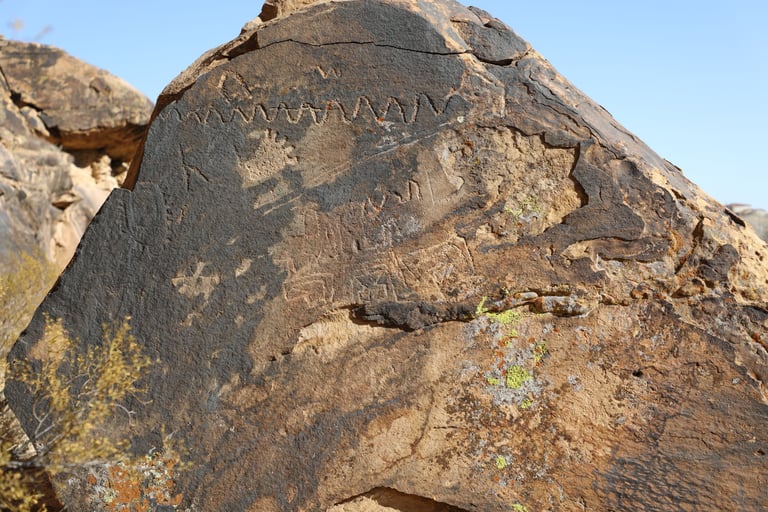
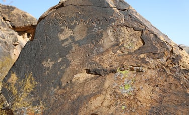
The angle of the sun often helps, or hinders, seeing glyphs with a patina that is as dark as the surrounding rock.

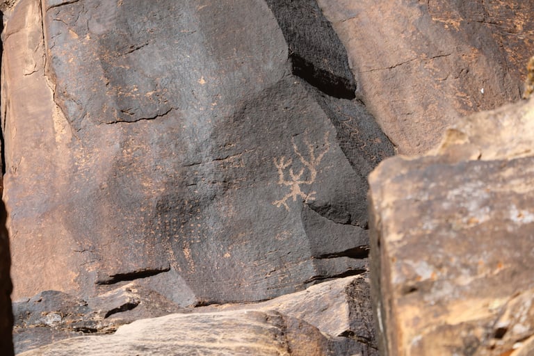
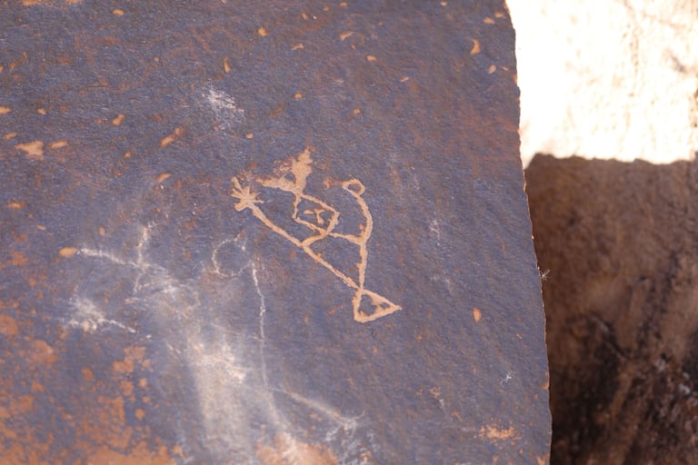
There is a single figure in the center of the frame.
I really like these stylized figures.

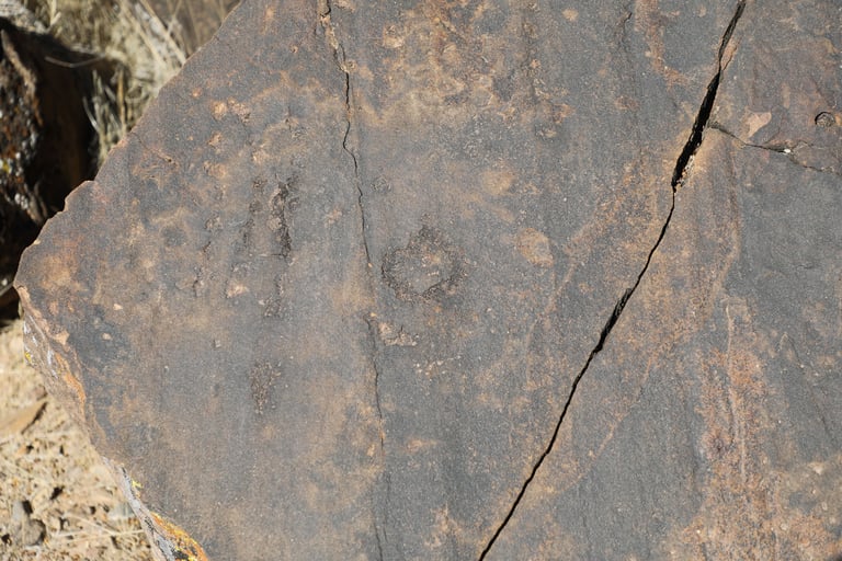
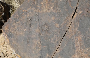
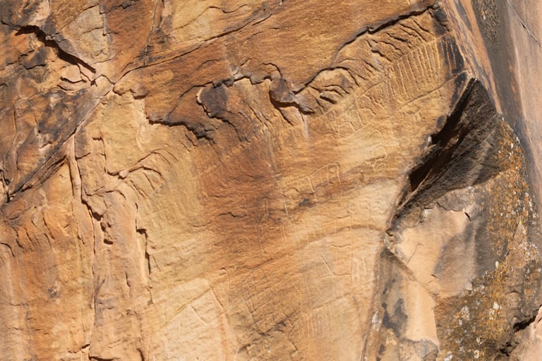
This glyph shows the need for binoculars or a telephoto lens.
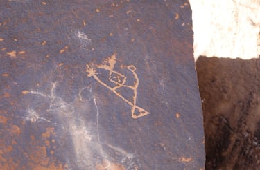
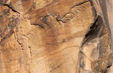
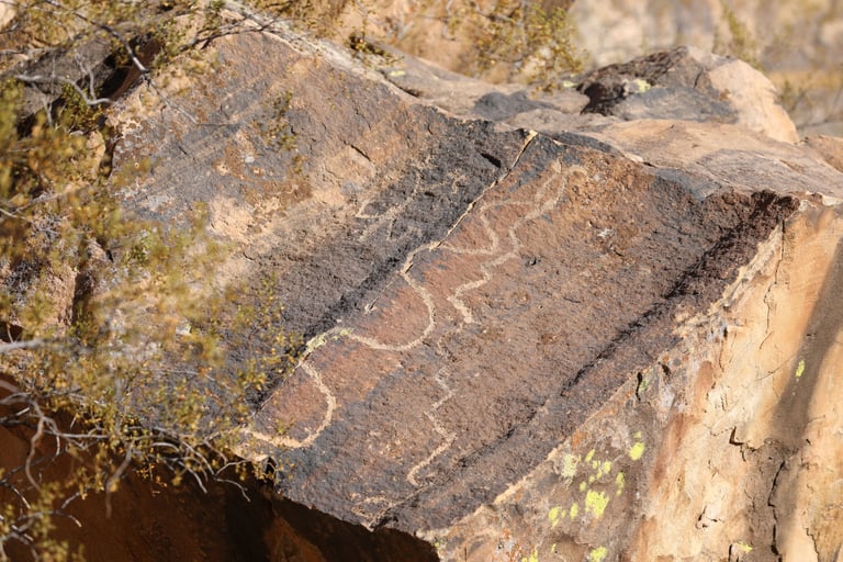
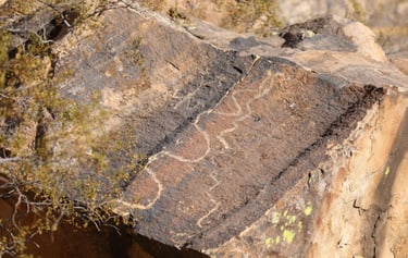
A close-up of the previous photo. The dots and snake were visible from the trail, but I couldn't see any detail. I could only tell that there was something there. This was the only time we saw dots in a square pattern.
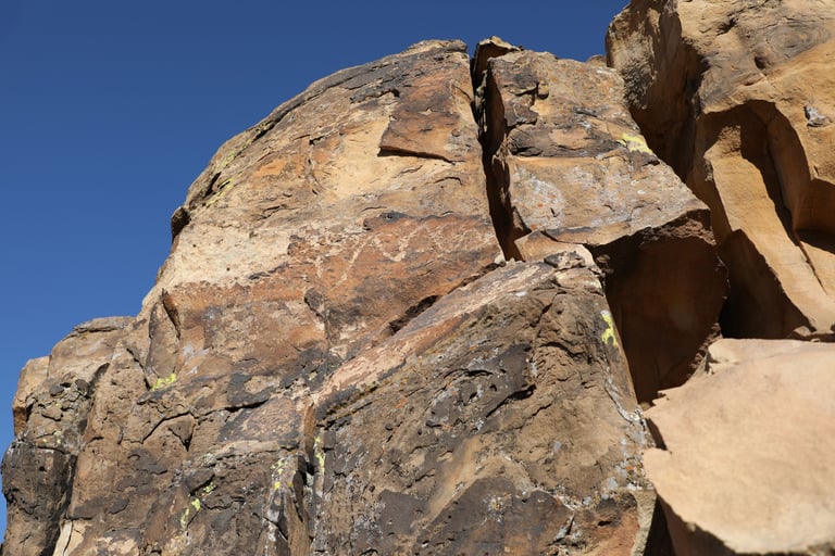
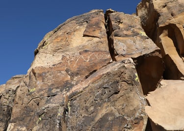
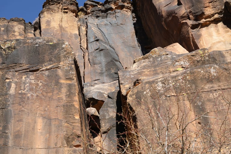
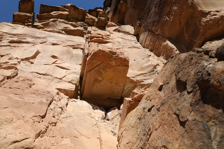
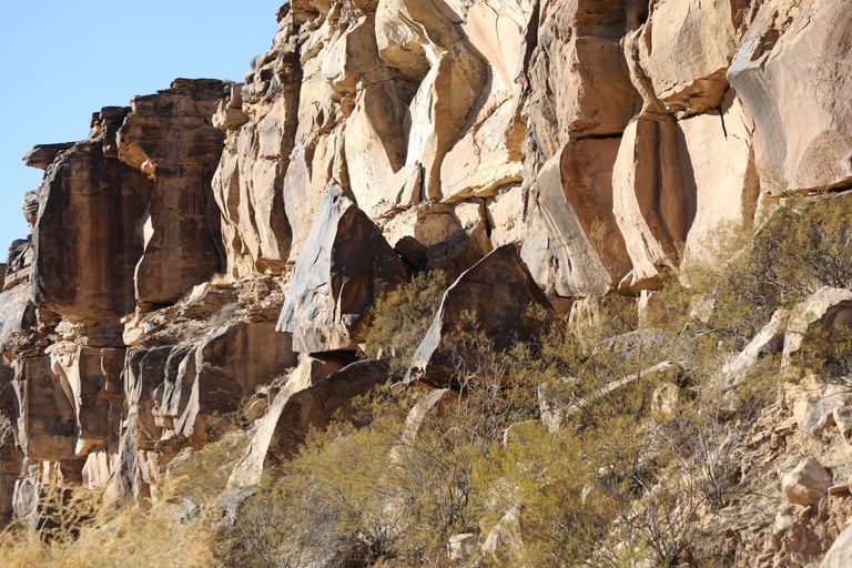
I often wonder how the artist got to some of the places. There is nowhere to stand unless on a ladder.
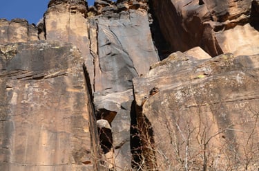
Just above the dark rock in the center of the frame is a glyph that looks like an "M."
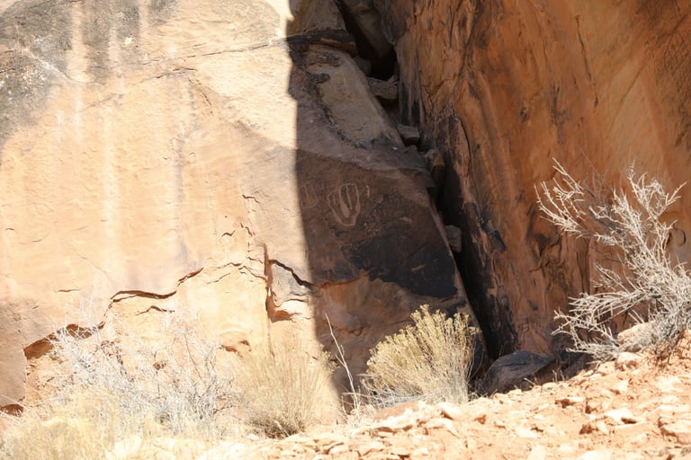
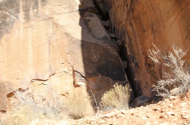
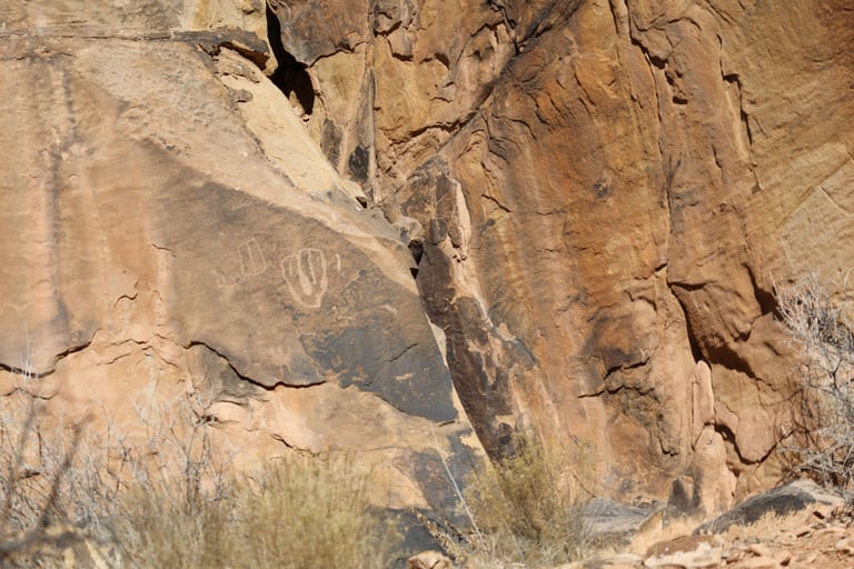
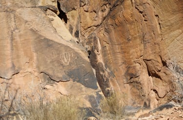
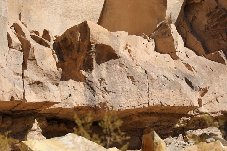
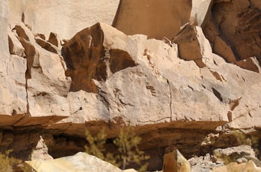
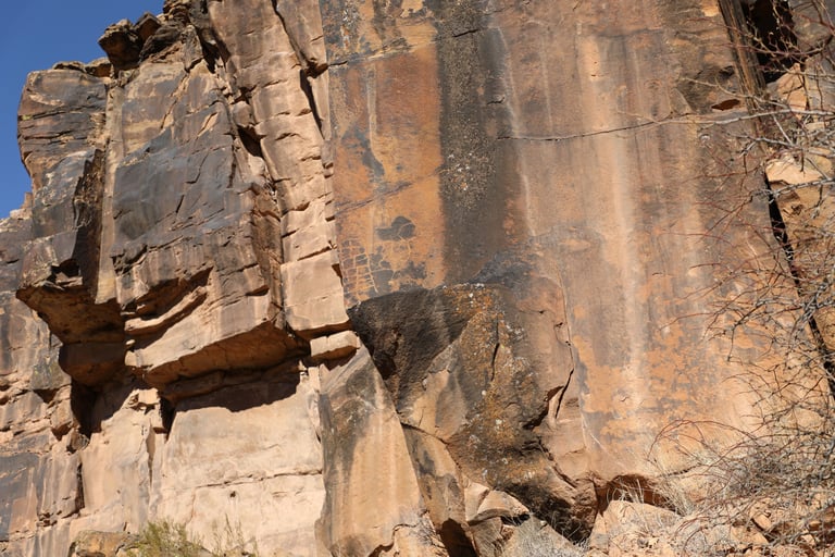
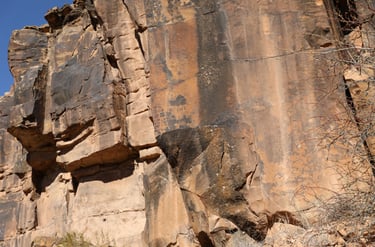
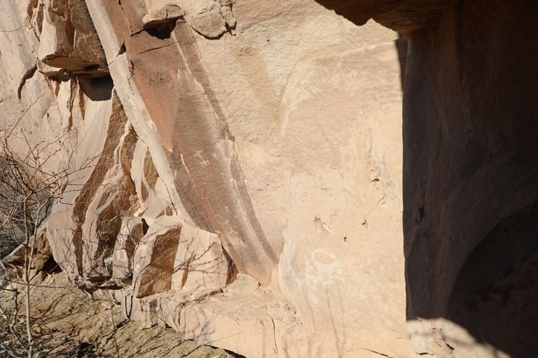
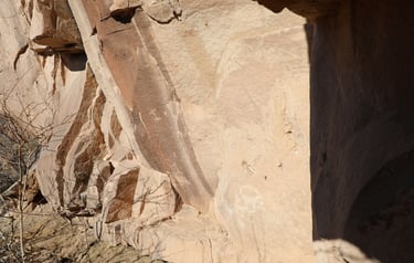
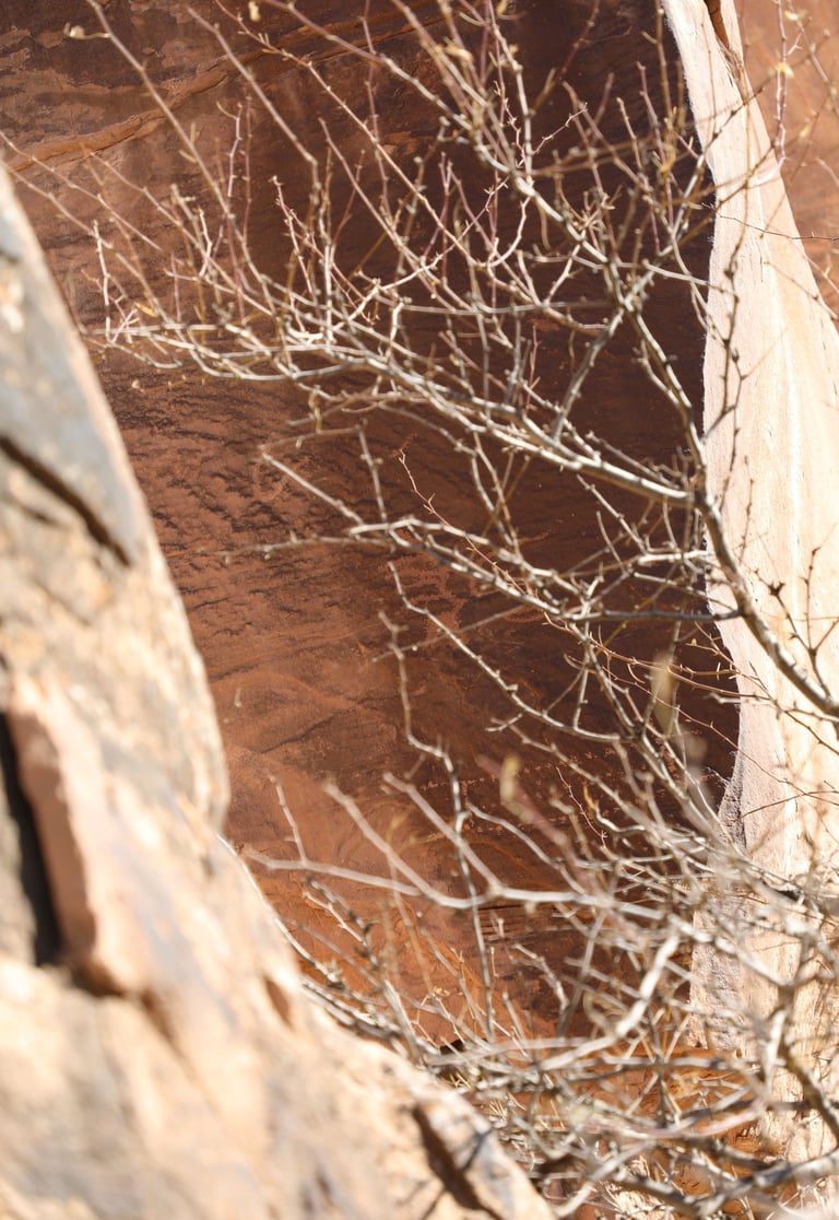
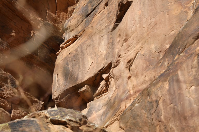
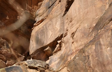
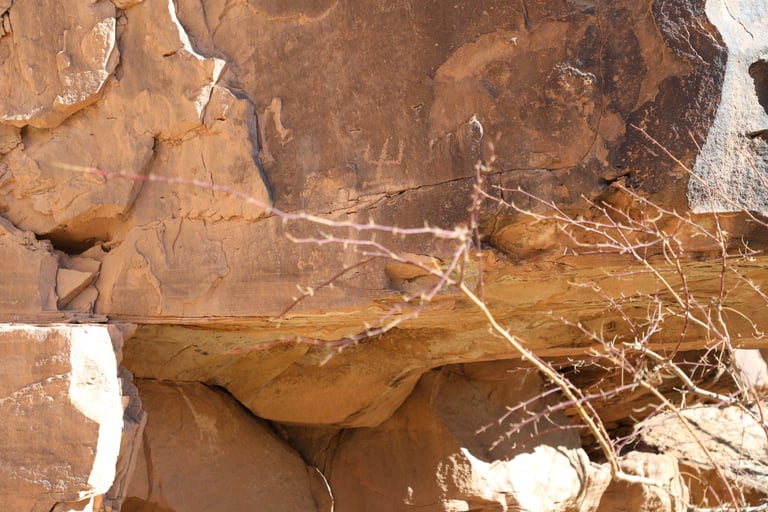
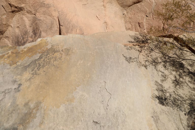
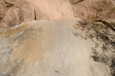
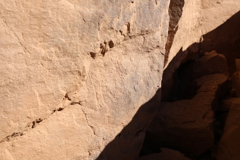
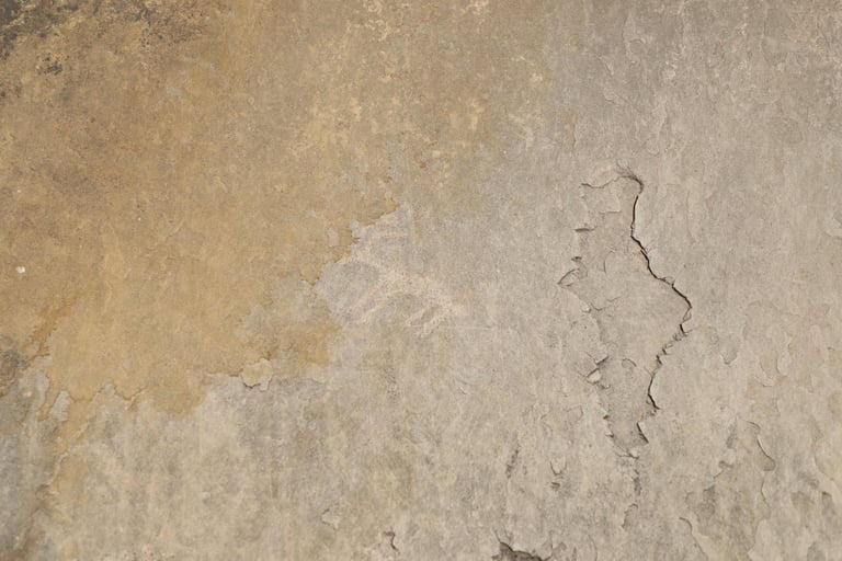
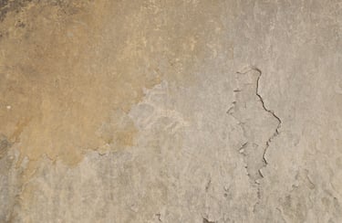
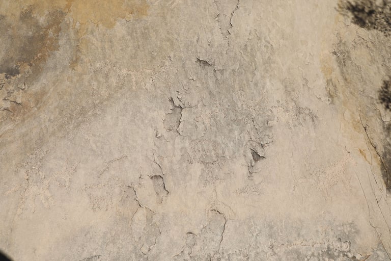
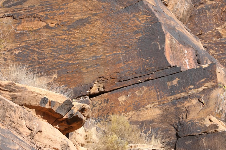
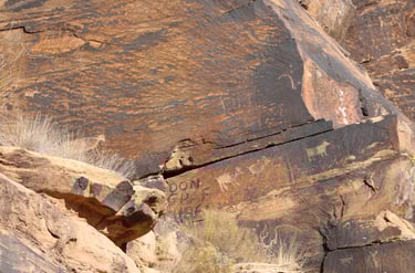
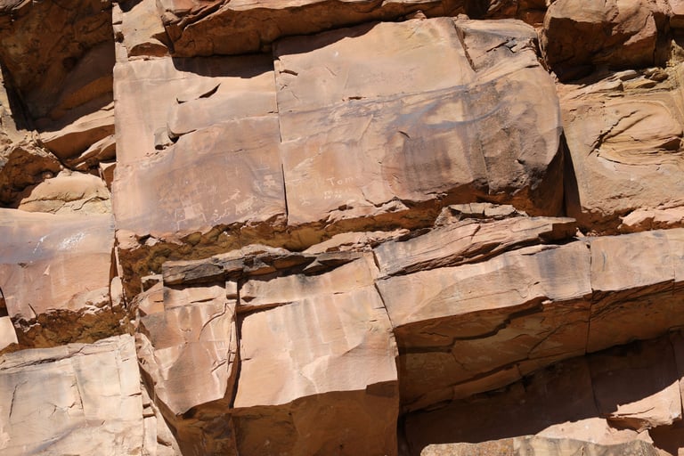
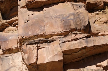
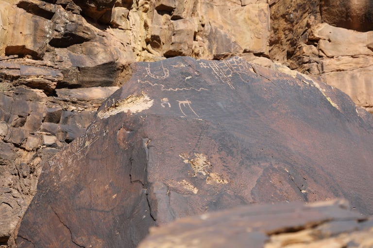
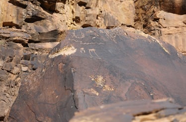
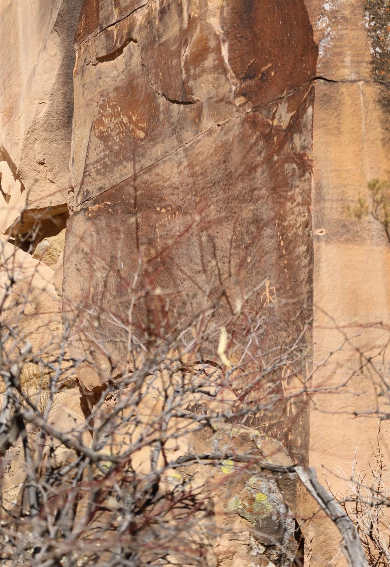
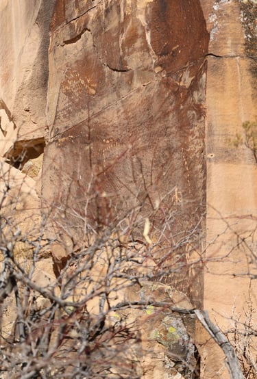
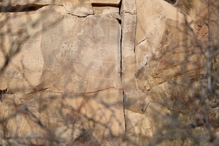
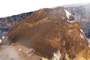
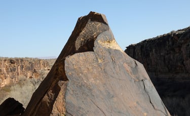
These three photos demonstrate the importance of the sun's angle. I took the first two on our way into the canyon and the last one on our way back. The problem, of course, is you can't sit near a single glyph waiting for the sun's angle to be optimal or you'll never make it to any others.

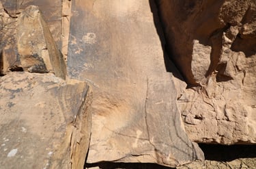
I think there used to be much more to this panel, but time hasn't been kind to it.
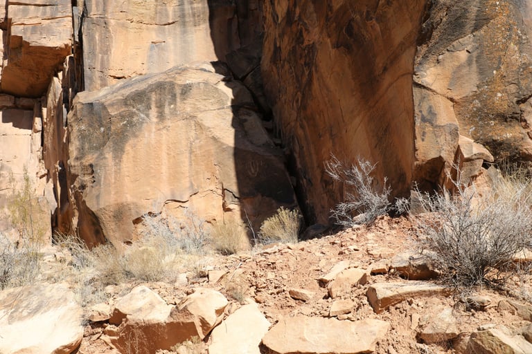
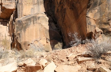
There are a number of glyphs on several surfaces.


You can't see them very well, but there are shrubs everywhere along this trail that have very sharp thorns on them. Neither of us was equipped to clear the underbrush to get close to these.
This was on the side of the rock facing away from the main trail. We found that getting next to the cliff face (where the thorns permitted) revealed many ground-level glyphs.
I found it clever that the artist used the crack in the rock as part of the animal's open mouth. Castleton v2, p140.
In the center of the frame there is a very faint single figure.
You can see the thorny shrubs better in this photo.
I can't tell if this was the intent, or if it was a glyph that has been obliterated.
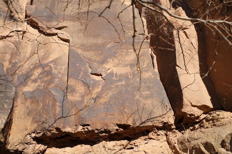
Near the center is an animal, but there are several glyphs near the top of the rock. There are others below the animal as well.
This is the animal near the center.
These are the glyphs below the animal. The appear very old to me, except the glyph on the left looks like a figure on a horse. If that's the case, then it's post-Columbian.

This is one of only two pictographs I saw. I haven't included the other because I'm not convinced it was genuine.

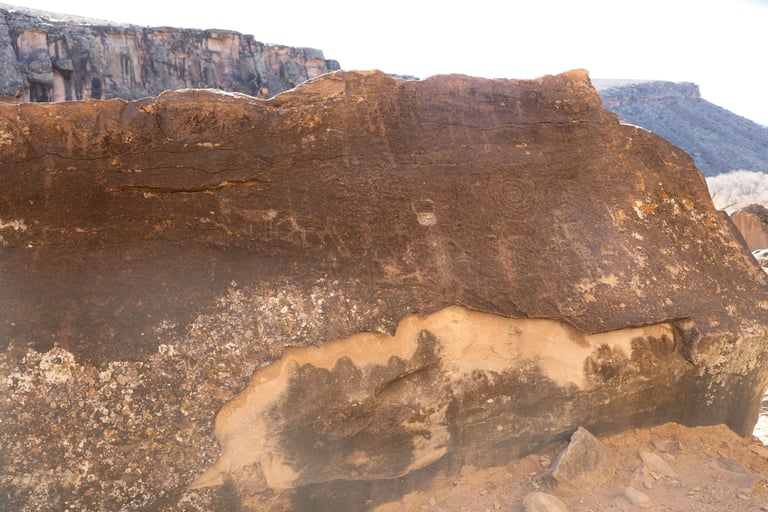
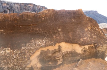
These three photos are from different angles of the same area. Above the complex geometric glyph, you can see what looks like fast-forward and reverse symbols. We saw this a couple of times. Castleton v.2, p.140.
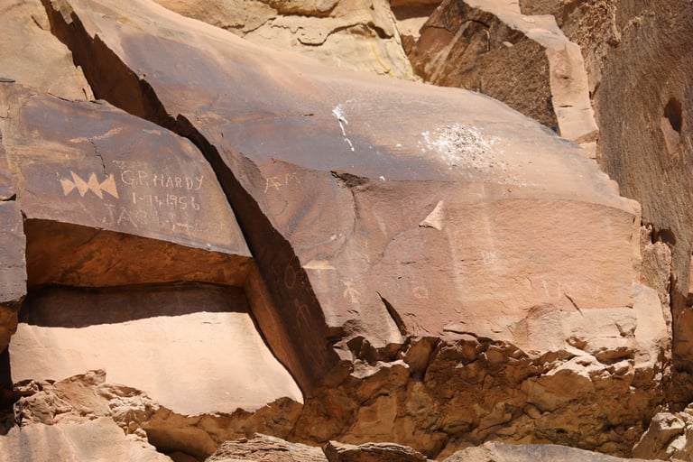

These were beside one another. Castleton v.2, p.141.
As we experienced at Little Black Mountain, the top glyph was hard to photograph because I couldn't get high enough.
Castleton v.2, p.140.
I question the authenticity of this one.
I'm betting the line is continuous below the surface. I wonder if there is anything else hidden by the dirt.

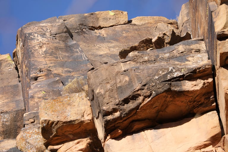

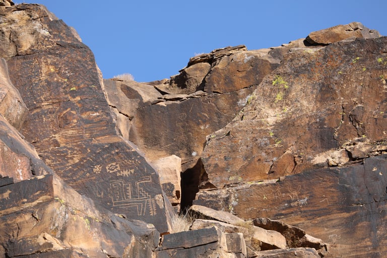
I was a little bit surprised at the number of glyphs with right angles.
I think this is an animal of some sort, just highly stylized with right angles.
Much of this appears pecked into the surface, but it looked carved in a couple of places. Castleton v.2, p.142.

Three fingers and toes, and two heads.
A close-up of the previous photo.
Even many of the animals comprised right angles.
And the figures, too.
While there were many glyphs containing dots, unlike Nine Mile Canyon, where the dots were usually in square or rectangular patterns, the dots here were usually in a single line, single lines that changed direction, or parallel lines.

Of course, not everything was right angles.
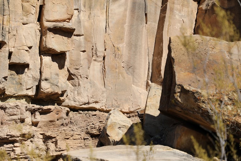
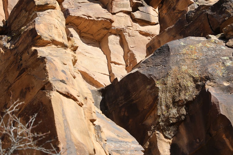
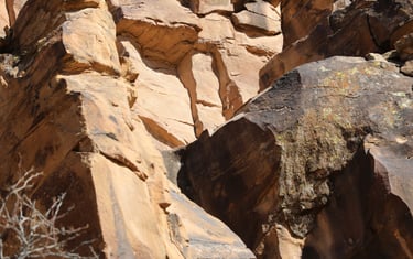
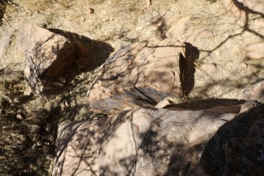
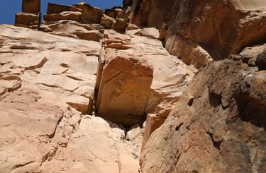
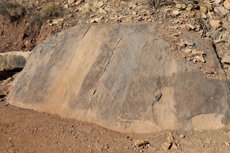
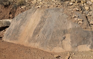
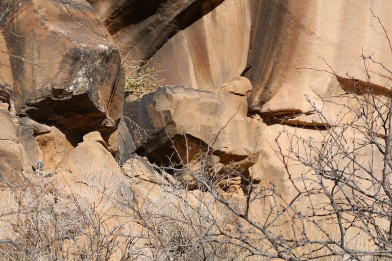
The two dark, triangle-shaped boulders in the middle of the frame had no glyphs visible from the main trail. However...

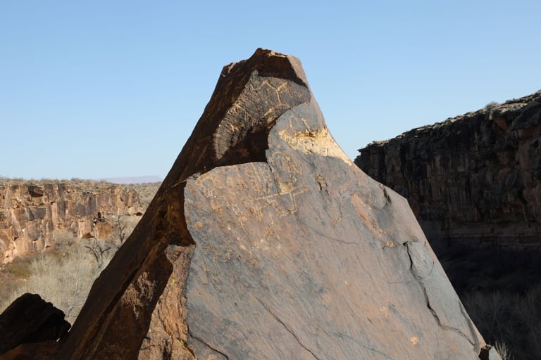
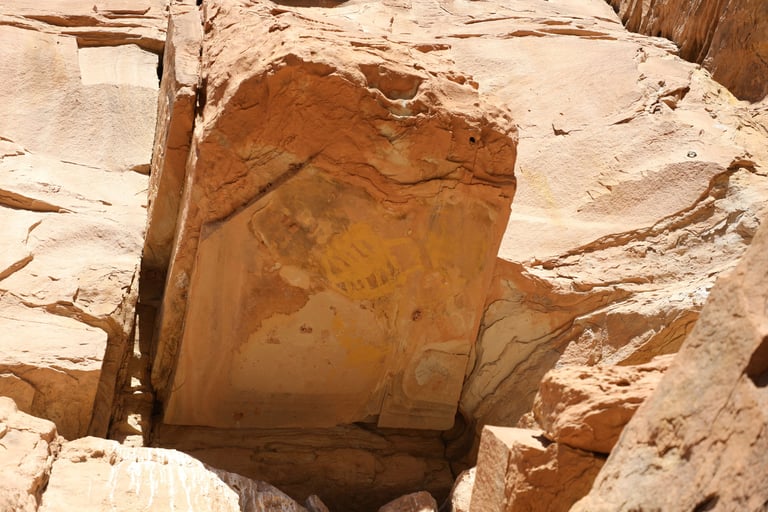
The backsides of these boulders had some excellent panels.
Just around the corner from the previous photo.
And around the corner again. This is the same boulder as the previous two photos.