The Moab Dump Trail
The Moab Dump Trail follows along the cliffs past the dump east of town.
To get to the trailhead, drive south through town on US-191 until you get to 300 South. Turn left on 300 South and drive four blocks to 400 East. Turn right on 400 East and drive two blocks to South Mill Creek Drive. There is a sign for the Sand Flats Recreational area and the Slickrock Bike Trail. Stay on Mill Creek Drive until you come to a stop sign. At the intersection, stay straight. The road turns into Sand Flats Road. Stay on Sand Flats Road for about 1.3 miles until you see a turnout to park.
Coordinates to the trailhead:
UTM: 628257, 4270741
Decimal degrees: 38.57588, -109.52761
Lat/Long: 38° 34' 33.17", 109° 31' 39.40"
Maps:
1:100,000 Moab
1:24:000 Moab
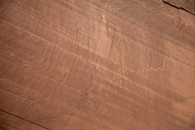
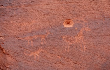
I've seen the figure on the right called a centipede in several sources, but none of them have had a tail as this one appears to have. The ten "legs" make me think it's a scorpion.
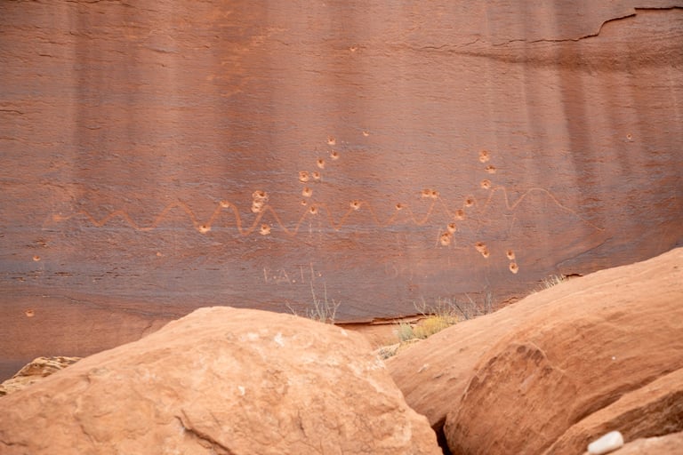

This is one of the longest snakes we've seen.
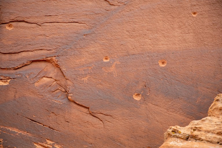

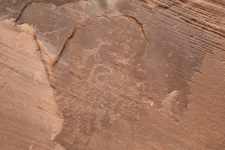
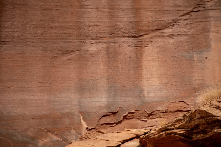
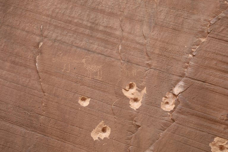
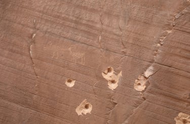
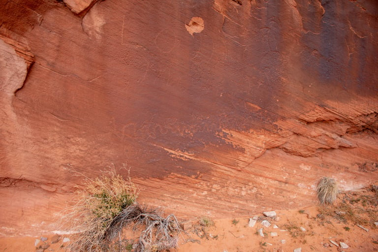
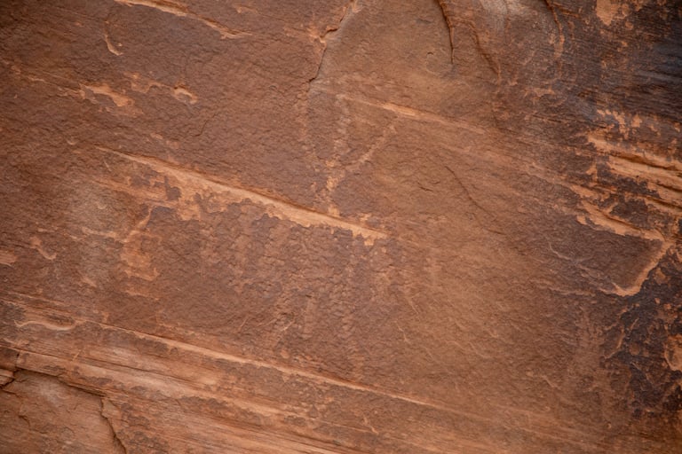
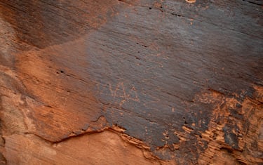
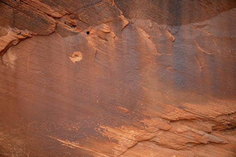
They are difficult to see, but there are several very old petroglyphs in this shot.
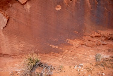
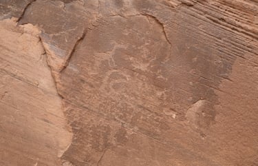
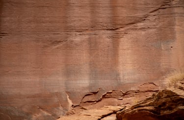
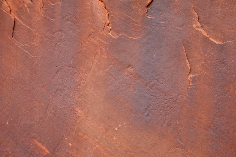
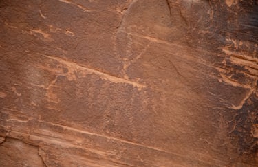
Close-up of the upper right portion of the previous photo.
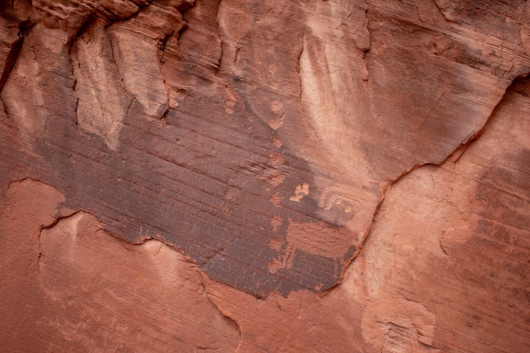
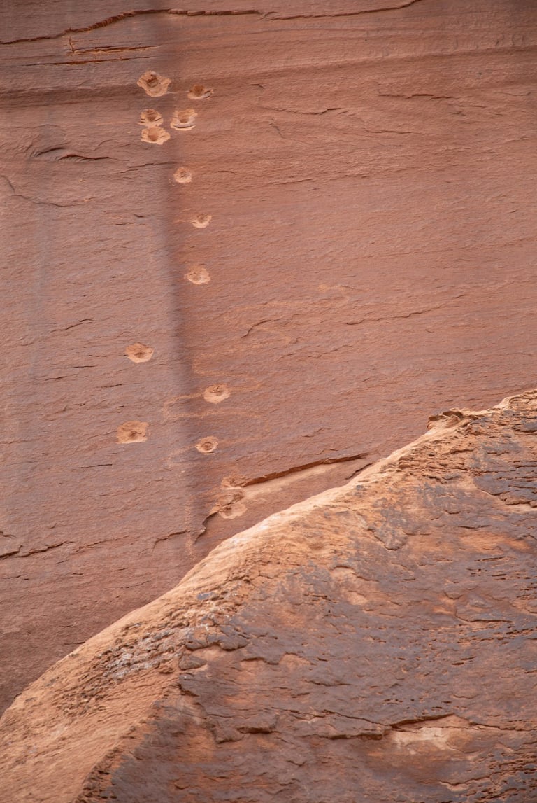
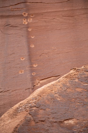
There are several places along the trail where the rock surface looks like a very old plank that has been charred.

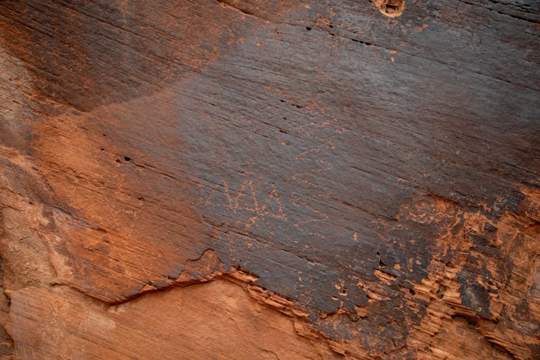
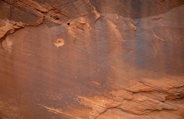
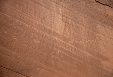
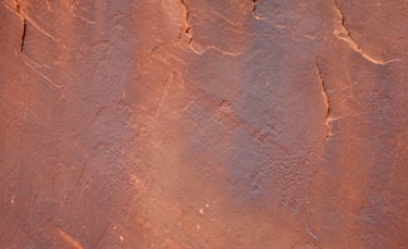
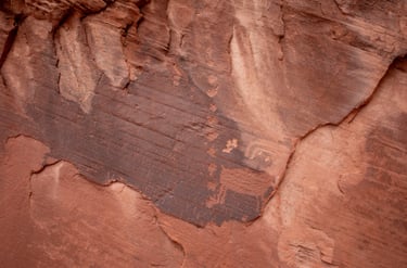
Close-up of the lower left portion.