Sheep Canyon to Harmon Canyon
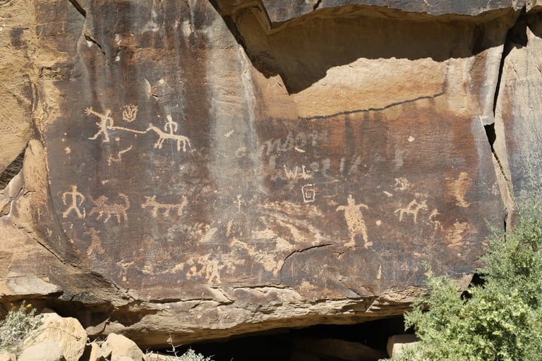
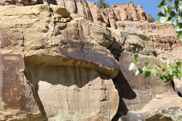
The photographs on this page are found between Sheep and Harmon Canyons. None require walking more than a few feet off the road, and most are easily seen from the side of the road. That said, if there wasn't anything indicating that they were on private property, we often got a bit close for a better photo.
Coordinate for Sheep Canyon:
UTM: 553550, 4406298
Decimal Degrees: 39.80497, -110.37443
Lat/Long: 39º 46' 17.89", -110º 22' 27.94"
Coordinates for Harmon Canyon:
UTM: 557240, 4406621
Decimal Degrees: 39.80764, -110.33130
Lat/Long: 39º 48' 27.50", -110º 19' 52.68"
Maps:
1:100,000 Price
1:24:000 Current Canyon

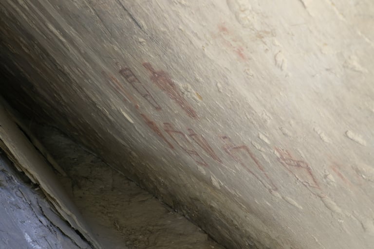


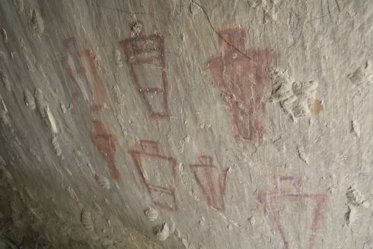

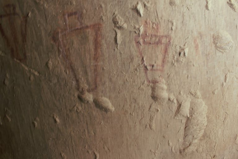

This was a really tight space. I had to stick my arm in with the camera, guess, and release the shutter.
Sean was able to get in a little farther. Helmick p. 104-106.
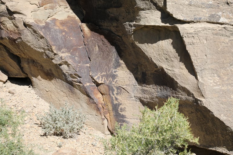

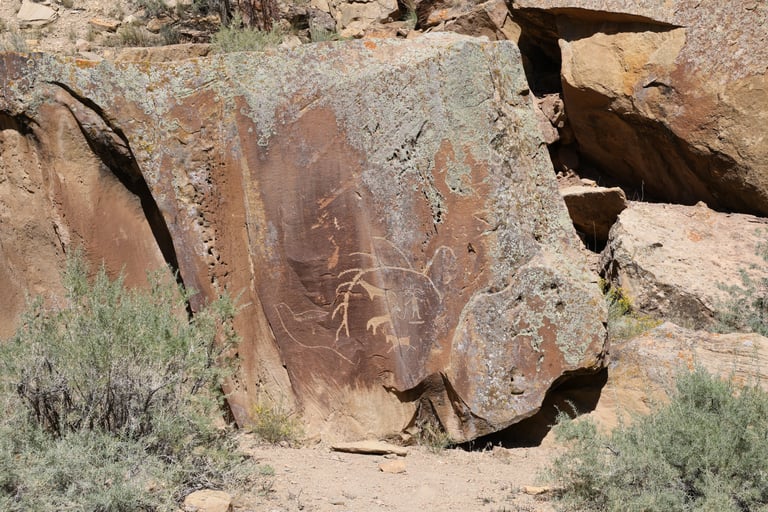




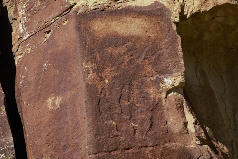

These two are closeups of the figures on the left of the photo above.
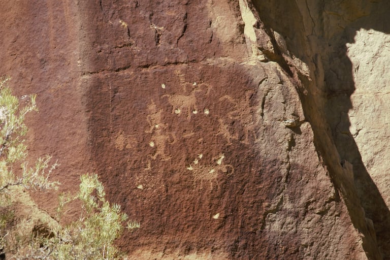

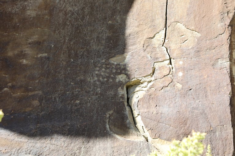

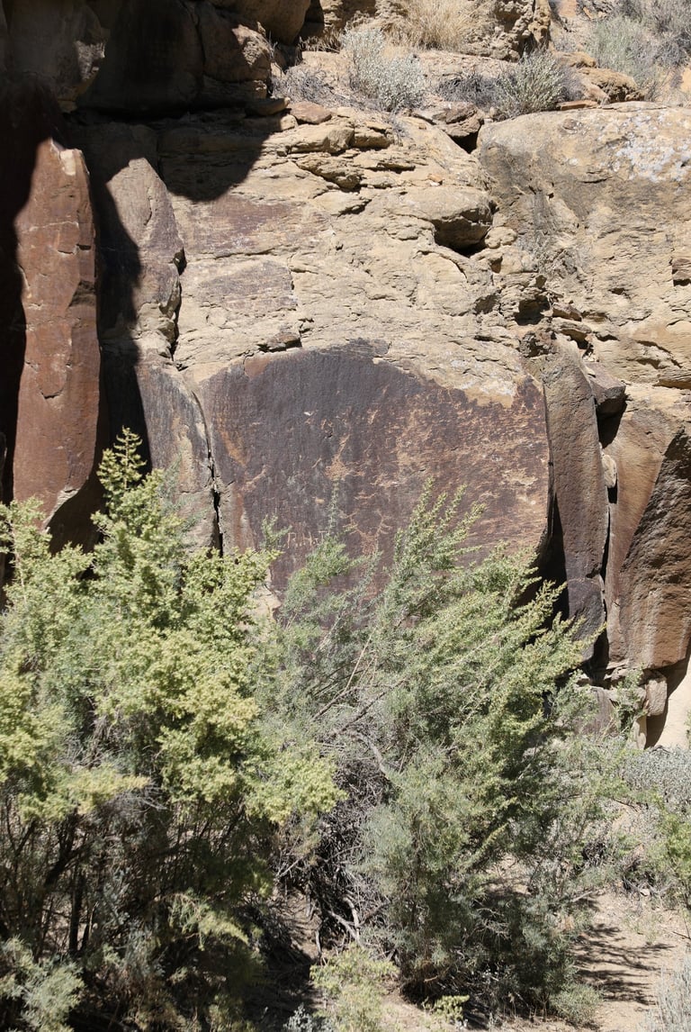

These squares of dots are common in all parts of the canyon.
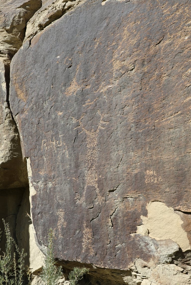


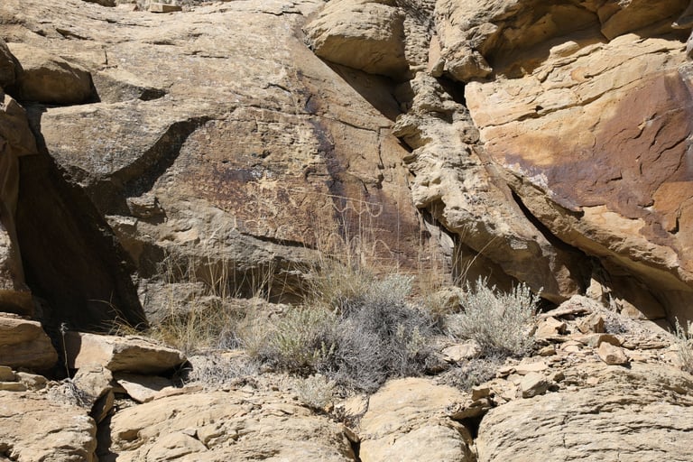

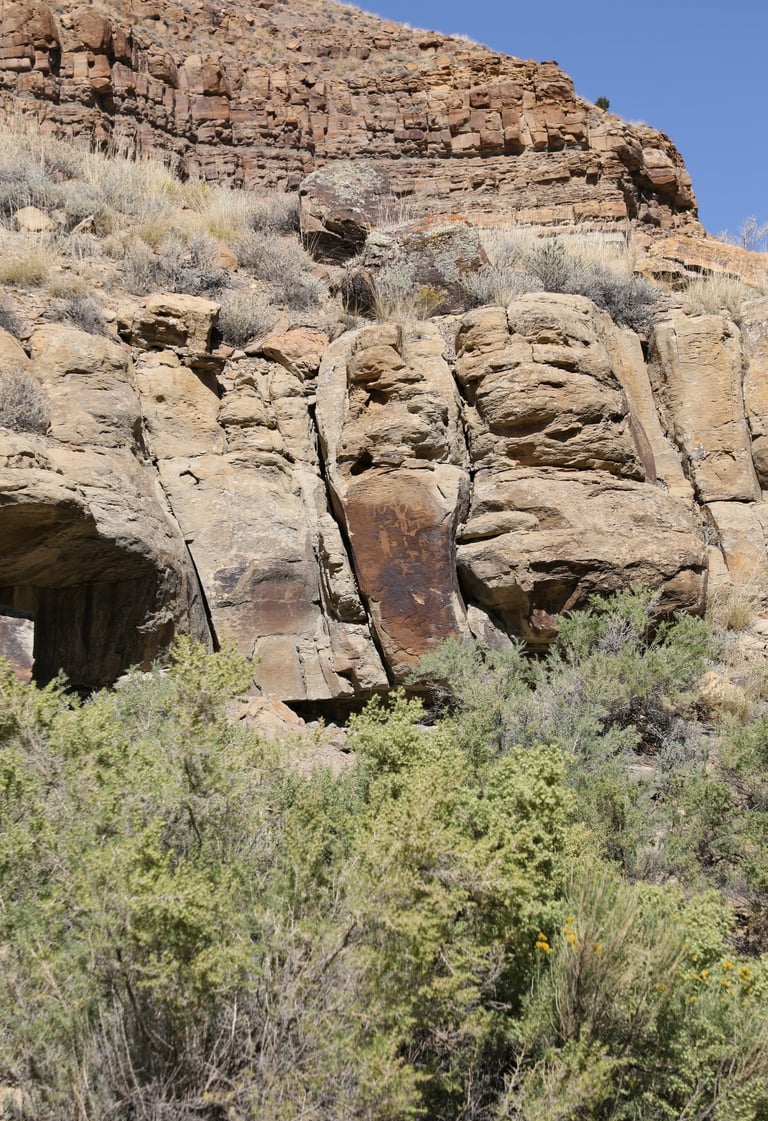

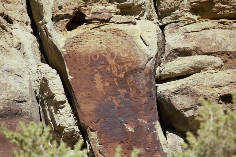

A closeup of the previous photo. Helmick p. 107.
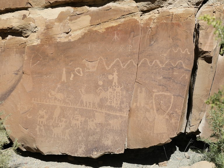

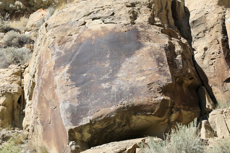

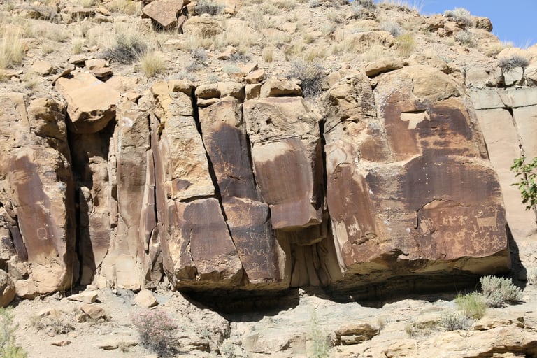

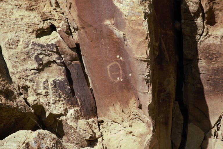

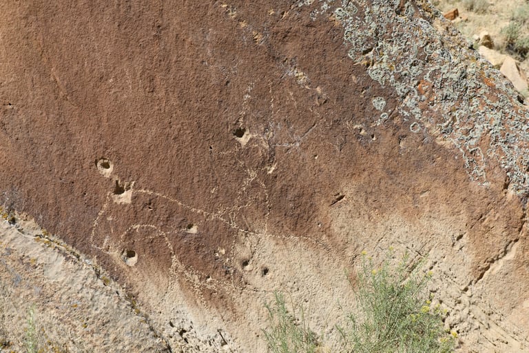
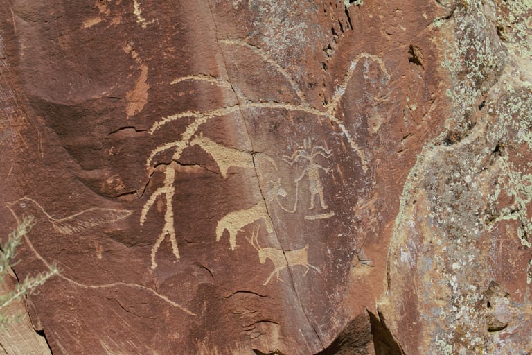
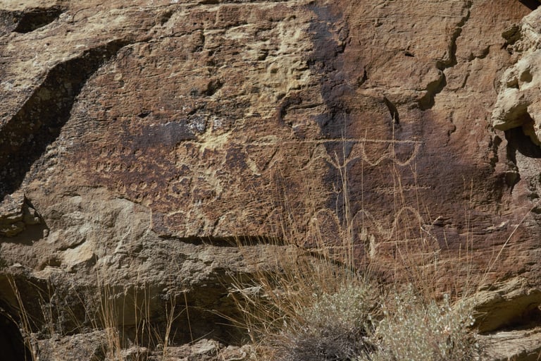
The next five photos are closeups of this panel.
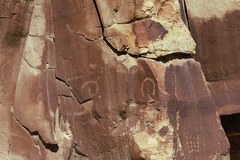

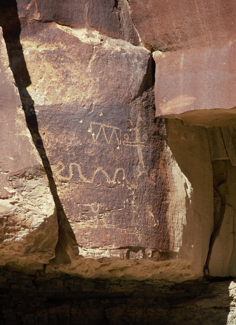

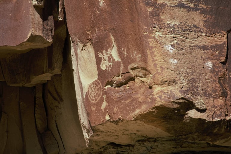

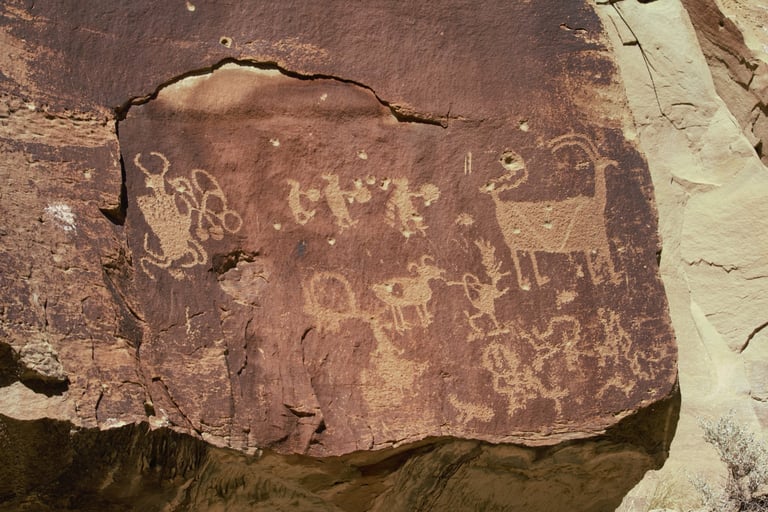

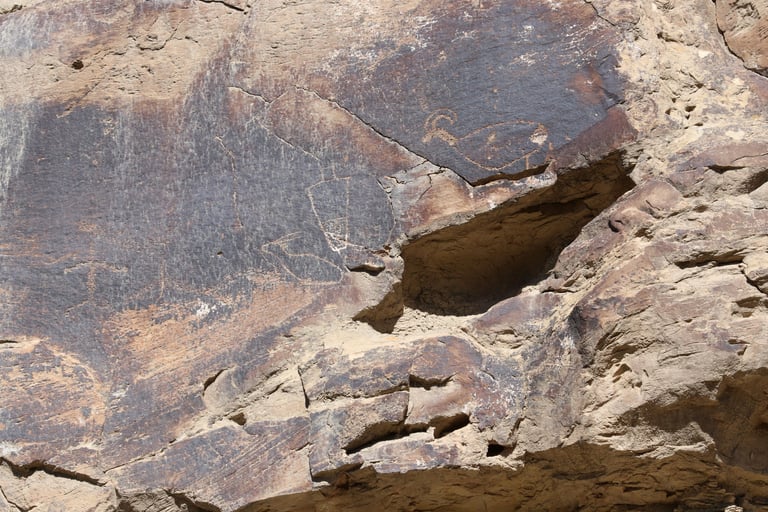

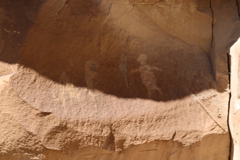

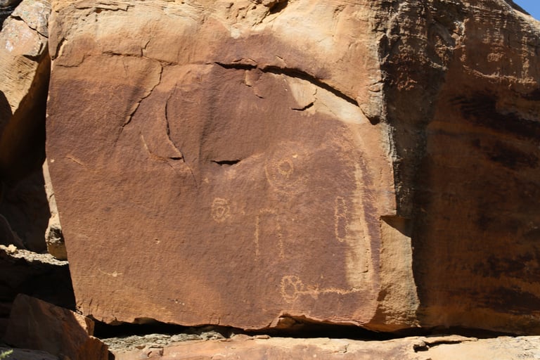

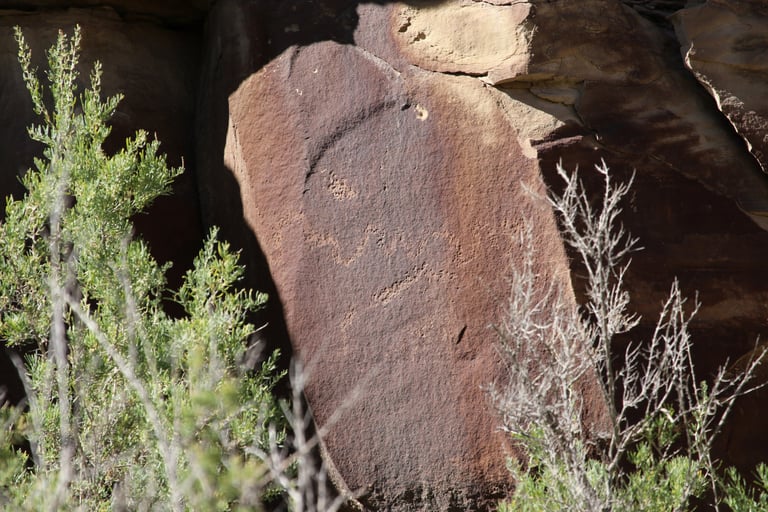

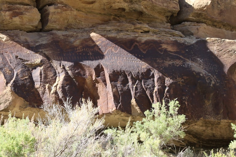

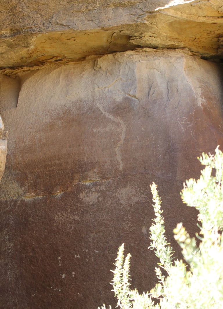

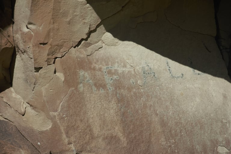

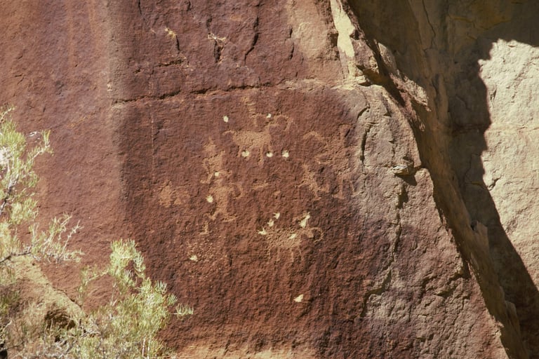

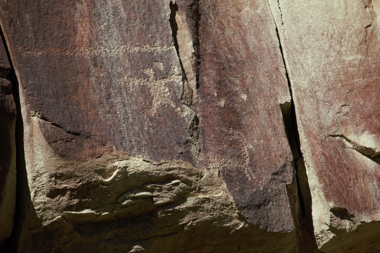

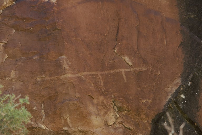

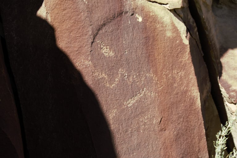

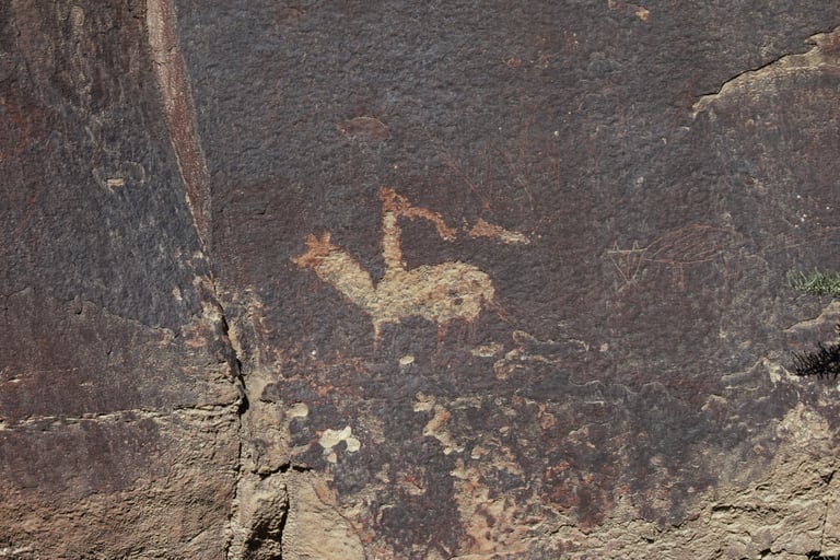
The animal on the bottom and the bird on the left look like they were carved or ground out, unlike the others, which were pecked, like most petroglyphs in the canyon.
Castleton v.1 p. 83; Helmick p. 110.
Schaafsma p. 36.
Castleton v.1, p84; Helmick p. 110; Slifer p. 182; Spangler pp. 23, 60.
Slifer p. 182.
Helmick p. 104, 108.
Helmick p. 109.
