Pregnant Buffalo
Pregnant Buffalo refers to one particular glyph, but we refer to the panels and individual glyphs in the immediate area by that moniker. About a mile from the split of Nine Mile Road and Cottonwood Canyon Road, there is a turnout on the right side of the road. Park there and follow the trail that goes east, through a wash and over a brush-covered field toward the Cliff face that is about 150 feet beyond the road. The first panel appears to be on BLM land, but the last three or four photographs below are on private property. However, it appears the landowner doesn’t mind people walking to the second panel. To the left of the main panel is a fence. There is an intentional break in the fence and BLM trail markers that lead to the pregnant buffalo and a few other glyphs. Stay on the trail so we don’t lose our ability to see this fascinating glyph.
Coordinates for the parking:
UTM: 574106, 4404058
Decimal degrees: 39.78324, -110.13457
Lat/Long: 39º 46' 59.66", 110º 8' 4.45"
Coordinates for the first panel:
UTM: 574148, 4404081
Decimal degrees: 39.78350, -110.13348
Lat/Long: 39º 47' .60", 110º 8' .52"
Maps:
1:100,000 Price
1:24,000 Cowboy Bench
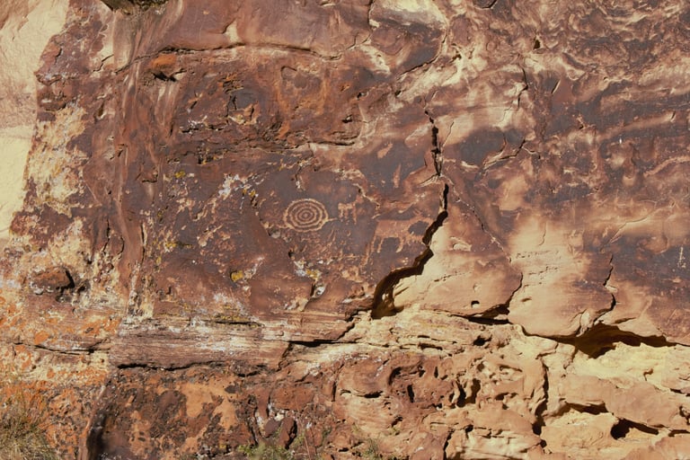

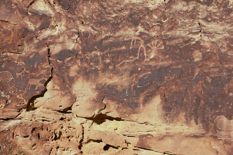

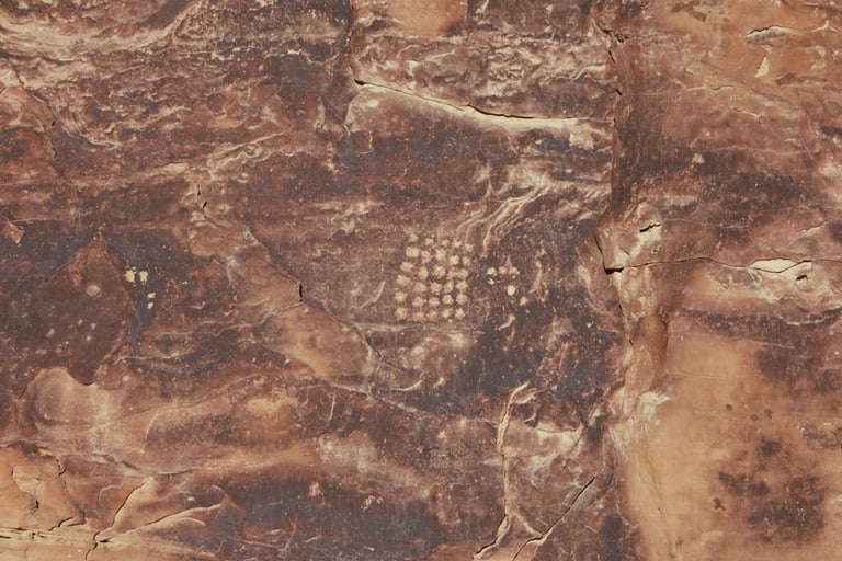

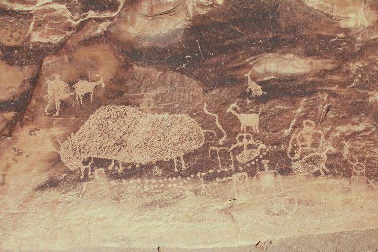

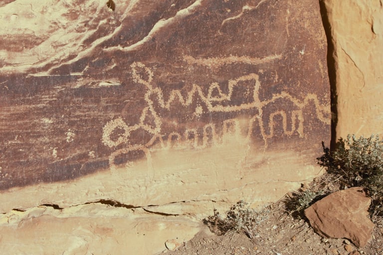

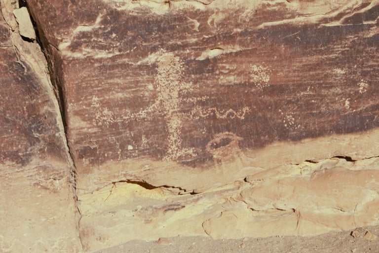

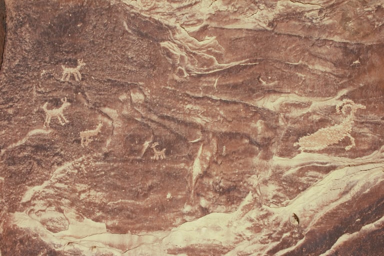

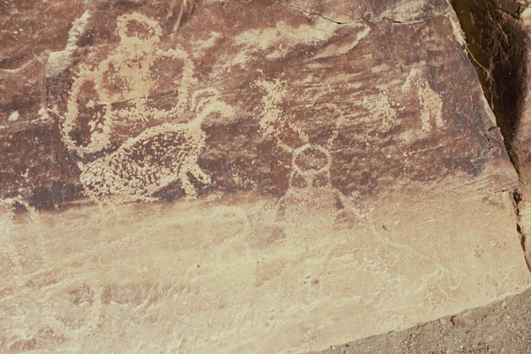

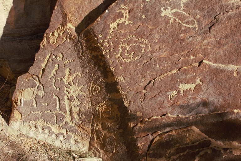

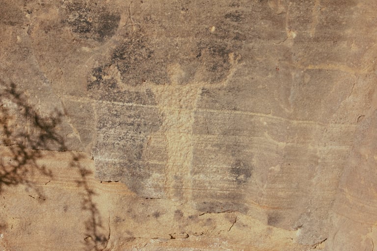

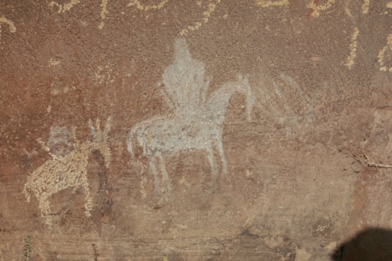

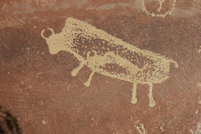

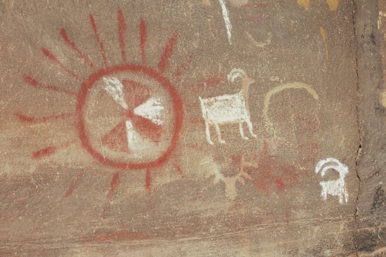

It's easy to see how this glyph got its name
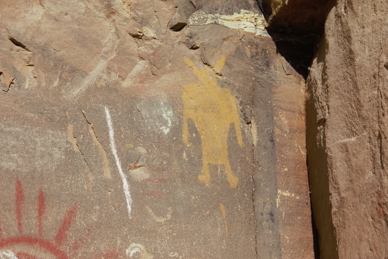

Spangler p.31.
Slifer plates between pages 134 & 135
