Moab Mastodon
The Moab Mastodon is a side hike off Kane Spings Road on the south side of the Colorado River. It's an easy hike that is about 1/3 mile each way. All of the art we saw was on the east side of the road on the cliff walls. We took these pictures on the way to the Mastodon and on the way back. Rather than use the dirt road that leads to the Mastodon, hug the cliff walls to find the following glyphs.
We wondered about several of these glyphs, whether they were done by ancient Native Americans, post-Columbian Native Americans, or someone else. If you have any input, please let us know. Sharing these photos is our first goal, but only slightly less important is learning about ancient rock art.
The coordinates for the parking lot are:
UTM: 622602, 4267407
Decimal degrees: 38.54664, -109.59310
Lat/Long: 38° 32' 47.90", 109° 35' 35.16"
The Mastodon:
UTM: 622936, 4267699
Decimal degrees: 38.54922, -109.58921
Lat/Long: 38° 32' 57.22", 109° 35' 21.19"
Maps:
1:100,000 Moab
1:24,000 Moab
It's easy to see how it got the name Moab Mastodon. It certainly looks like a trunk. What did the artist mean for it to represent? Did Native Americans coexist with mastadons?
Patterson discusses this glyph and its age in depth. Patterson p. 142.
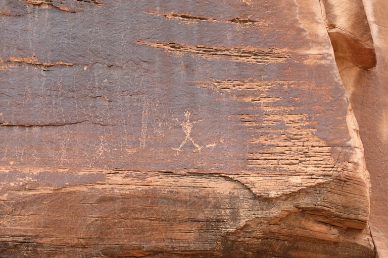

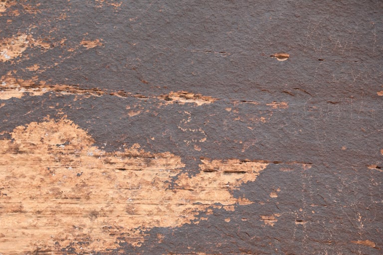

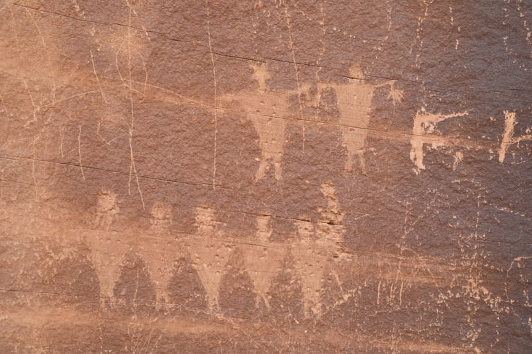

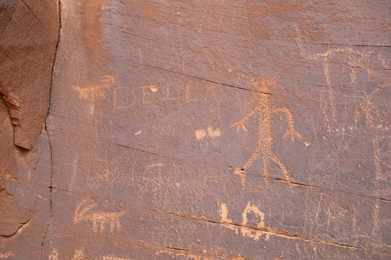

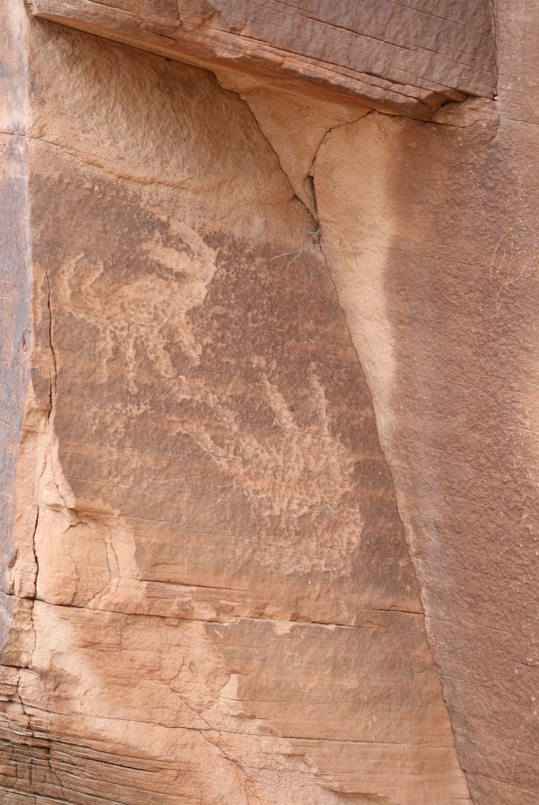

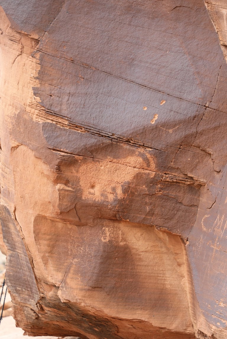

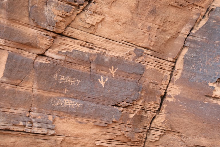

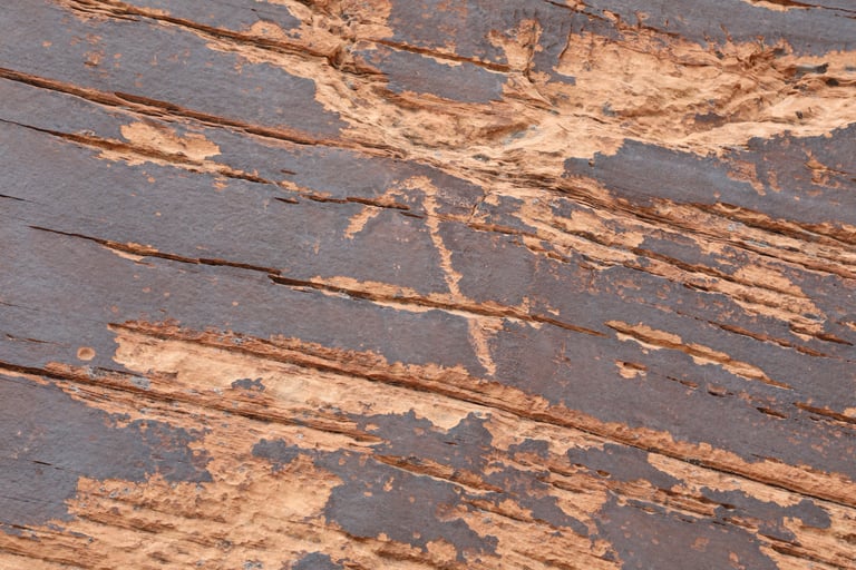

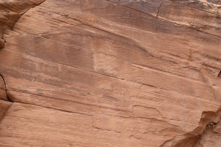

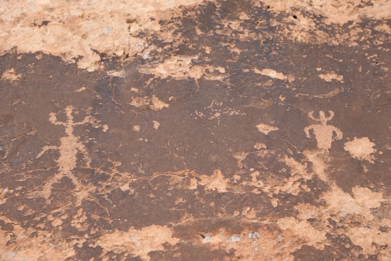

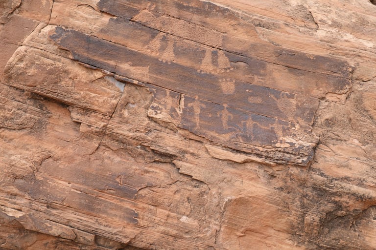

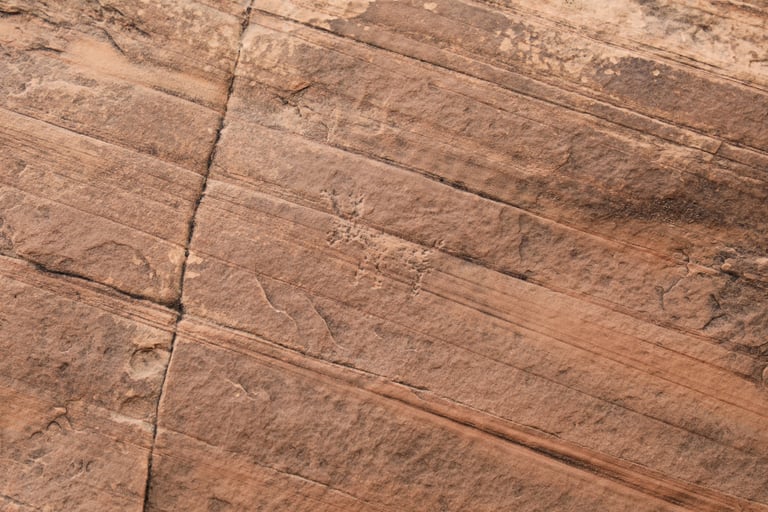

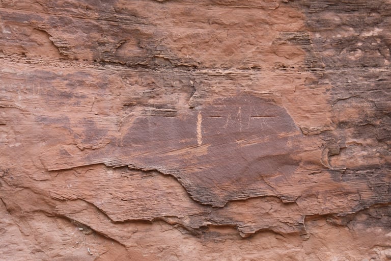

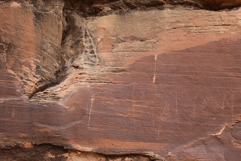

We're unsure about the age or authenticity of the rest of the glyphs.
There is a bisected circle on the left side and some arcs and animal figures on the right side.
