Harmon Canyon to Currant Canyon
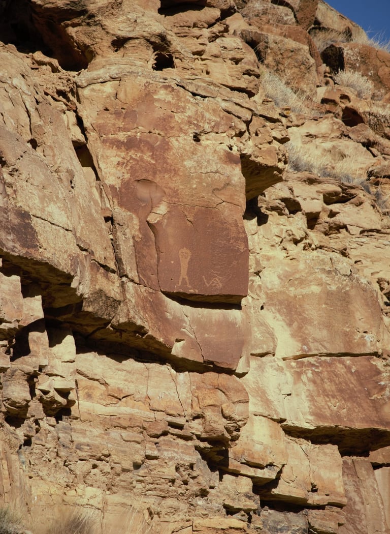
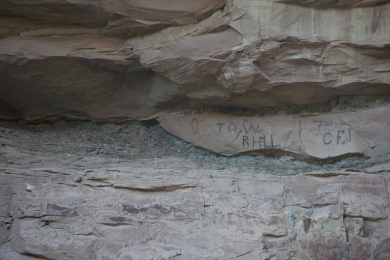
The photographs in this section are found between Harmon and Currant Canyons. None require walking more than a few feet off the road, and most are easily seen from the side of the road. That said, if there wasn't anything indicating that they were on private property, we often got a bit close for a better photo.
Coordinates for Harmon Canyon:
UTM: 557240, 4406621
Decimal Degrees: 39.80764, -110.33130
Lat/Long: 39º 48' 27.50", -110º 19' 52.68"
Coordinates for Currant Canyon:
UTM: 560438, 4407186
Decimal Degrees: 39.81251, -110.29389
Lat/Long: 39º 48' 45.03", -110º 17' 38.00"
Maps:
1:100,000 Price
1:24:000 Current Canyon
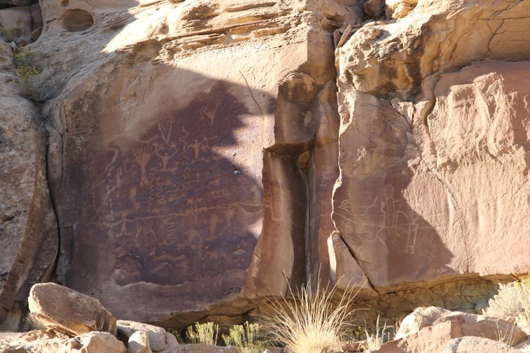

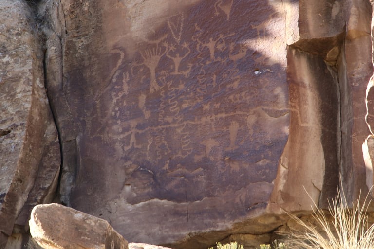

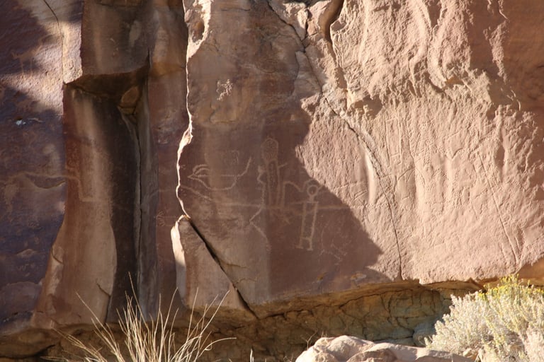

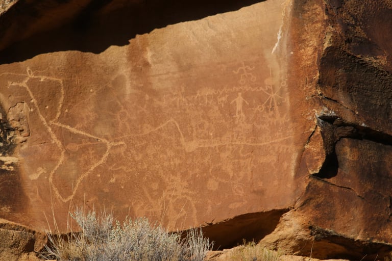
These two are closeups of the top one. If you look closely at the right of the last photo, there are many petroglyphs that don't show up well. I'm not sure if it was the bright sunlight or the lack of a patina. I found it interesting that the horizontal line begins on one rock face, extends into the large crack, and then out onto the adjacent rock face.
Helmick refers to this panel as the Tree of Life Panel. Helmick p. 122.
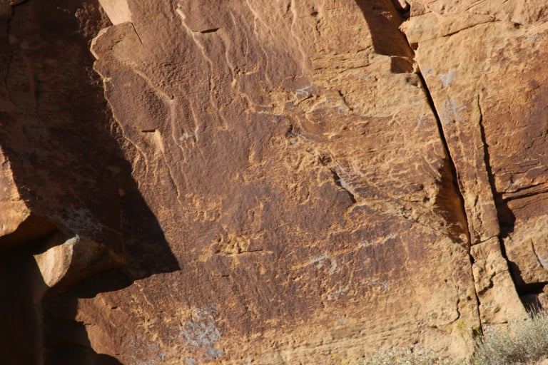

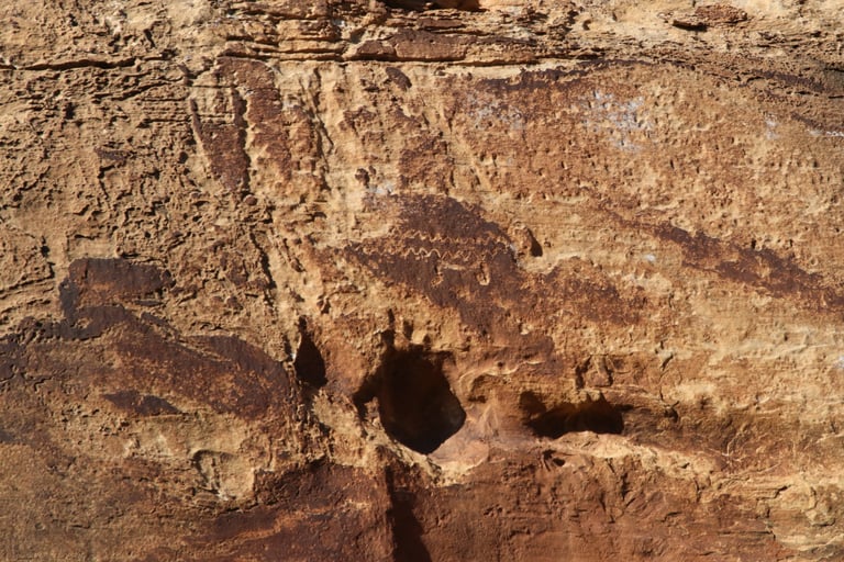

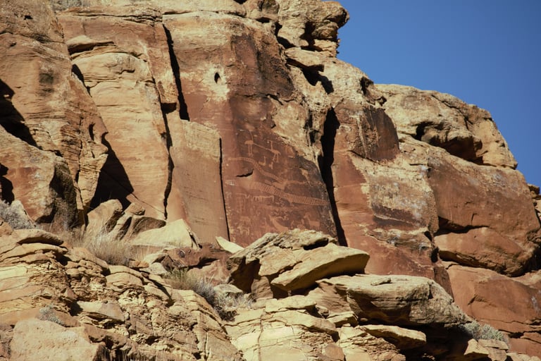

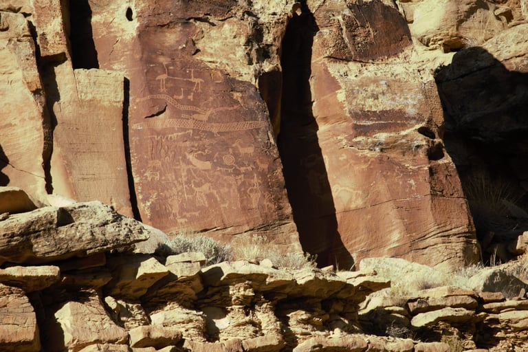

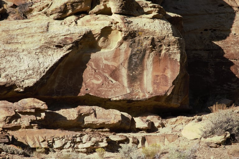
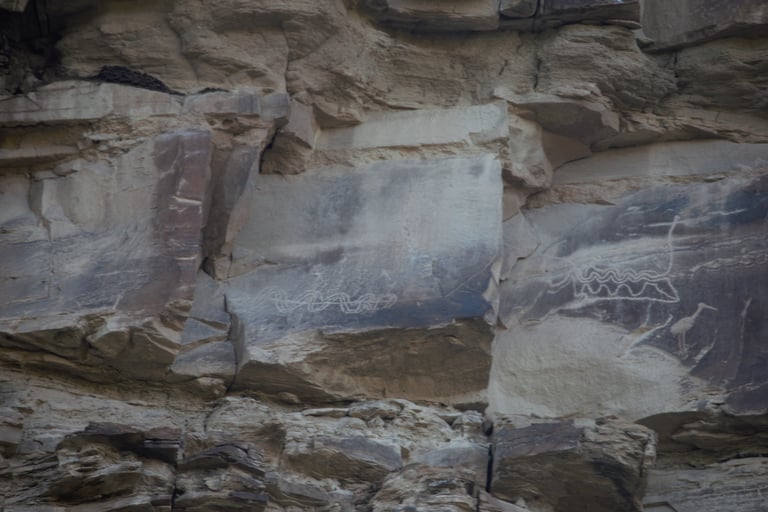
These two are of a panel often referred to as the Sand Hill Crane Panel. Schaafsma p. 37; Slifer p. 183; Spangler p. 63.

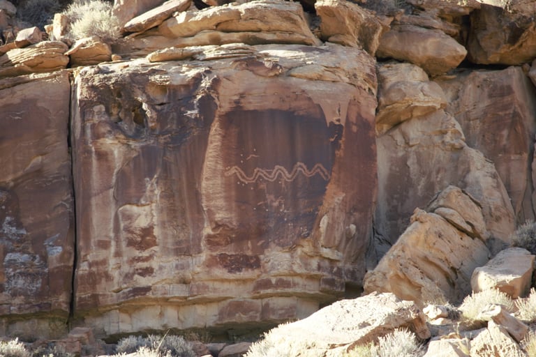

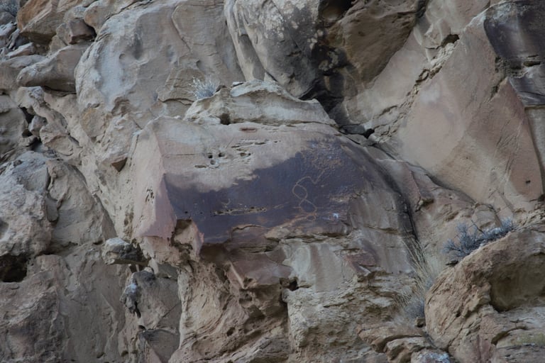
Helmick p. 126.
Helmick p. 122.
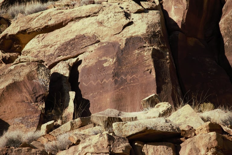

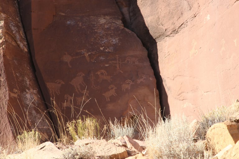

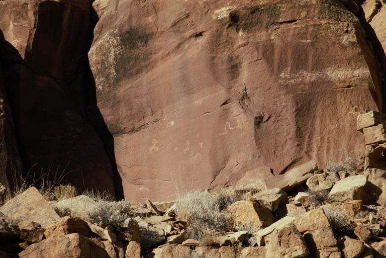

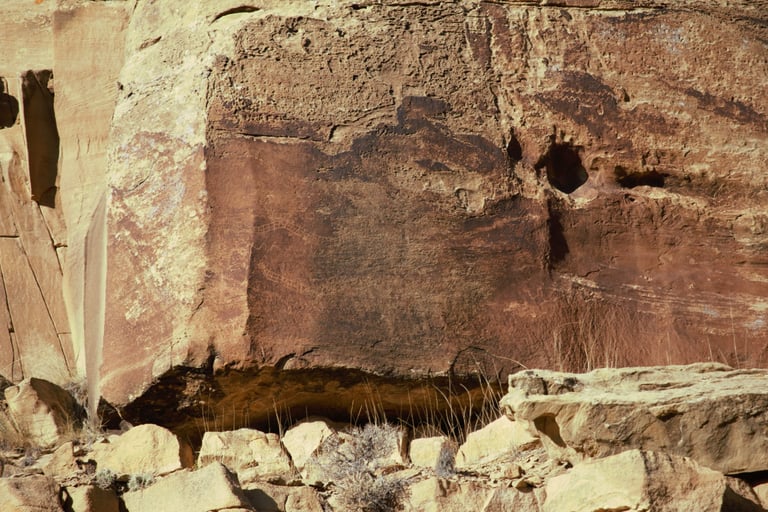
These three photos are of essentially one panel. Both of us tried to get the whole panel in one shot, but the shadows made that nearly impossible. Helmick p.127.
